Wet conditions continue; dams release record amounts of water
After three consecutive years of flooding in the Red River Valley, there's no sign of drier conditions.
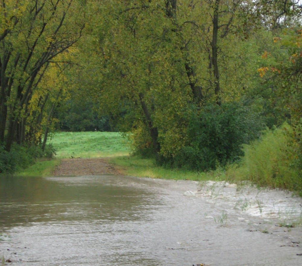
At a time of year when water levels typically recede, lakes and reservoirs are full and dams are releasing record levels of water. That's particularly the case across western and northwestern Minnesota, where high water is the norm.
On the Otter Tail River near Fergus Falls, for example, the roar of water running over the Orwell Dam is deafening.
The Otter Tail joins the Bois de Sioux at Breckenridge to form the Red River. About four times as much more water rushes through the dam as is normal in July.
Create a More Connected Minnesota
MPR News is your trusted resource for the news you need. With your support, MPR News brings accessible, courageous journalism and authentic conversation to everyone - free of paywalls and barriers. Your gift makes a difference.
"Typically this time of year we'd be at 350, 400 cubic feet per second," said Robert Schimming, who maintains the dam for the Army Corps of Engineers. "And we've been well over 1,200 all through this season. It's unprecedented. We're charting new territory if you will."
One cubic foot per second of water equals 7.8 gallons. The Orwell Dam has averaged more than 1,000 cubic feet per second daily for the past twelve months.
Flows through the dam have never been so great or sustained since it was built in 1948, according to the U.S. Geological Survey.
Lake Traverse and Mud Lake which feed the Bois de Sioux River are also high, said Ferris Chamberlin, chief of water management for the St. Paul District of the Corps of Engineers. The Corps is releasing as much water as possible without causing flooding downstream.
Chamberlin said releases from the White Rock Dam are flooding some farmland along the Bois de Sioux River south of Breckenridge.
"I think there was four inches of rain a little while back," he said. "Now if I'm releasing channel capacity, where does this other four inches of water go? It goes out in the farmer's field."
"The idea of operating a reservoir correctly is that you get just as many complaints from downstream as you get from upstream," Chamberlin said. "And we're running pretty close to that."
Other reservoirs in the region are also holding much higher levels than normal. Releases from Lake Ashtabula on the Sheyenne River in North Dakota have never stayed so high for so long.
Chamberlin said the Lac Qui Parle reservoir which flows into the Minnesota River is also releasing unprecedented amounts of water for mid-summer.
National Weather Service Meteorologist Greg Gust said the water is a cumulative effect of more than 15 years of greater than normal precipitation. Across a wide area of eastern North Dakota and western Minnesota, lakes and wetlands are full, and the soil is saturated, he said.
All that excess moisture influences local weather as more moisture in the lower levels of the atmosphere creates more big storms with heavy rain.
"The thunderstorm which might have been the size of a township in a drier period is the size of three townships," Gust said. "The heavy rain event that might have covered a few square miles in a drier period is covering ten times as many square miles. So, the volume of water available for runoff increases dramatically."
In a normal July, a one- to two-inch rain in the Red River Valley would be quickly sucked up by thirsty crops, Gust said. But this year the soil is so saturated, even a one-inch rain causes runoff into rivers and streams.
Gust said it would take several weeks of dry, warm weather for the lakes and rivers to catch up. But the long-range weather outlook is for a cool, wet fall.
"If this continues, next spring is going to be an awfully darn floody year again," he said.
At Orwell Dam on the Otter Tail River, Schimming said continued wet conditions make it difficult to manage the lake behind the dam for spring flood control.
"It's going to keep our lake level higher so we may not have the luxury of reaching our 15 foot draw down in the spring," he said. "If we stay high all winter because it's coming in so fast we'll probably have a hard time getting it drawed down."
Schimming said he expects above normal flows in area rivers to continue into the fall and winter.
