Forest managers defend decisions in BWCA fire

Rains in northeastern Minnesota have muffled the Pagami Creek fire for the time being.
Forest managers are using the breathing space to look back at how they've handled the fire so far -- and to justify their actions to local critics.
They also say they plan to continue an all-out battle against the blaze until it's either 100 percent contained or snuffed out by snowfall.
The Pagami Creek fire, which grew into the biggest wildfire in Minnesota in 80 years, started out quietly with a lightning strike in a swamp a few miles east of Ely.
Create a More Connected Minnesota
MPR News is your trusted resource for the news you need. With your support, MPR News brings accessible, courageous journalism and authentic conversation to everyone - free of paywalls and barriers. Your gift makes a difference.
After 40-plus years in which officials sought to put every fire out, the policy in the Boundary Waters Canoe Area, as in wilderness areas around the country, has changed. Now fire is seen as a natural process that can benefit the forest, as long as human safety is not at risk.
"Knowing now what happened over the last 20 days, if we had known that back then, we would have done things differently," said Mark Van Every, district ranger for the western part of the Superior National Forest.
Van Every and the Forest Service have taken a lot of criticism from local residents over early decisions to let the fire take its course. He said Thursday that officials were vigilant about managing the fire and wanted to make sure they kept ahead of it.
Van Every said that after eight days when the fire smoldered benignly in a one-acre area, the weather changed to dry and windy, and the fire jumped to 130 acres. Van Every said he immediately called in outside fire managers and organized a planned burn to protect the Fernberg corridor, an area to the northwest with homes and resorts.
Some people criticize that burn, suggesting it may have inflated the fire. But Van Every said his staff has run simulations showing that without it, the fire would have surged to the northwest as well as to the south.
On Sept. 12, the blaze exploded into a firestorm, creating its own wind and surging 16 miles, ending the day 90,000 acres bigger. Then the weather changed and the fire has spread very little in the last several days.
Officials say the Pagami Creek fire is 30 percent contained. Most of the firefighting has been done in the northwest and south. Those are the easiest areas to reach, but they're also the places closest to where people live. Van Every said he's hopeful that the fire will end soon, but wants to be careful.

"My confidence level is pretty high, but my confidence level was high last Monday the 12th, when the fire made a large run, that it wouldn't go that far either," he said. "So I'm still concerned, and we're not losing our focus or attention on protecting those people."
Van Every also is keeping an eye directly north of the fire, where a few miles away lie acres and acres of drying trees felled by the big 1999 blowdown.
The Boundary Waters area is described as a fire-dependent ecosystem. Some trees like jack pine depend on fire to release their seeds. If not for occasional fires, the forest would be dominated by spruce and balsam fir -- which is especially flammable.
Van Every said overall, the agency's policy places a priority on protecting human health first and the ecosystem second. He said the policy is working, and notes that the Pagami Creek is the first of 435 fires since 1987 to escape the wilderness.
The Turtle Lake fire in 2006, which was allowed to burn, helped contain the Pagami Creek fire. The earlier fire deprived the new one of fuel in the Clearwater Lake area.
Jim Sanders, supervisor of the Superior National Forest, said both the agency and neighbors of the forest will take lessons from this fire. He said people are mobilizing to protect their homes.
"Some have already put sprinkler systems in, some have cleared vegetation, guided by Firewise in the area," Sanders said. "We know more will do that, and that's great, because they are living in a fire-adapted ecosystem."
Weather in the next few days is expected to be drier than the last couple. Officials say the fight will continue until it is either fully contained or drowned out by snowfall.
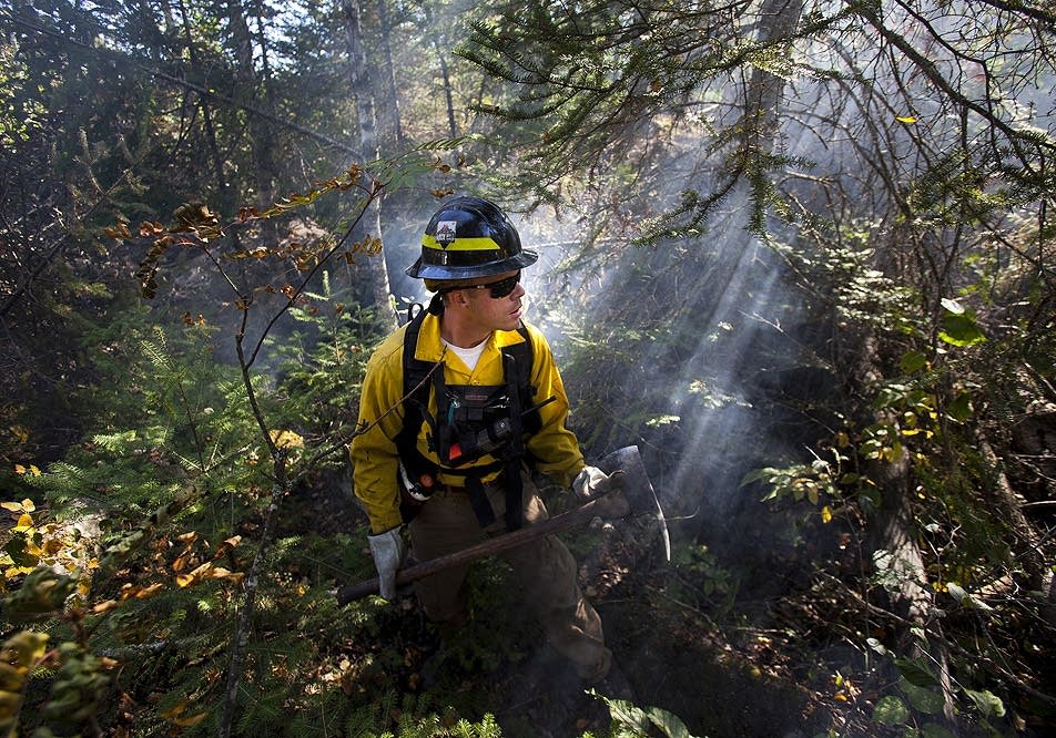
As of early Thursday morning the number of firefighters was still growing, and had reached nearly 840. The cost of fighting the blaze continues to grow as well, at $6.6 million to date.
BWCA FIRE MAP
The icons contain photos of the burn area before the fire started. The icons show closed entry points. The icons indicate entry points that are still open to use as of Friday, Sept. 23, 2011.


