NWS warns Fargo-Moorhead to prepare for a top five flood
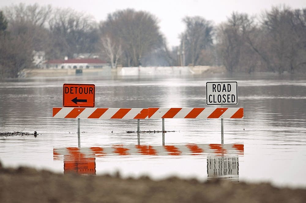
The National Weather Service says a delayed spring melt and late-winter snow increases the risk of flooding in Fargo and Moorhead, but the cities say they are well prepared.
National Weather Service forecaster Greg Gust said water amounts for snowpack in the southern Red River Valley are near record levels.
Gust said colder than normal temperatures are delaying the spring melt.
"Spring thaw cycle in general [is] delayed quite a bit," Gust said. "Spring rainfall now becomes an increased risk. Potential for a rapid thaw and risk of rain on top of that, that's a volatile mix."
Create a More Connected Minnesota
MPR News is your trusted resource for the news you need. With your support, MPR News brings accessible, courageous journalism and authentic conversation to everyone - free of paywalls and barriers. Your gift makes a difference.
The National Weather Service now said there's a 50 percent chance Red River levels will be the same as those experienced in 2011. There's a 10 percent chance the river could reach record 2009 levels.
"That's pretty substantial," Gust said. "Because that means that risk of a rapid thaw and heavy rain on top of what we have here is showing up as a big red flag."
But even those water levels will be easier to handle because hundreds of homes near the river are gone and there are miles of new permanent levees.
Fargo officials said they believe the city is still in good shape because of recent flood protection improvements, but they plan to make 500,000 sandbags to add to a reserve of 750,000 bags.
Fargo-Moorhead residents battled three straight major floods beginning in 2009, when the record crest of nearly 41 feet forced thousands to evacuate and caused an estimated $100 million in damage.
The flood threat comes as Congress is set to consider whether to help fund a nearly $2 billion diversion channel around the Fargo-Moorhead area. The White House has signed off on the project.
(The Associated Press contributed to this report.)