Why was the Fargo flood forecast off by so much?
The Red River in Fargo is cresting today, several feet below the level initially forecast by the National Weather Service.
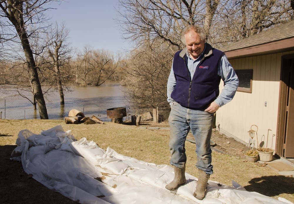
The floodwater won't even get close to most of the sandbag dikes built in Fargo this year.
Just two weeks ago, NWS forecaster Greg Gust encouraged people to prepare for "flood of record." That's a serious phrase; it means water high enough to set a new record river crest.
That outlook said the river would crest between 38 and 42 feet, and that there was a 50 percent chance of topping 40 feet.
Create a More Connected Minnesota
MPR News is your trusted resource for the news you need. With your support, MPR News brings accessible, courageous journalism and authentic conversation to everyone - free of paywalls and barriers. Your gift makes a difference.
Fargo put flood preparations into high gear, filling more than 1 million sandbags.
Click for before and during scenes of this year's flood
MORE FLOOD COVERAGE
• News Cut: The last house standing on Riverview Circle
• Photos: Fargo's 'Sandbag Central' volunteers reflect
• Home buyouts in Fargo-Moorhead key to flood fight
• Myriad factors led to off-base flood predictions
Tick forward to one week ago. The Weather Service began to lower the flood forecast and the final crest will be more than eight feet lower than the possible flood of record forecast two weeks ago.
What happened?
NWS Hydrologist Steve Buan said there was a slow melt, and no heavy rain or snow fell on the Red River Valley. But those factors can't account for the big discrepancy between forecast and flood crest.
Buan said the wild card was the computer prediction models inability to account for dry soil that absorbed as much as half of the snowmelt.
"And also, I think, some of the factors of the dry fall with the depressional storage, the marshes and sloughs that typically hold water. That probably wasn't taken as much into account numerically within the model as what's actually occurring out on the landscape," Buan said.
That's a critical weakness in the flood prediction model, and Buan said it was also evident during the record flood of 2009. That year the soil was saturated and wetlands were overflowing with water. The computer model couldn't account for the extreme wet conditions and the 2009 flood was higher than expected.
"We're seeing the same type of effects, the weakness in the modeling, we're seeing the same type of effect just on the opposite end of the scale — and probably more extreme here with the dry side," Buan said.
So the computer model didn't have data to forecast the effect of empty wetlands and dry soil. Buan said there is no widespread network to monitor soil moisture, and constant changes to the landscape make large-scale modeling difficult.
TURNING ANECDOTES INTO USABLE DATA
But seasoned flood fighters across the Red River Valley did understand the effect.
Tim Bertschi, who has been supervising dike construction along the Red River for the U.S. Army Corps of Engineers since 1989, said it was clear the flood forecast from the National Weather Service didn't match what people observed on the landscape.
"I heard anecdotally from hundreds of people that said 'you can't have a big flood,' " Bertschi said. "We have to find a way to put that anecdotal evidence ... into the forecast model, because that's very important. And I don't think that's been done in the past."
Bertschi said a lot of those observations were passed on to the National Weather Service forecasters.
"I think there has to be some trust. Because I don't know if there is data. You know you have to put trust in folks and make some judgments," he said. "Apply those judgments and certainly qualify them because nobody wants to be wrong on the other side. Gotta try learn from it, but yet they're all different so we can't apply this as a template for every late flood we have either."
FARGO WANTS ANSWERS
There will be more questions asked about the flood forecast. This year's flood fight will cost Fargo more than $2 million.
Fargo's Deputy Mayor Tim Mahoney doesn't want to heap blame on the National Weather Service, but he does want some answers about how the forecast missed by such a wide margin.
"We have to prepare for the worst, which we do," Mahoney said. "[But] people are tired of sandbagging. So we'll ask the weather service to re-look at how they do this and if there's a better way of doing this next year."
The National Weather Service says given the unusual events of this spring flood season, the agency will examine the forecast process. That review will likely take several months.
