DNR seeks public input on Red River flood project, 'high-hazard' dam
Plans for a massive flood diversion project near Fargo, N.D., and Moorhead, Minn., took a small step forward Monday as Minnesota officials released a draft environmental impact statement and invited public comment.
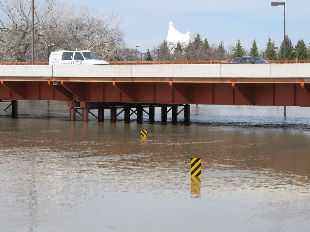
The nearly $2 billion project will require two state permits, including one to build a "high-hazard dam" — a roughly 12-mile long levee south of Fargo-Moorhead designed to hold back flood waters and divert water into a diversion channel.
The flood control project, which would also include a 36-mile channel around Fargo, was designed by the U.S. Army Corps of Engineers after a series of major floods hit Fargo-Moorhead in the past 20 years.
Minnesota law requires state conservation officials to study the impact of any large dams.
"If a high hazard dam fails, there's the potential for significant loss of life and property below that dam. So it's the policy of the state that before we put a high hazard dam in place we've considered the pros and cons of that high hazard dam," said Minnesota Department of Natural Resources Commissioner Tom Landwehr.
A public comment period runs through Oct. 28. The DNR will hold a public information meeting Wed., Oct. 14, from 5 p.m. to 10 p.m. at the Courtyard Marriott, 1080 28th Ave. S., Moorhead. The final environmental statement will be released early next year.
Create a More Connected Minnesota
MPR News is your trusted resource for the news you need. With your support, MPR News brings accessible, courageous journalism and authentic conversation to everyone - free of paywalls and barriers. Your gift makes a difference.