Snowstorm threatening big Midwestern cities
By STEVE KARNOWSKI
Associated Press
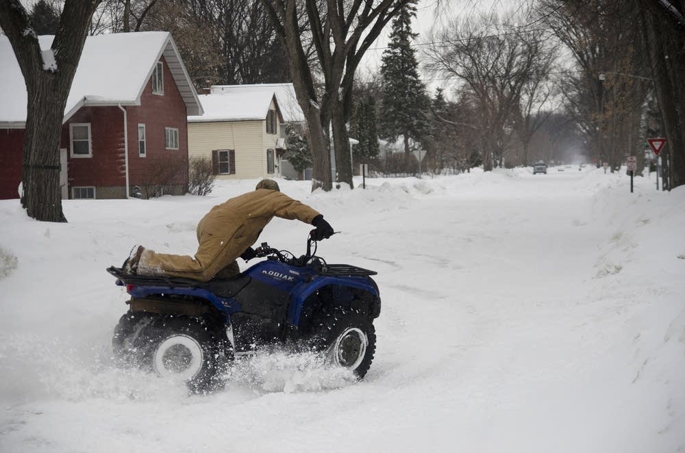
MINNEAPOLIS (AP) -- A late-season snowstorm that blanketed parts of the Dakotas on Monday was threatening to do the same to cities from Minneapolis to Chicago, which were bracing for as much as 10 inches of powder.
The National Weather Service issued winter storm warnings for a long swath stretching across the Upper Midwest from North Dakota and northwestern Minnesota, then southeastward into western and southern Wisconsin, northeastern Iowa, northern Illinois, northern Indiana and into western and central Ohio.
"There's quite a variance (in precipitation) depending on where you are, but overall it's a pretty large storm system," said Dave Kellenbenz, a weather service meteorologist in Grand Forks, N.D.
Create a More Connected Minnesota
MPR News is your trusted resource for the news you need. With your support, MPR News brings accessible, courageous journalism and authentic conversation to everyone - free of paywalls and barriers. Your gift makes a difference.
North Dakota took the brunt of the storm early Monday. In the northeast part of the state, Devils Lake had 11 inches of snow by midmorning, and a foot of snow fell in Sarles about 60 miles to the north. In southeastern North Dakota and parts of eastern South Dakota, freezing rain that coated roads was more of a problem but there were no immediate reports of major accidents.
No travel was advised in several North Dakota counties, while many schools started classes late or canceled them for the day, as did a handful in Minnesota.
Morning commuters in the Twin Cities area got a foretaste of the storm as they were greeted with up to an inch of snow. While rush-hour traffic slowed on many major metro highways, few accidents were reported. The relative lack of problems prompted Lt. Eric Roseke, spokesman for the Minnesota State Patrol, to drop his plan to tweet accident totals, as he customarily does in major snowstorms. Few delays were reported at Minneapolis-St. Paul International Airport.
Morning snowfall totals reached 4 inches in Vesta, Wanamingo and a few other parts of southern Minnesota, but only 1.4 inches in Minneapolis. Still, the weather service said the snowfall was expected to intensify in the afternoon and evening.
More than 10 inches of snow was possible from northwestern Minnesota down into southwestern Wisconsin, including the Twin Cities, by Tuesday evening, according to the weather service.
As the storm moves east, Milwaukee could get as much as 3 to 5 inches of snow and other areas in far southeastern Wisconsin could get as much as 6 to 8 inches Tuesday. The Chicago area and other parts of northern Illinois were forecast to get 7 to 10 inches by Tuesday night.
The weather service warned that the greatest impact in the Chicago area would be felt during the Tuesday evening rush hour, and that travel through Chicago's O'Hare and Midway airports was likely to be significantly affected Tuesday.
