More record cold Monday, then milder weather returns
Snow chances stay limited in the week ahead
After another day of record cold Monday, temperatures turn warmer, with 50s possible by the end of the week. Meanwhile, a less active weather pattern means more sunshine in the forecast.
This follows a weekend that set both record cold and snow. For temperatures, both record lows and record “cold highs” were set in various locations.
Record snow on Sunday included not just the Twin Cities, but Rochester’s 2.1 inches shattered the previous Oct. 25 record of four-tenths of an inch.
Thanks to the additional snow Friday and Sunday, many parts of central and southern Minnesota have seen their snowiest October ever recorded, including the Twin Cities, St. Cloud, and Brainerd.
Create a More Connected Minnesota
MPR News is your trusted resource for the news you need. With your support, MPR News brings accessible, courageous journalism and authentic conversation to everyone - free of paywalls and barriers. Your gift makes a difference.
Monday’s forecast
The system that brought snow to most of Minnesota Sunday has now moved off. Despite the recent cold, lingering cloud cover kept temperatures from dropping much overnight, so most of the state started off in the 20s Monday morning.
Skies clear through the day, finally bringing more sunshine across the state, but even that will not warm temperatures much. Most of the highs stay stuck in the 20s, which is 20 to 25 degrees below average.

This will likely set record cold high temperatures again for portions of central and southern Minnesota, including the Twin Cities.
Extended forecast
After a very cold start forecast Tuesday, with lows in the teens and a few single digits, temperatures finally start turning milder.
Highs slowly warm into the 30s and 40s as the week progresses, and southern Minnesota could even see a few 50s by Saturday. This would finally return the state to near-average temperatures after the recent cold spell.
Here is that forecast for the Twin Cites:

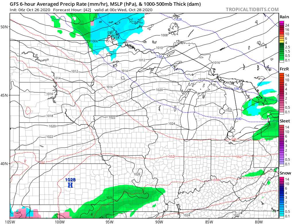
Meanwhile, the weather pattern turns far less active, with drier skies prevailing. A disturbance north of the state may bring some light snow to northern Minnesota Tuesday, but otherwise much of the week brings mostly sunny skies.

Programming note
You can hear my live weather updates on Minnesota Public Radio at 7:48 a.m. Monday through Friday morning.