
Storm tracking further west
Go Deeper.
Create an account or log in to save stories.
Like this?
Thanks for liking this story! We have added it to a list of your favorite stories.


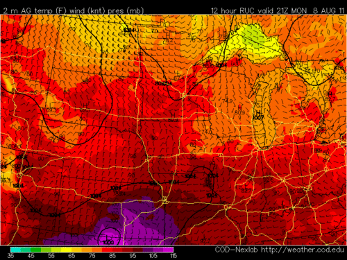
Surface pressure pattern and temperatures depicted by the Rapid Update Cycle model valid at 9pm.
The center of low pressure that was expected to track from eastern Kansas to eastern Minnesota today, now appears to be on a path that takes the center of the low even further west.
This results in a slight modification of the forecast. The heaviest snow of more than six inches remains likely in the Red River Valley, but the winds may not be as strong due to the close proximity of the low pressure center. However, when the storm center begins to pull away later tonight the winds will blow and drift the snow in the eastern Dakotas and western Minnesota.
For the Twin Cities there will be a quick-hitting burst of sleet and snow this afternoon. A strong push of drier air at mid levels of the atmosphere could choke off the precipitation this evening. Nonetheless, there may be enough snow and sleet to ice up the roadways this afternoon and early evening.
CE
Turn Up Your Support
MPR News helps you turn down the noise and build shared understanding. Turn up your support for this public resource and keep trusted journalism accessible to all.

