
Clouds halt radiational cooling; moderating temperatures Wednesday
Go Deeper.
Create an account or log in to save stories.
Like this?
Thanks for liking this story! We have added it to a list of your favorite stories.


An area of mid-level clouds moved across northern Minnesota overnight, putting a blanket on the cooling landscape. Temperatures that were expected to drop below zero from International Falls to Virginia dipped only to around 10 degrees.
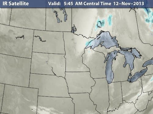
Some of the coldest temperatures in the upper Midwest this morning were observed in southwest Minnesota. Pipestone checked in with a mere 1 degree at 6 a.m.
Afternoon sunshine will help to take the mercury in the 20s and lower 30s today.

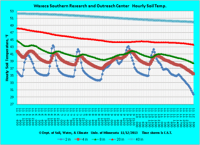
Soil temperatures are responding to the recent cold snap as well as the shorter daylight hours. The profile this morning from the Waseca research and outreach center in southern Minnesota shows the shallowest 2 inches of soil falling below freezing.
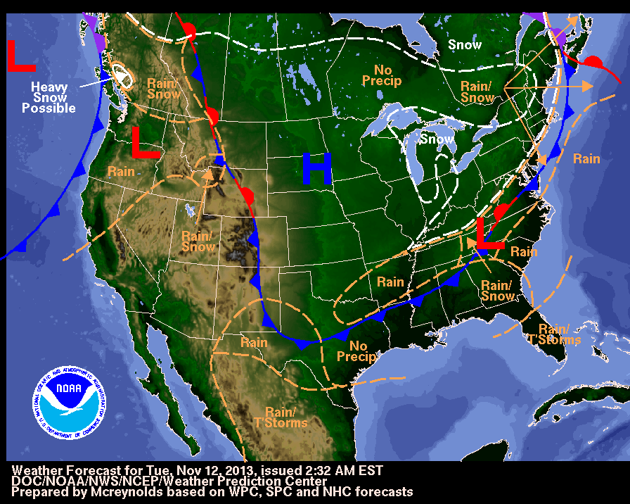
The national weather map indicates the high pressure over our region will move slowly east today, setting the stage for winds to become more from the southwest.
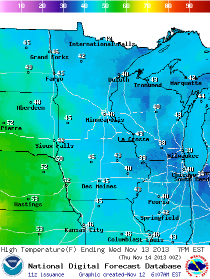
Moderating temperatures on Wednesday afternoon will be accompanied by a bump up in the wind speed. Somewhat milder temperatures, slightly above the season normals, may be chilled by a breeze.
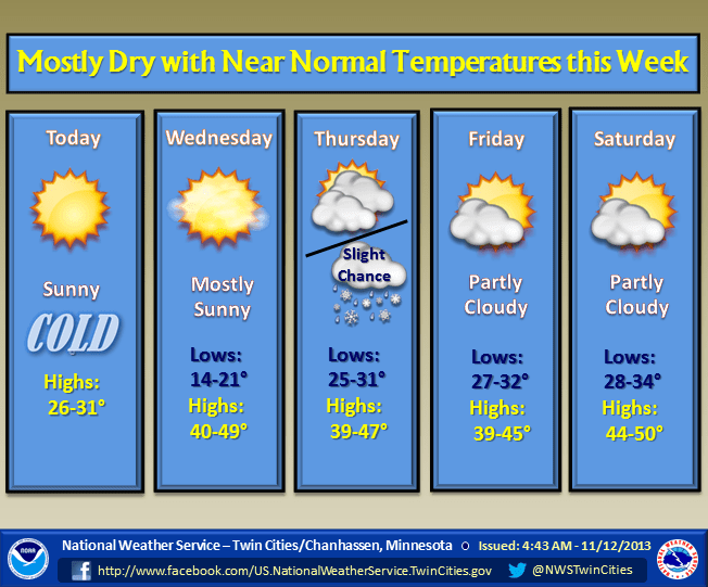
A big precipitation-producing storm is not seen in the short term. I lose faith in the model data beyond five days as we transition between autumn and winter.
Turn Up Your Support
MPR News helps you turn down the noise and build shared understanding. Turn up your support for this public resource and keep trusted journalism accessible to all.

