
September flashback
Go Deeper.
Create an account or log in to save stories.
Like this?
Thanks for liking this story! We have added it to a list of your favorite stories.


Through the first nine days of November, our average temperature in the Twin Cities is running almost 14 degrees warmer than normal.
I still have potted plants on my porch in St. Paul.
Our average high temperature is only 45 degrees on Nov. 10, but we could hit 65 degrees at Minneapolis-St. Paul International Airport this afternoon:
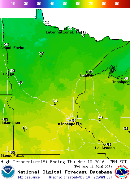
Temperatures in the 60s are expected over southern and central Minnesota, with some 50s in northern Minnesota.
Turn Up Your Support
MPR News helps you turn down the noise and build shared understanding. Turn up your support for this public resource and keep trusted journalism accessible to all.
Highs will be 10 to 15 degrees cooler on Friday.
Saturday highs will rebound a bit:
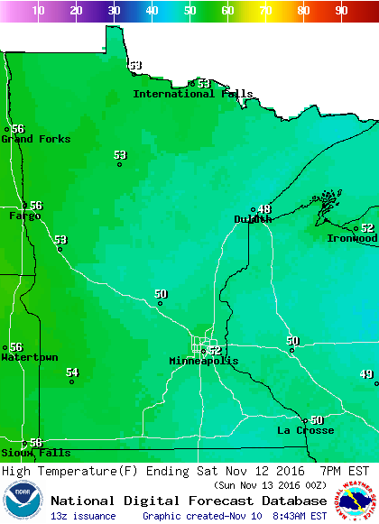
Highs in the 50s will be common this weekend, with some upper 40s possible over northeastern Minnesota.
No rain in sight
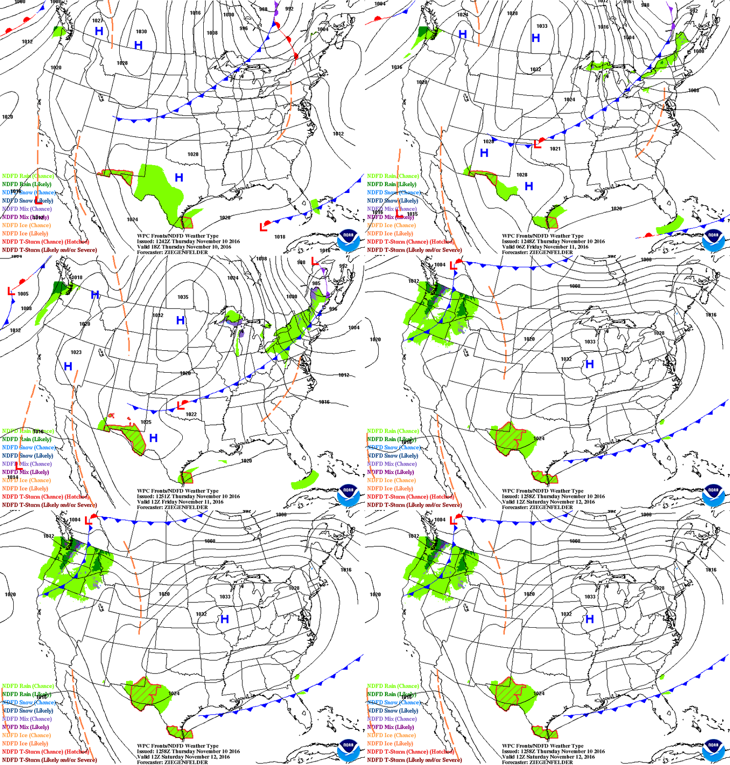
A cold front moves through later today, but rain is not expected. Dry high pressure will be with us from tomorrow into the weekend:
Thanks to generous rains this past summer and early autumn, we aren't seeing drought conditions in Minnesota.
Here is the latest U.S. drought depiction, released today by U.S. Drought Monitor:

Extreme drought conditions continue over much of California.
Final 60?
Today's high temperature will be about 20 degrees above normal in the Twin Cities.
Sixty-five degrees is the average high temp on Sept. 30 in the Twin Cities, so we can't expect to see this kind of warmth too many more times this year.
Here are the dates of our final 60 degree or warmer reading at Minneapolis-St. Paul International Airport over the past few years:
2015: Nov. 15
2014: Oct. 27
2013: Oct. 13
We should savor the September-ish warmth this afternoon!

