Winter storm brings snowy start to December across southern Minnesota
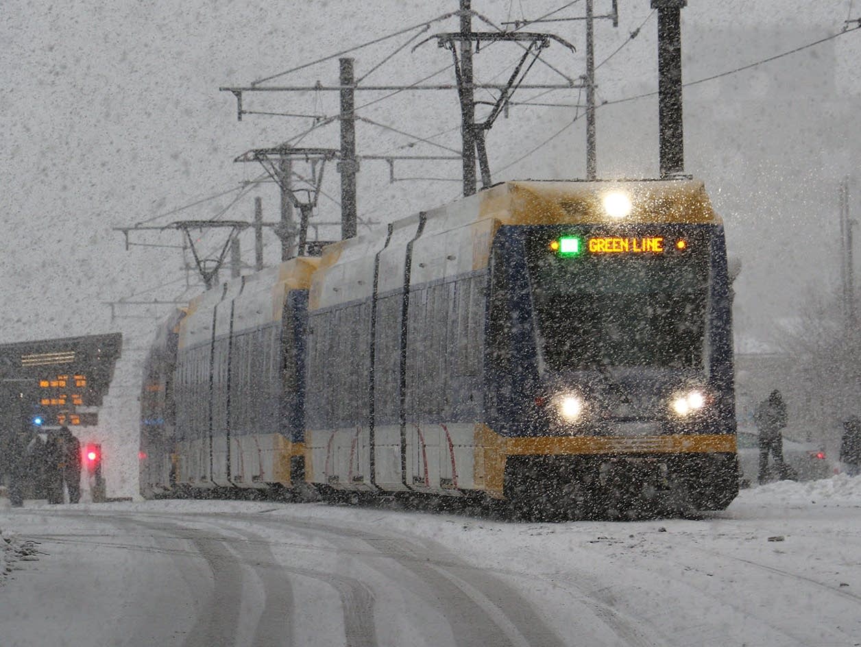
December is getting off to a snowy start across much of southern Minnesota on Saturday as a winter storm moves across the region.
Winter storm warnings and winter weather advisories remain in effect for the southern third of the state through Sunday morning.
The National Weather Service is forecasting total snowfall of 5 to 10 inches in the warning area, which includes Red Wing, Rochester, Albert Lea, Owatonna, Mankato, Fairmont and Worthington.
To the north, snowfall of 2 to 6 inches is expected for the Twin Cities, New Ulm and Redwood Falls. In the Twin Cities metro area, MPR meteorologist Ron Trenda reported, "the far southern part of the metro could end up with 4 to 6 inches of snow, while the far north metro (northern Anoka County) only sees an inch or two."
Create a More Connected Minnesota
MPR News is your trusted resource for the news you need. With your support, MPR News brings accessible, courageous journalism and authentic conversation to everyone - free of paywalls and barriers. Your gift makes a difference.
Snowfall reports through mid-afternoon included 3 inches at Mankato and Faribault.
The Minnesota Department of Transportation reports slow-going on Twin Cities freeways, with authorities responding to many crashes and spinouts. As of 4 p.m., jackknifed semis were reported along U.S. Highway 52 near Zumbrota, and along Interstate 90 near Adrian.
Find weather updates on MPR's live weather blog and the Updraft blog.