
Strong thunderstorms for southern Minn. into Monday night
Go Deeper.
Create an account or log in to save stories.
Like this?
Thanks for liking this story! We have added it to a list of your favorite stories.


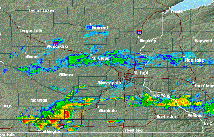
Strong thunderstorms blew up in southern Minnesota early this Monday afternoon and have been growing rapidly.
The National Weather Service has begun issuing severe thunderstorm warnings based mainly on radar indications from the dual-pol Doppler radar.
The yellow boxes indicate the warned areas as the storms race eastward. Click here to continue to track these dangerous storms.
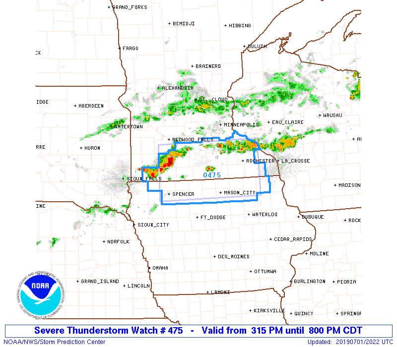
The Storm Prediction Center has issued a severe thunderstorm watch until 8 p.m. Monday evening for much of southern Minnesota south of the Twin Cites metro area. Strong to scattered severe thunderstorms are possible in and near the watch area. The primary hazard will be damaging winds.
Turn Up Your Support
MPR News helps you turn down the noise and build shared understanding. Turn up your support for this public resource and keep trusted journalism accessible to all.
Possible flooding
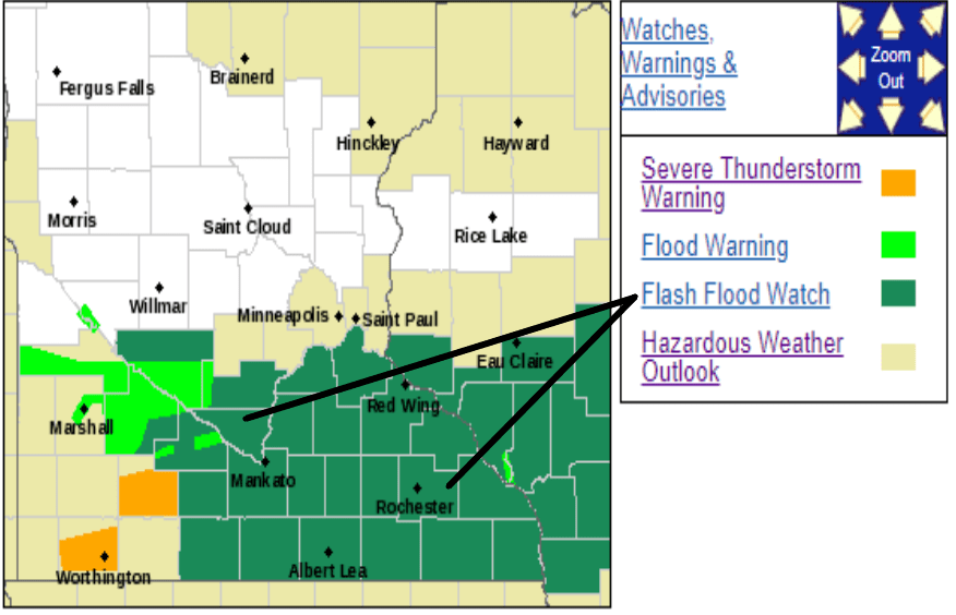
The thunderstorms in southern Minnesota are training and tracking over soggy ground due to recent heavy rain. Some locations could pick up 2 to 4 inches of rain.
Localized flooding is possible in low-lying areas and along rivers and streams, especially along the Minnesota River and its tributaries.
Storms on the Fourth?
Tuesday will be warmer and dry except for maybe a few showers in the northwest corner.
Wednesday might see isolated showers.
Thursday looks thunderstormy for Independence Day. But there is a good chance that storms will clear before fireworks time.

