
Relatively quiet weather to start 2020, with only minor snow chances through the weekend
Northern Minnesota sees light snow Wednesday
Go Deeper.
Create an account or log in to save stories.
Like this?
Thanks for liking this story! We have added it to a list of your favorite stories.


Happy New Year! 2020 is starting off with the return of mild temperatures and light snow for northern Minnesota. Snow is possible for the entire state by Friday.
Wednesday’s weather
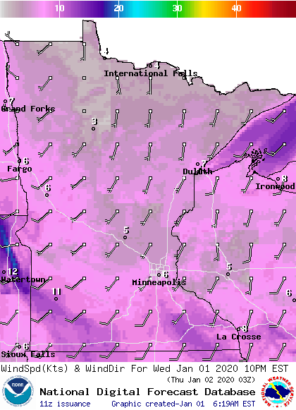
Temperatures bounce back above average on Wednesday, after the more seasonable temperatures Tuesday. This is helped in part by light winds from the south drawing in milder air.
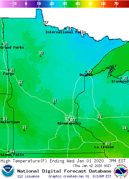
Highs will be in the 30s for most of the state.
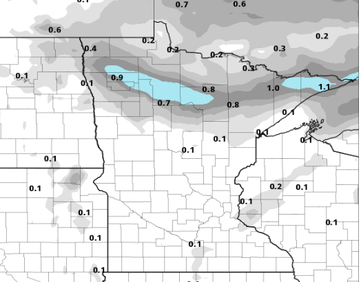
A weak area of low pressure skirting north of Minnesota will bring light snow to the northern part of the state starting by late Wednesday morning through Thursday afternoon. Most of the snow totals should remain under 1 inch, with a couple of isolated reports possibly up to 2 or 3 inches.
Turn Up Your Support
MPR News helps you turn down the noise and build shared understanding. Turn up your support for this public resource and keep trusted journalism accessible to all.
Because temperatures will be mild and stay mild overnight Wednesday, there is a slight chance for light freezing rain to mix in.
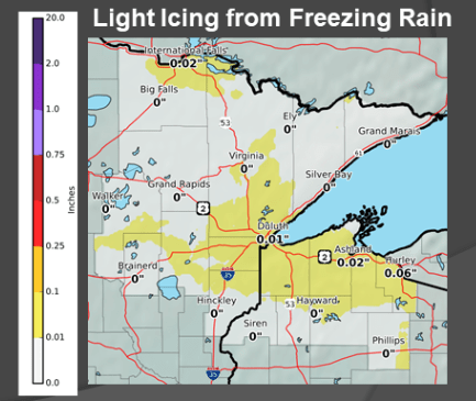
Be careful on the roads, especially Thursday morning.
Outside of areas seeing snow, most of Minnesota will see some breaks of sunshine during the day Wednesday.
More light snow chances
Another disturbance moves across Minnesota Friday, bringing a spotty chance for snow to most of the state.
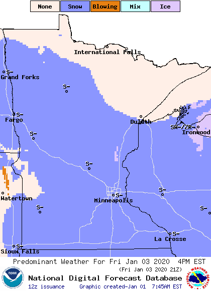
Most places will see 1 inch or less. This is one forecast model (NGM) for Friday that shows the high-end possibility for snow totals:
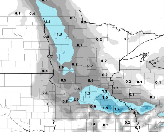
Yet another disturbance brings the state slight snow chances Sunday, especially northern Minnesota. All these little snow chances would be light snow. We will be relatively quiet in the week ahead, with no major snowstorms on the horizon.
Temperatures
The same system that skirts north of Minnesota, bringing snow to the northern part of the state, will bring a weak cold front across the state on Thursday. This keeps temperatures fairly steady for most of the state Thursday morning, and will cause some parts of the state to see falling temperatures by Thursday afternoon.
High temperatures behind this are slightly cooler for Friday and Saturday, in the 20s, which is closer to average for early January.
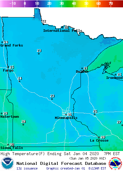
By the middle of next week, cooler air could put us slightly below average.
Programming note
You can hear my live weather updates on MPR News at 7:48 a.m. Monday through Friday morning.

