
Thursday brings more clouds and light snow
Temperatures stay seasonable
Go Deeper.
Create an account or log in to save stories.
Like this?
Thanks for liking this story! We have added it to a list of your favorite stories.


Wednesday’s sunny skies are being replaced by increasing clouds and light snow moving across the state Thursday.
Thursday forecast
A weak area of low pressure is moving across Minnesota, increasing clouds and bringing flurries and light snow. Some of the very light moisture is already starting to move into the Red River Valley, as shown on the radar as of 7:04 a.m.:

The light snow will slowly spread its way across the state Thursday, not making it to the Twin Cities until Thursday night.
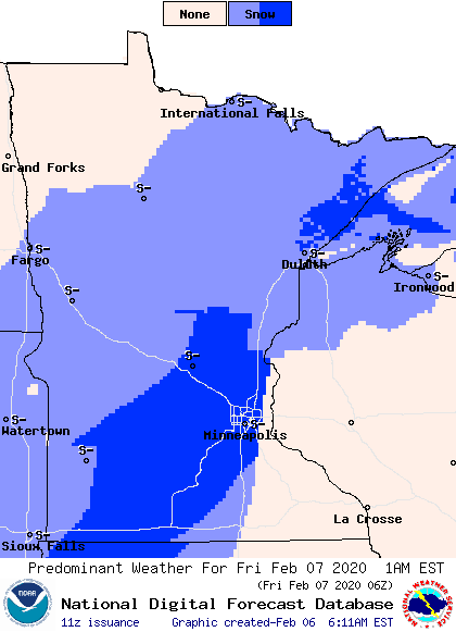
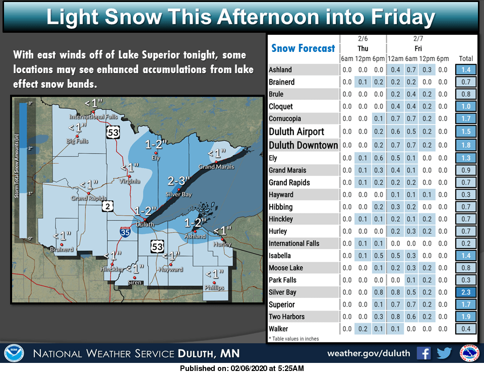
Between Thursday and when the snow moves out Friday, most of the state will see an inch or less of snow. The Arrowhead could see slightly higher amounts due to lake enhancement.
Almost everyone will see highs in the 20s Thursday, but northeastern Minnesota will only make it into the teens as the weather system draws in slightly cooler air.
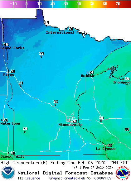
This actually keeps us very close to average highs across the state.
A much more potent snowstorm is targeting Minnesota over the weekend. That extended forecast will be updated around 9 a.m.
Programming note
You can hear my live weather updates on Minnesota Public Radio at 7:48 a.m. Monday through Friday morning.
Turn Up Your Support
MPR News helps you turn down the noise and build shared understanding. Turn up your support for this public resource and keep trusted journalism accessible to all.

