
Wet weather returns over the holiday weekend
Temperatures remain warm, with more places seeing their first 80s
Go Deeper.
Create an account or log in to save stories.
Like this?
Thanks for liking this story! We have added it to a list of your favorite stories.


Minnesota stays dry and keeps a mix of sun and clouds through Thursday evening, then showers and storms move in and bring rain chances through the holiday weekend.
While temperatures stay above average for most of the state the rest of the week, the warmest temperatures since last weekend have been in northwestern Minnesota.
This included a few 80s right along the Canadian border on Tuesday for towns including Hallock (KHCO on the map below), Roseau (KROX), and Baudette (KBDE).
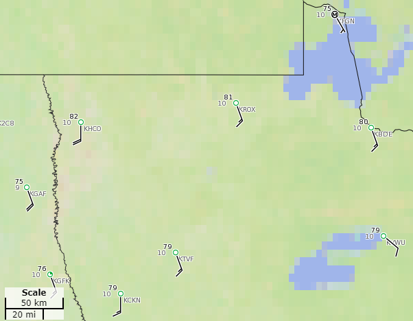
Other than southwestern Minnesota seeing 80s earlier in May, the rest of Minnesota is late to see the first 80s of the year. So, it’s unusual that northern Minnesota has now seen its first 80s of 2020 even before southern spots like the Twin Cities and Rochester.
Turn Up Your Support
MPR News helps you turn down the noise and build shared understanding. Turn up your support for this public resource and keep trusted journalism accessible to all.
Wednesday and Thursday
Wednesday morning clouds will give way to more afternoon sunshine, warming most of the state into the 70s, with the very northern edge of Minnesota likely to see a couple 80s again.
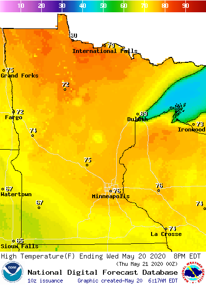
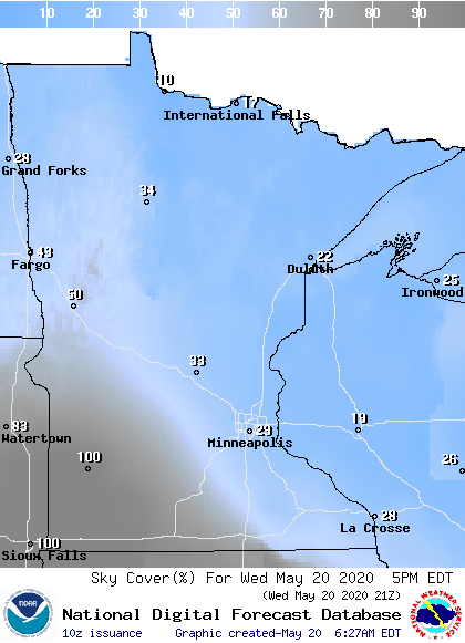
The southwestern edge of the state is likely to see lingering clouds, so highs may only make it into the 60s there.
Most of the state sees lighter winds Wednesday, except northwestern Minnesota, where it will be windy again in the afternoon, with gusts over 30 mph.
Thursday also brings a mix of sunshine and clouds, with highs predominantly in the 70s. The dry stretch ends by Thursday evening, when showers start pushing into western Minnesota.
Warm and active weather through the holiday
The showers and storms that move in Thursday become more widespread across the state on Friday.
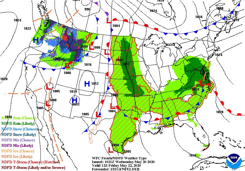
Occasional showers and storms remain possible through the holiday weekend, but it will not be a washout like southern Minnesota saw this past weekend.
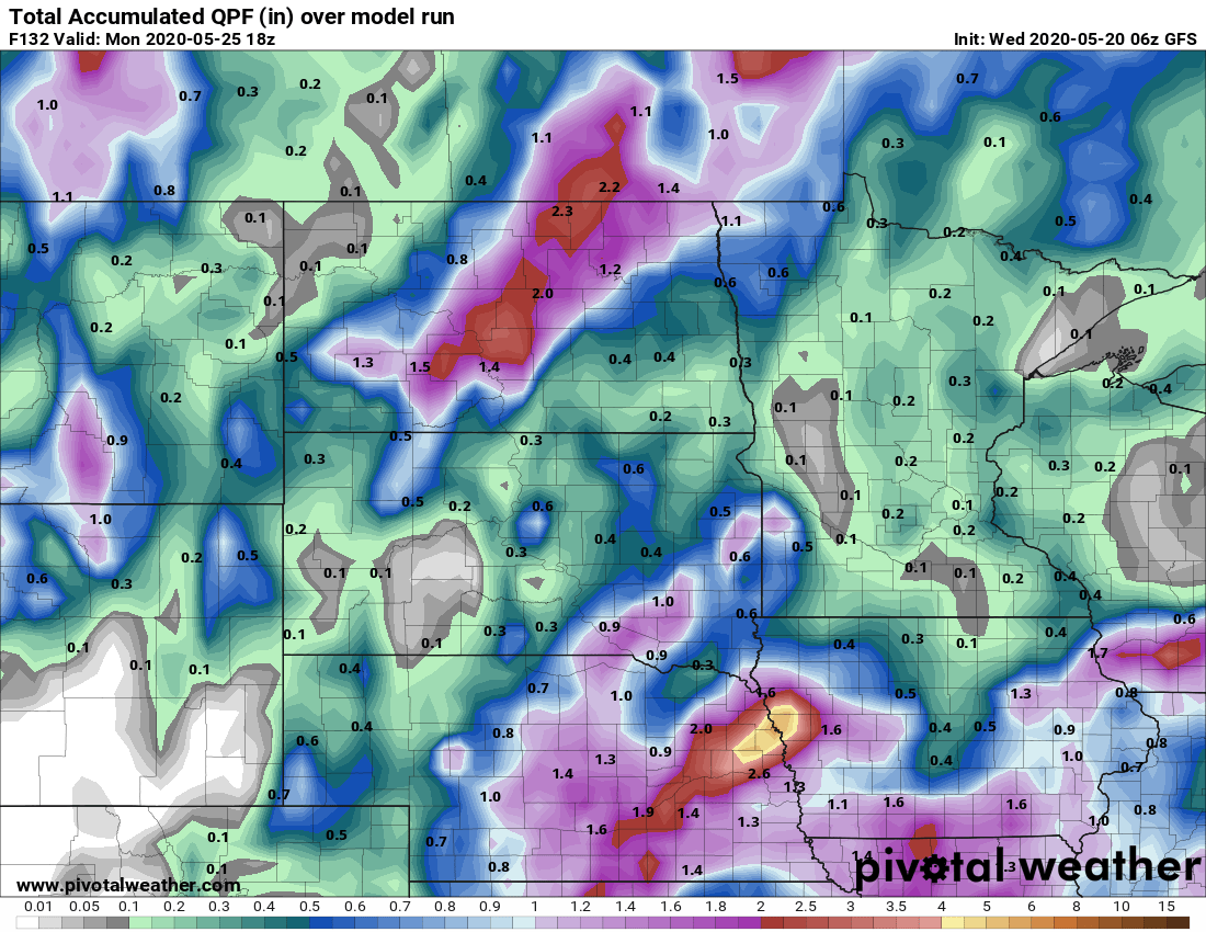
Currently, it looks like most of the rain totals through Monday would be less than one-half inch, with western Minnesota possibly seeing higher totals.
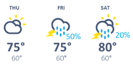
Temperatures remain warm, with highs mostly in the 70s. A few more parts of Minnesota, including the Twin Cities, may finally have a chance to hit 80 by Saturday.
Programming note
You can hear my live weather updates on Minnesota Public Radio at 7:48 a.m. Monday through Friday morning.

