Warm, dry sunshine Tuesday; unsettled beginning Wednesday
Go Deeper.
Create an account or log in to save stories.
Like this?
Thanks for liking this story! We have added it to a list of your favorite stories.


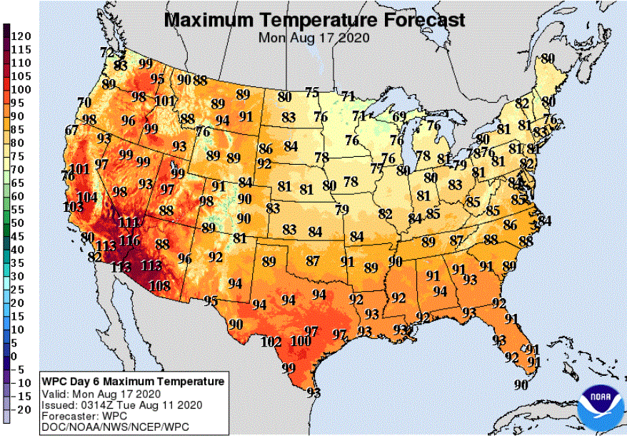
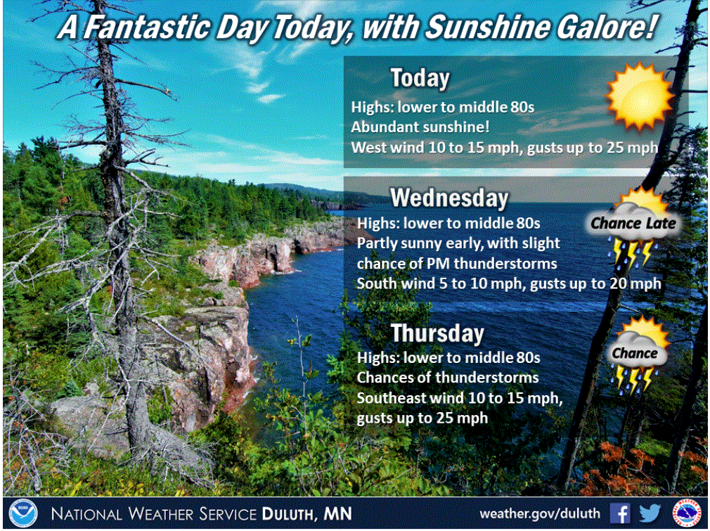
The delightful dry high pressure that built into Minnesota on Monday is hanging around for Tuesday. August sunshine will push high temperatures into the 80s statewide.
The Twin Cities will warm to about 85 degrees by late afternoon with a southwest breeze of 10-15 mph. Enjoy comfy dew points in the 50s to low 60s.
Unsettled weather coming
Unsettled weather will begin to slide from the Dakotas into Minnesota Tuesday night. Scattered thunderstorms are likely in southwestern Minnesota Tuesday night and Wednesday morning. A few isolated to scattered showers and thunderstorms could pop up around the state with the heating of the day.
Clouds should hold the temperatures down a few degrees for Wednesday.
Turn Up Your Support
MPR News helps you turn down the noise and build shared understanding. Turn up your support for this public resource and keep trusted journalism accessible to all.
Humidity will return
The mugginess factor will become notable as dew points climb on Thursday and especially on Friday.
Thunderstorms likely later in the week
Increasing instability will spread more thunderstorms out of the Dakotas and into Minnesota on Thursday and Friday.
Severe thunderstorms are possible on Thursday in western Minnesota. A marginal risk of severe weather has been posted for much of the western edge of the state while the next higher level of risk, a slight risk, has been posted for the northwestern corner.
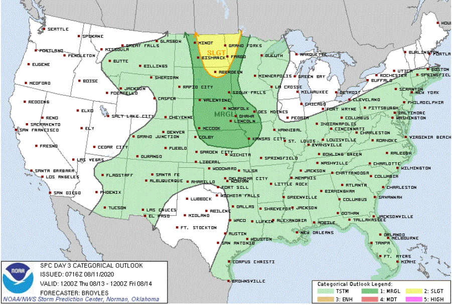
The greatest chance of severe storms is likely to develop on Friday as a cold front crosses the state and plows into the muggy air.
A mixed weekend outlook
Some showers and storms might hang around on Saturday and maybe into early Sunday before drier air arrives.
Cooler and dry early next week
Look for a lot of high temperatures in the 70s along with dry dew points by early next week.