
Warm through Thursday, then cooler again
Winds stay gusty through the day Wednesday
Go Deeper.
Create an account or log in to save stories.
Like this?
Thanks for liking this story! We have added it to a list of your favorite stories.


Temperatures stay mild Wednesday and Thursday then stick closer to average through the weekend. Meanwhile, precipitation chances remain limited.
Wednesday’s forecast
By Tuesday afternoon, winds across Minnesota started to shift to a more southerly component, and they became breezier overnight.
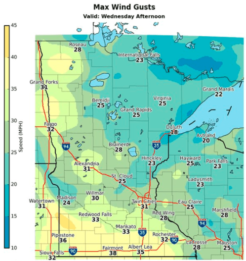
For the rest of the day Wednesday, winds pick up even more, with most of the state seeing gusts over 20 or 30 mph by afternoon.
That warm wind flow from the south is drawing in milder weather. Wednesday morning’s temperatures in the 20s and 30s were noticeable warmer than the chilly start on Tuesday.
Turn Up Your Support
MPR News helps you turn down the noise and build shared understanding. Turn up your support for this public resource and keep trusted journalism accessible to all.
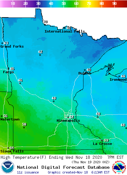
Highs in the 40s and 50s put most of the state about 10 degrees above average, and the southwestern corner of the state will flirt with 60.
Skies remain dry, with a mix of sunshine and clouds. Northern Minnesota especially could see mostly cloudy skies in the afternoon.
Temperatures turn seasonable
Most of the state remains warm Thursday, with highs predominantly in the 40s and 50s again.
However, a cold front starts passing through the state that already puts northern Minnesota back in the 30s Thursday, then all of Minnesota turns cooler Friday, ranging from the upper 20s north to low 40s south.
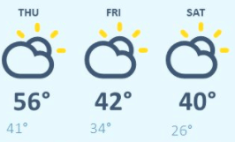
Those highs are right about average for this time of year, and the seasonable temperatures linger through the weekend.
It also looks like highs much of next week stays close to average.
Spotty precipitation
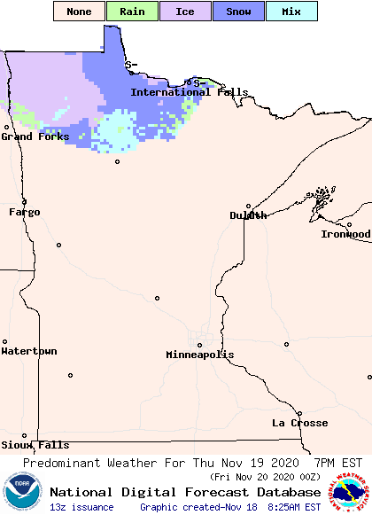
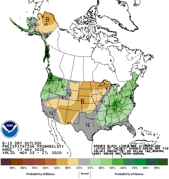
Chances for wet weather remain limited through next week. The same front responsible for the colder air Friday is expected to bring a light wintry mix to northern Minnesota from Thursday evening through the overnight.
Another storm impacts the state over the weekend. The brunt of that system now looks like it should stay south of Minnesota, but light rain and snow are still possible, especially Saturday evening into Sunday morning.
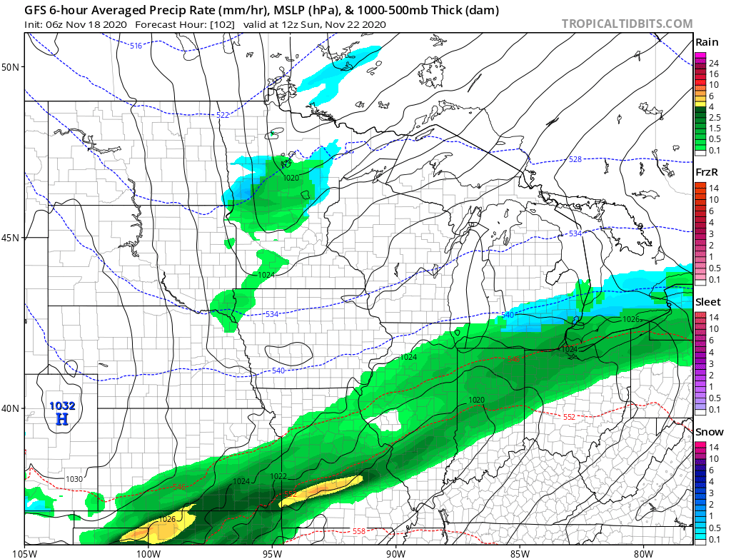
Neither system is expected to generate significant accumulation.
Next week is also likely to stay drier than average, with no major storms currently in the forecast.
Programming note
You can hear my live weather updates on Minnesota Public Radio at 7:48 a.m. Monday through Friday morning.

