
Cooler and cloudier for Friday
Southeastern Minnesota may see light snow
Go Deeper.
Create an account or log in to save stories.
Like this?
Thanks for liking this story! We have added it to a list of your favorite stories.


Despite a mild morning, temperatures rise little across Minnesota Friday under mostly cloudy skies.
Friday’s forecast
Even behind a weak cold front that moved through Minnesota Thursday and winds from the north, the state is starting off very mild Friday morning. Most places are seeing low temperatures from the mid-20s to lower 30s. A big reason for temperatures not dropping much overnight was the widespread cloud cover across the state.
Those clouds linger through the day, and along with the cooler wind flow, temperatures rise little, putting highs only in the 20s north and 30s for central and southern Minnesota.
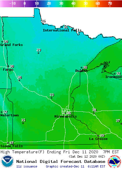
This is still a few degrees above average for mid-December, but it is noticeably cooler than the recent warm weather.
While most of the state stays dry, a strong storm clipping southeast of Minnesota could bring light snow or flurries to the southeastern edge of the state from Friday evening into Saturday morning.
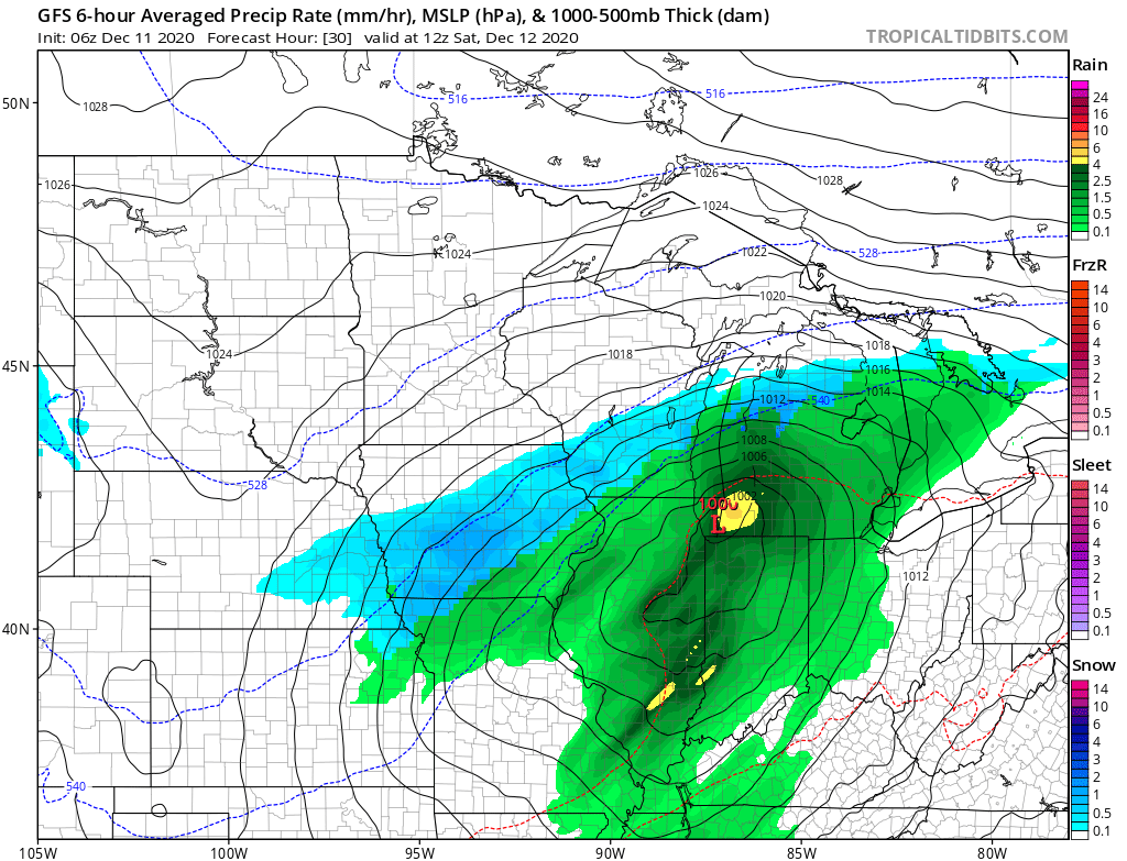
Another system brings a light snow chance to northern Minnesota over the weekend and drops temperatures even more for the start of next week. That extended forecast will be updated around 9 a.m.
Programming note
You can hear my live weather updates on Minnesota Public Radio at 7:48 a.m. Monday through Friday morning.
Turn Up Your Support
MPR News helps you turn down the noise and build shared understanding. Turn up your support for this public resource and keep trusted journalism accessible to all.

