
Monday morning brings both fog and light snow
Temperatures stay very mild for this time of year
Go Deeper.
Create an account or log in to save stories.
Like this?
Thanks for liking this story! We have added it to a list of your favorite stories.


Fog is reducing visibilities again Monday morning, but more sunshine prevails by late afternoon, and the entire day stays mild.
Monday’s forecast
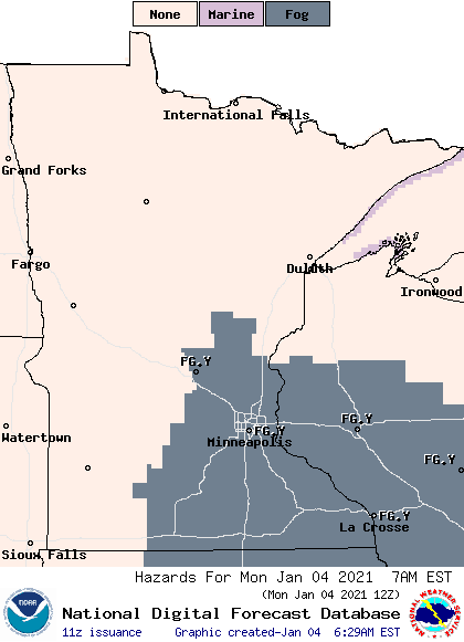
Much like the past few mornings, Minnesota is beginning the day with areas of fog Monday, with the thickest of it in the southeastern corner of the state. That area is under a dense fog advisory until 9 a.m., and it does include some freezing fog, so be aware that there could be a few slick spots on the roads.
Morning temperatures are mild for January, mostly in the 20s, with a few 30s northwest.
Skies throughout the state are starting off cloudy, and there is a minor disturbance moving across Minnesota bringing light snow and flurries in the morning hours. Light freezing rain may also mix in, creating slick areas. As that clears through, skies begin to clear west to east in the afternoon, returning more sunshine to the state.
Temps rise into the 30s for almost the entire state by Monday afternoon, putting temperatures 10 to 20 degrees above average for early January.
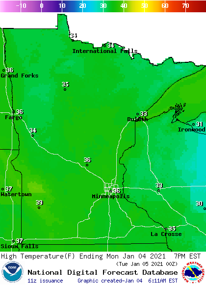
This makes it the warmest day of the week for most of the state. The rest of the week remains mild and precipitation stays limited. That extended forecast will be updated around 9 a.m.
Programming note
You can hear my live weather updates on Minnesota Public Radio at 7:48 a.m. Monday through Friday morning.
Turn Up Your Support
MPR News helps you turn down the noise and build shared understanding. Turn up your support for this public resource and keep trusted journalism accessible to all.

