Wet and gray weather for Monday
Northeastern Minnesota may see snow and ice
Go Deeper.
Create an account or log in to save stories.
Like this?
Thanks for liking this story! We have added it to a list of your favorite stories.


Monday stays cloudy and rainy throughout the day, with a large temperature contrast across the state.
Monday’s forecast
A stationary front that will bring a much wetter pattern to Minnesota for the next few days is also responsible for the return of milder weather in southern Minnesota, following a chilly weekend.
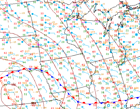
A southerly flow thanks to that front has morning temperatures in the 40s for the Twin Cities and southward, while the rest of the state is starting Monday in the 30s.
The big contrast comes in the afternoon, where temperatures rise little for little in northern Minnesota, with chilly highs only in the 30s and 40s. Meanwhile, the warmer pattern south puts the southern edge of the state in the 60s and 70s.
Turn Up Your Support
MPR News helps you turn down the noise and build shared understanding. Turn up your support for this public resource and keep trusted journalism accessible to all.
Scattered rain showers continue all day, with a couple thunderstorms likely in the afternoon. Because of the chilly weather north, some snow and freezing rain could mix in for the Arrowhead through the morning hours, putting much of the area under a winter weather advisory until noon.
While the showers persist all day across the state, the more stubborn rain band Monday morning is over central Minnesota, and that is expected to shift north by the afternoon.
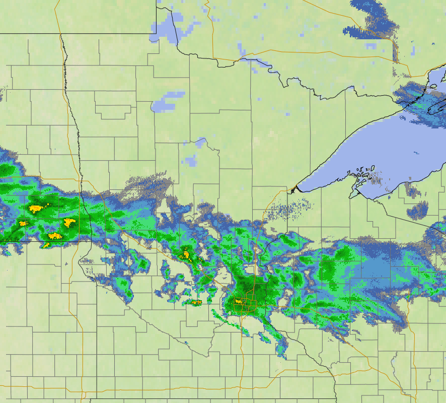
The rainy pattern continues through midweek and brings a slight severe weather risk on Tuesday.
That extended forecast will be updated around 9 a.m.
Programming note
You can hear my live weather updates on Minnesota Public Radio at 7:49 a.m. Monday through Friday morning.