
Parts of Minnesota see highs in the 80's by Saturday
Sunnier skies make a comeback
Go Deeper.
Create an account or log in to save stories.
Like this?
Thanks for liking this story! We have added it to a list of your favorite stories.


More sunshine spreads across Minnesota Wednesday, and much warmer weather returns by Saturday. Next week starts off with a wetter pattern again.
Wednesday’s forecast
The stationary front that has plagued Minnesota, especially the southern half of the state, with more clouds and rain the past few days has finally moved off. Southern Minnesota sees cloudier skies during the morning, and maybe an isolated sprinkle, but more sunshine finally returns by the afternoon.
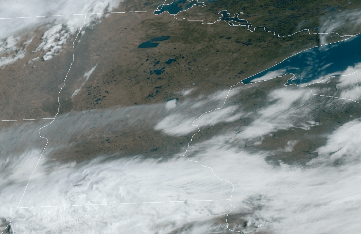
Because of the clear skies in northern and central Minnesota, morning temperatures dropped into the 30s and 20s, while the southern edge of the state stayed in the upper 30s and low 40s thanks to the cloud cover.
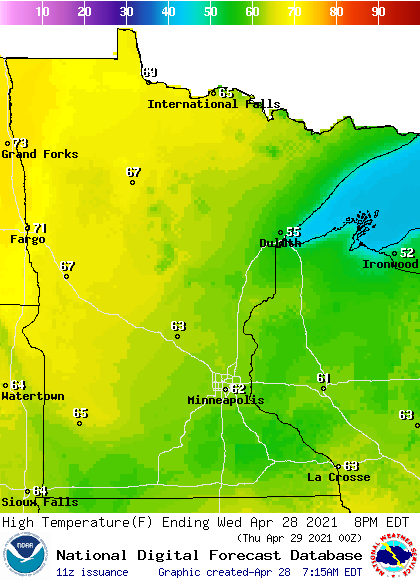
The reverse pattern happens in the afternoon, where, because clouds linger longer, southern Minnesota only makes it into the lower 60s. Northern Minnesota sees more sun, plus the northwestern corner of the state gets a southerly flow ahead of a cold front, which could push a few temperatures into the 70s.
Turn Up Your Support
MPR News helps you turn down the noise and build shared understanding. Turn up your support for this public resource and keep trusted journalism accessible to all.
Cold front impacts
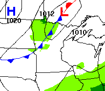
A cold front starts pushing into northern Minnesota late Wednesday, clearing out through the southern edge of the state by Thursday morning. As it moves through, light rain is likely north overnight, and even southern Minnesota could get a sprinkle early Thursday.
What will be most noticeable is northern Minnesota turns slightly cooler again Thursday with 50s north, while 60s remain south. It will also be breezy, with gusts over 20mph at times, which makes it feel a little chiller.
Extended forecast
The final day of April brings mostly sunny skies, and seasonable warmth, with almost all of Minnesota in the 60s Friday, and a couple 70s southwest.
Temperatures soar Saturday, putting most of the state in the 70s and southern Minnesota sees a few 80s.
By Sunday, the pattern starts to turn wetter again, with scattered chances for showers and occasional storms back in the forecast through mid-week.
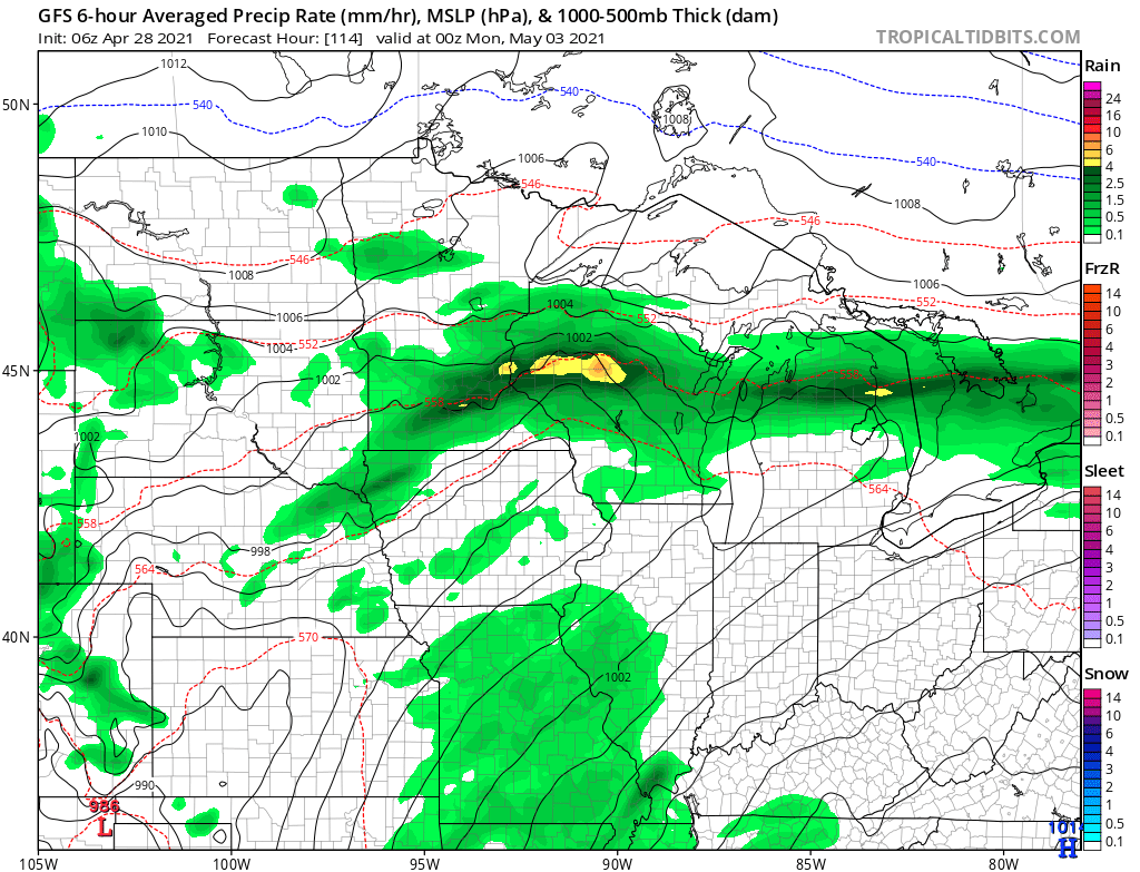
That already drops temperatures somewhat on Sunday, back into the 60s and 70s. Here is that forecast for the Twin Cities through the weekend:
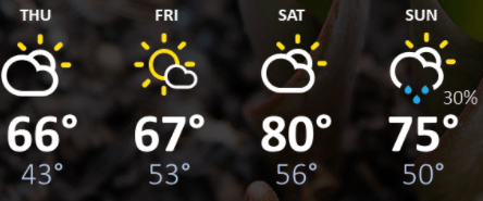
Those rain chances along with more clouds currently look likely through at least Wednesday.
Programming note
You can hear my live weather updates on Minnesota Public Radio at 7:49 a.m. Monday through Friday morning.

