
Twin Cities likely hits 80 Saturday for the 2nd time this year
Sunnier skies and warmer temperatures are on the way.
Go Deeper.
Create an account or log in to save stories.
Like this?
Thanks for liking this story! We have added it to a list of your favorite stories.


The forecast maps are looking good for Minnesotans who want more sunshine and warmer temperatures.
We’re still sifting through a sun-cloud mix today and Thursday across parts of Minnesota. But Friday and Saturday bring bright sunshine and springtime blue skies. Southwesterly breezes blow in much warmer air as we head into the weekend.
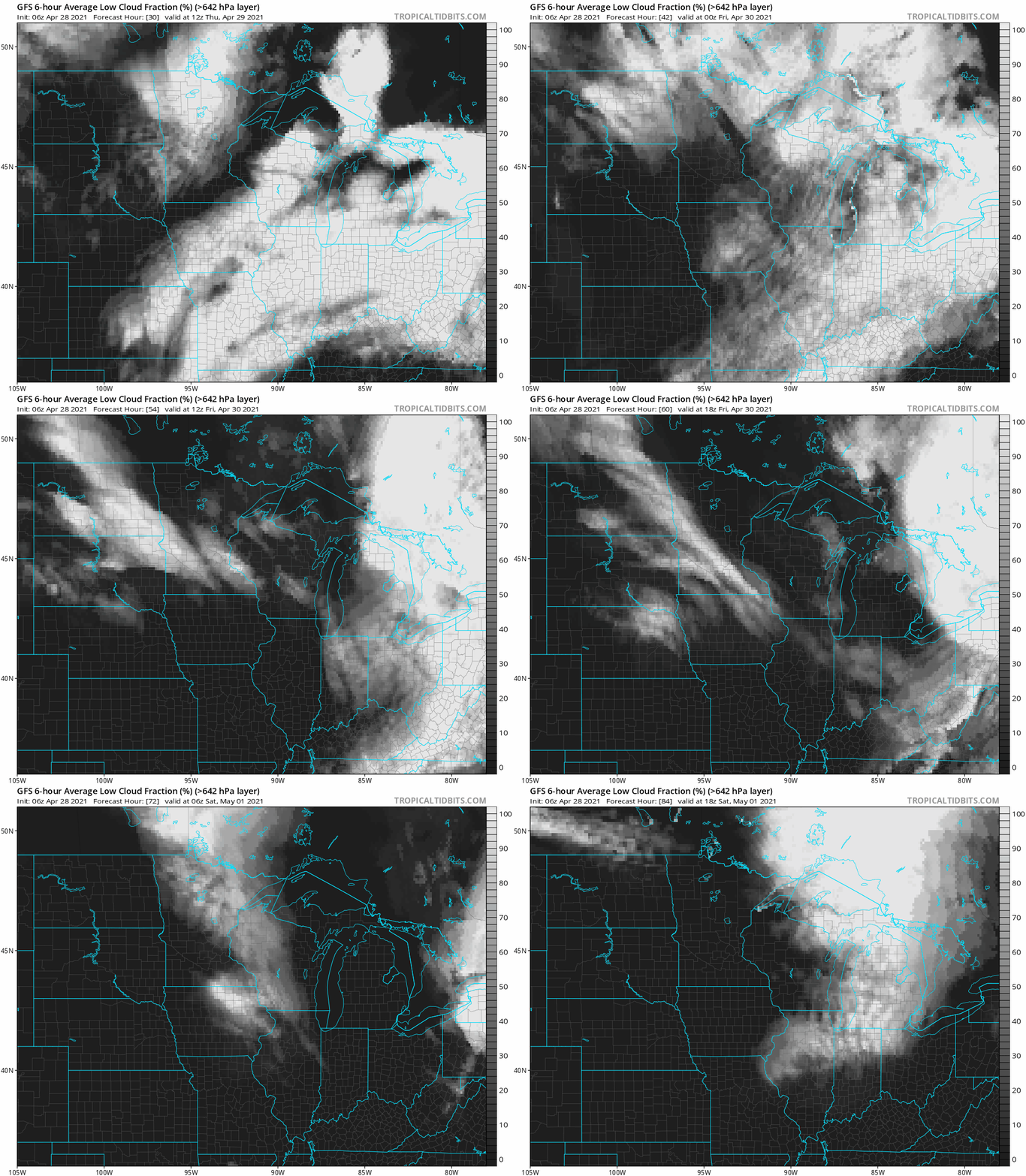
NOAA’s GFS model shows scattered low clouds Thursday giving way to increasing sunshine Friday and Saturday.
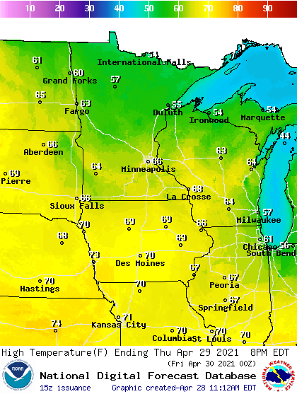
The combination of sunshine and a milder air mass pushes temperatures into the 60s Thursday afternoon.
Turn Up Your Support
MPR News helps you turn down the noise and build shared understanding. Turn up your support for this public resource and keep trusted journalism accessible to all.
By Friday, highs push past the 70-degree mark in southwest Minnesota. Note the heat building across the Dakotas.
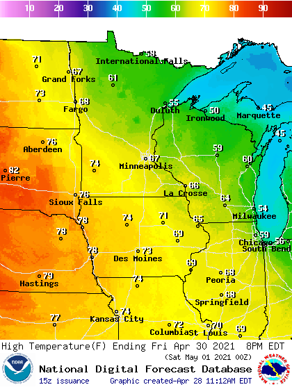
80 degrees likely Saturday
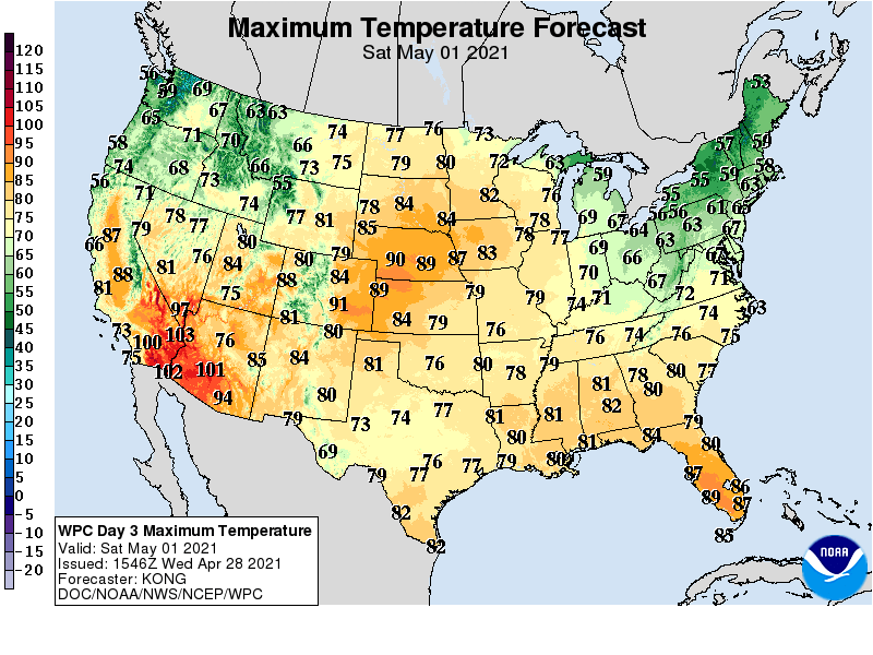
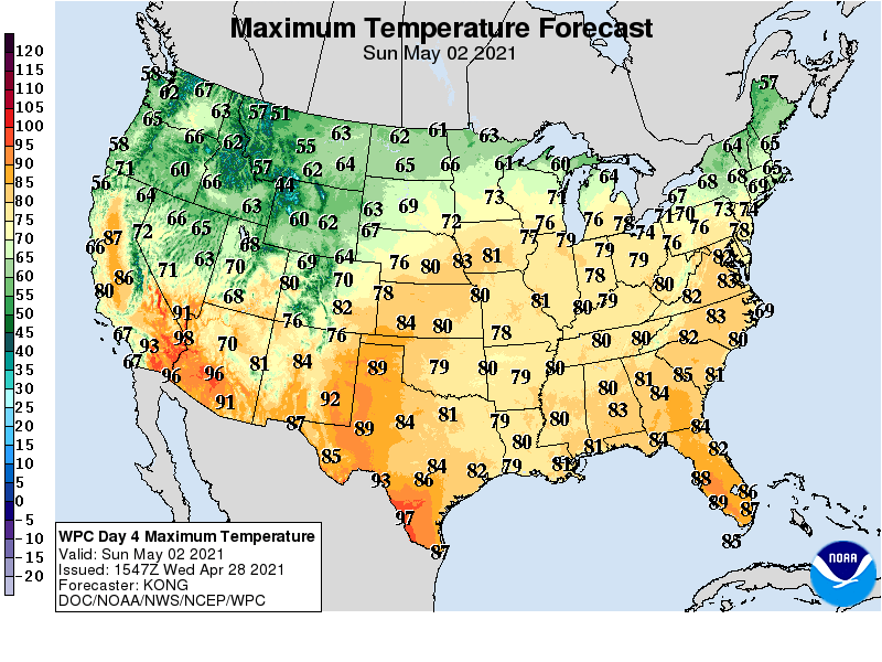
Our warm advection pattern peaks Saturday across Minnesota. Highs will push into the 80s across a good deal of southern Minnesota. The Twin Cities hit 85 degrees on April 5. Saturday looks like the second day of 80-degree temperatures this year. Highs in the 70s push all the way to the Canadian border. Cooler by Lake Superior as usual.
Sunday brings cooler air to northern Minnesota, but temperatures remain balmy across the south.
The average high and low in the Twin Cities this weekend are 65 and 44 degrees.

