
Showers decreasing; much drier weather coming
Go Deeper.
Create an account or log in to save stories.
Like this?
Thanks for liking this story! We have added it to a list of your favorite stories.


Overnight showers and thunderstorms across Minnesota are decreasing early Tuesday morning. Look for a scattering of thunderstorms to develop this afternoon in northeastern and southeastern portions of the state. Some storms could become strong or severe, especially over the northwestern half of Wisconsin.
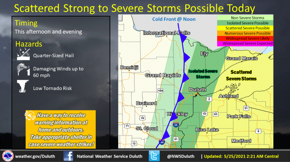
High temperatures Tuesday afternoon should range from the upper 70s in northeastern Minnesota to the mid-80s in the Twin Cities and the south. A cold front sweeping in from the west will bring falling temperatures to northwestern Minnesota on Tuesday and will bring all of us much drier air.
The Twin Cities should have a high temperature around 85. Dew points will fall from the mid- and upper 60s that have plagued us recently to the very comfy low 50s during the afternoon.
Wednesday will be the best day of the work week with sunshine, pleasant temperatures and low humidities. Highs will be mainly 50s in the north and 60s in central and southern sections.
Chilly rain will come our way on Thursday.
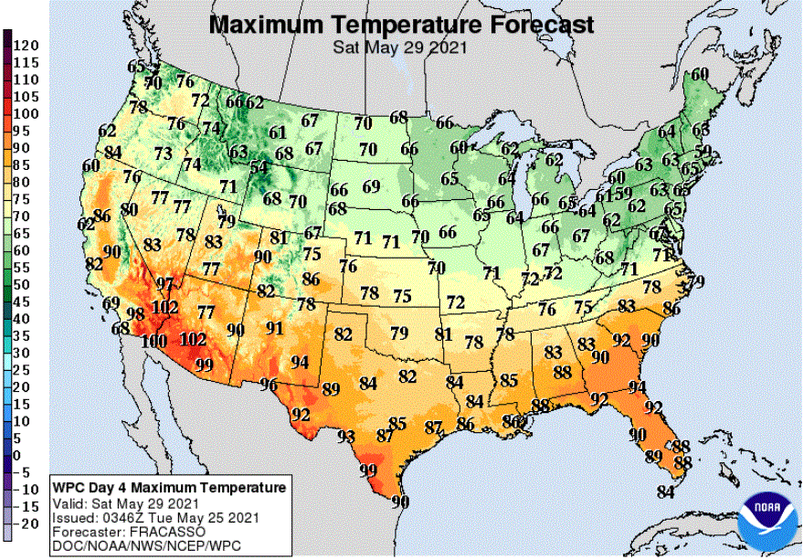
Temperatures will then warm gradually from Friday through the Memorial Day weekend. Spotty showers are possible each day.
Turn Up Your Support
MPR News helps you turn down the noise and build shared understanding. Turn up your support for this public resource and keep trusted journalism accessible to all.

