
Parts of Minnesota will hit the 90s Thursday
Northern Minnesota gets a little needed rain
Go Deeper.
Create an account or log in to save stories.
Like this?
Thanks for liking this story! We have added it to a list of your favorite stories.


The Thursday forecast brings even warmer weather, with a few portions of the state seeing scattered showers.
Thursday forecast
As daytime temperatures have risen recently, morning lows also continue to trend warmer, and Minnesota is starting off mild with 50s and 60s Thursday morning.
Highs will also run about 10 to 20 degrees above average, with most of the state in the 80s, but western Minnesota is likely to start seeing some 90s.

Much of Minnesota is starting the day with mostly clear and predominantly sunny skies. The big exception to that is in northern Minnesota, where a weather disturbance is bringing scattered showers.
Turn Up Your Support
MPR News helps you turn down the noise and build shared understanding. Turn up your support for this public resource and keep trusted journalism accessible to all.
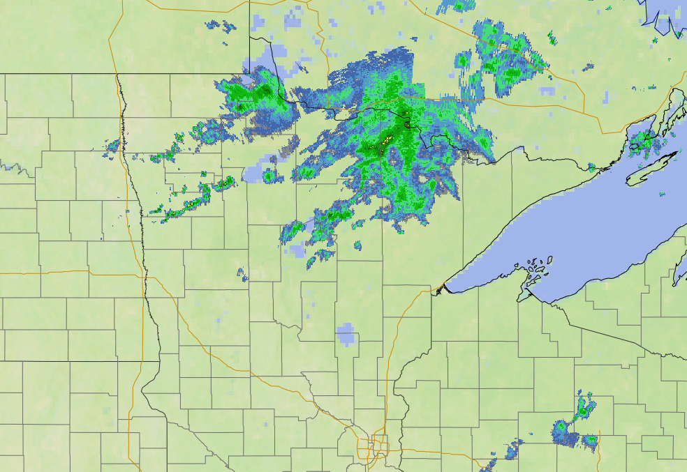
That area of wet weather tracks southeast during the day, bringing the eastern edge of the state a few showers and isolated storms into the afternoon and evening before clearing out late Thursday. This precipitation will most likely miss the Twin Cities, but if a sprinkle does make it toward the metro area, it would most likely be in the early evening.
Temperatures warm even more by Friday, elevating the fire risk and making portions of Minnesota probable to set record heat.
That extended forecast will be updated around 9 a.m.
Programming note
You can hear my live weather updates on Minnesota Public Radio at 7:49 a.m. Monday through Friday morning.

