
Rain returns to Minnesota Thursday
Cooler highs in the 60s possible next week
Go Deeper.
Create an account or log in to save stories.
Like this?
Thanks for liking this story! We have added it to a list of your favorite stories.


Seasonably warm weather continues through Wednesday, then a system that brings more rain to the state begins a trend of cooler temperatures.
Tuesday’s forecast
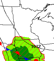
High pressure dominates the Minnesota weather pattern once more Tuesday, providing predominantly clear skies and light winds overnight.
Under those conditions, morning temperatures ranged from 40s north to a few 60s south. A few areas of fog developed again, primarily around the Arrowhead, but most of that fog has already lifted as of 9 a.m.
The one exception to the dry and sunny skies expected across the state is in southern Minnesota. A storm clipping to the south is bringing a few more clouds through the morning, and an isolated shower is possible right along the Iowa border.
Turn Up Your Support
MPR News helps you turn down the noise and build shared understanding. Turn up your support for this public resource and keep trusted journalism accessible to all.
Highs stay very close to average for the end of August, with most of the state in the mid-70s to low 80s.
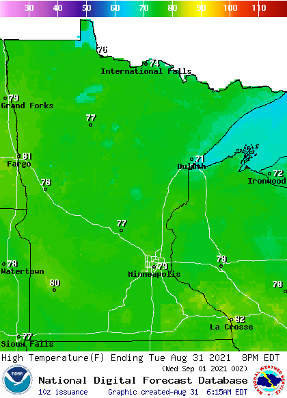
Extended forecast
Mild temperatures and mostly sunny skies continue Wednesday, with highs predominantly in the upper 70s and low 80s.
However, already by late Wednesday afternoon, more clouds start moving into western Minnesota, with showers in western Minnesota by Wednesday evening that spread across the state overnight.
Widespread showers and occasional storms are expected statewide Thursday, before diminishing Friday.
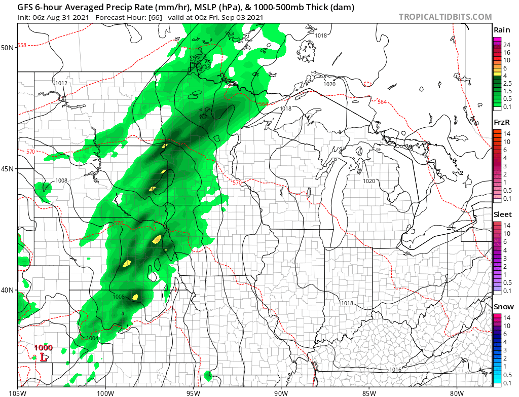
After that storm, it looks like the state turns somewhat drier than average again into next week. There will still be some chances for showers though, including Saturday, especially in northern Minnesota and for most of the state Monday and Tuesday.
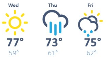
The additional cloud cover and rain late week decreases temperatures a couple degrees, with more of the state in the mid- to lower 70s by Thursday and into the weekend.
Here is the forecast for the Twin Cities showing that minor drop:
Next week could bring a taste of fall, with slightly below average temperatures expected.
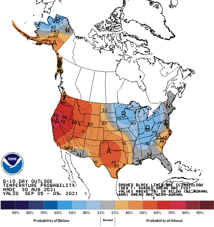
That may put highs for much of the state only in the 60s for a couple of days!
Programming note
You can hear my live weather updates on Minnesota Public Radio at 7:48 a.m. Monday through Friday morning.

