
Frosty Tuesday morning; warmer later this week
Go Deeper.
Create an account or log in to save stories.
Like this?
Thanks for liking this story! We have added it to a list of your favorite stories.


Canadian high pressure will continue to push cool air our way from the northwest. Meanwhile, clouds will build again on Tuesday thanks to cyclonic flow on the backside of low pressure over eastern Canada and a boost from solar heating.

After a frosty start, Tuesday afternoon will be a bit chillier than normal. High temperatures should range from the mid-30s in the north to the low 40s in the south. Scattered snow showers are likely again in northeastern Minnesota.
The Twin Cities should have increasing clouds and a high near 42 with a northwest wind of only around 10 mph.
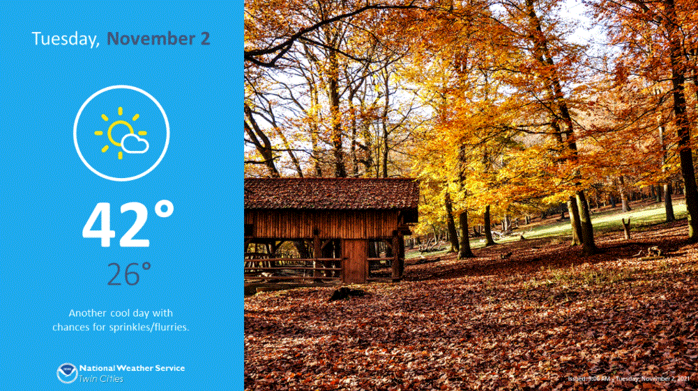
Wednesday will bring another frosty morning and another cooler-than-normal afternoon.
Warmup begins Thursday
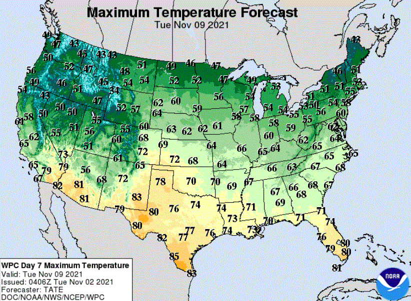
The warmup will begin on Thursday and build into the weekend. Saturday is likely to be the warmest day. Highs in much of the southern half of Minnesota should warm at least into the upper 50s with some spots likely touching 60 degrees.
Long-range forecast models continue that mild-for-November weather well into next week.
Turn Up Your Support
MPR News helps you turn down the noise and build shared understanding. Turn up your support for this public resource and keep trusted journalism accessible to all.

