Mild Tuesday, cold Thanksgiving Day; good travel weather
Go Deeper.
Create an account or log in to save stories.
Like this?
Thanks for liking this story! We have added it to a list of your favorite stories.


You might have noticed that we have not had many significant winter storms so far this season. The reason can be partially explained in two words: zonal flow.
Zonal flow is when the jet stream tracks generally west to east, following lines of latitude. Small-amplitude waves embedded in the jet stream often produce weak low-pressure systems or just cold fronts at the surface. Resulting precipitation is usually rather light. This is the pattern Minnesota and Wisconsin have had for most of November.
The generation of major winter storms across the central United States generally requires jet streams with large-amplitude loops covering many degrees of latitude. This is called meridional flow as the deep loops more closely follow the north-south meridians of longitude than the east-west parallels of latitude. Strong storm systems often form beneath the southwest-to-northeast portion of the looping jet. These large loops are able to pull up moisture from the Gulf of Mexico on the front side and drag in frigid air behind the storms. Heavy snow followed by strong winds can be the result.
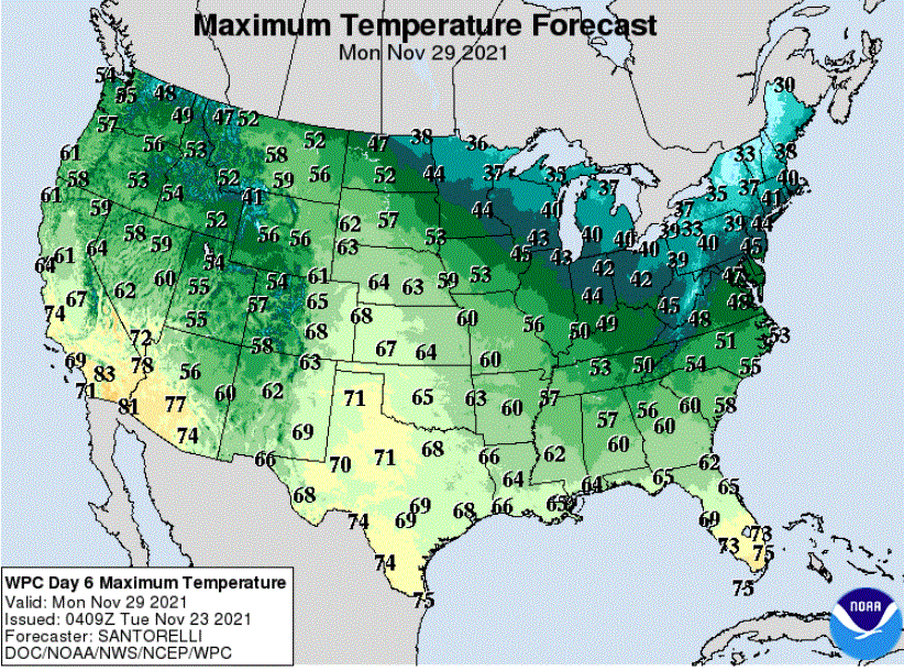
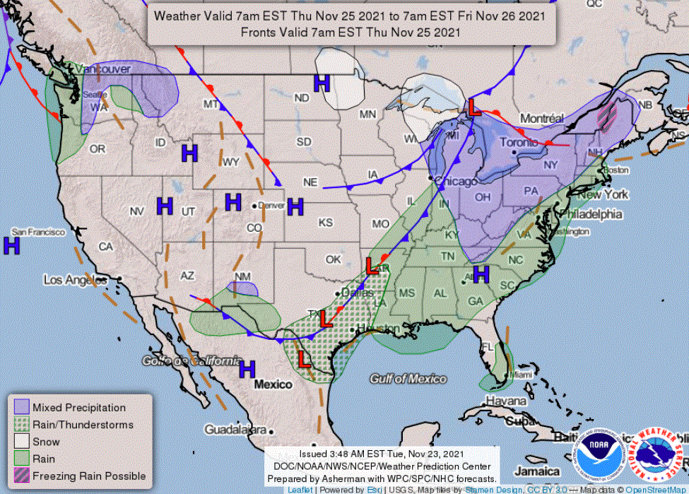
No major weathermakers are coming our way for the remainder of Thanksgiving week and into next week. Travel conditions will remain unimpacted.
Turn Up Your Support
MPR News helps you turn down the noise and build shared understanding. Turn up your support for this public resource and keep trusted journalism accessible to all.
Milder but breezy Tuesday
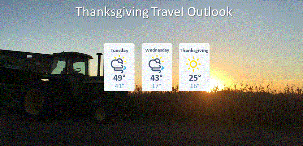
Much milder air will arrive from the south on Tuesday. High temperatures will be just in the upper 30s in the northwest and northeast corners of the state. Most of Minnesota will warm into the 40s while the southwest should see afternoon 50s. The shorts-and-sandals award might go to the southwestern corner of the state where areas around Luverne and Pipestone might get enough sun to warm into the upper 50s.
The Twin Cities area should see an afternoon high near 48 with a gusty wind from the south of 15 to maybe 30 mph.
Wednesday a day of transition
A pair of cold fronts will bring a statewide cooldown on Wednesday along with a chance of flurries in northern Minnesota.
Cold Thanksgiving Day
Thanksgiving Day promises to be rather cold but mostly sunny as crisp Canadian high pressure sinks into the state behind those cold fronts. High temperatures are likely to be only in the upper teens in northern Minnesota while the rest of the state will be in the 20s that afternoon. A bit of northwest wind will likely linger into the day, especially across eastern Minnesota.
Then milder
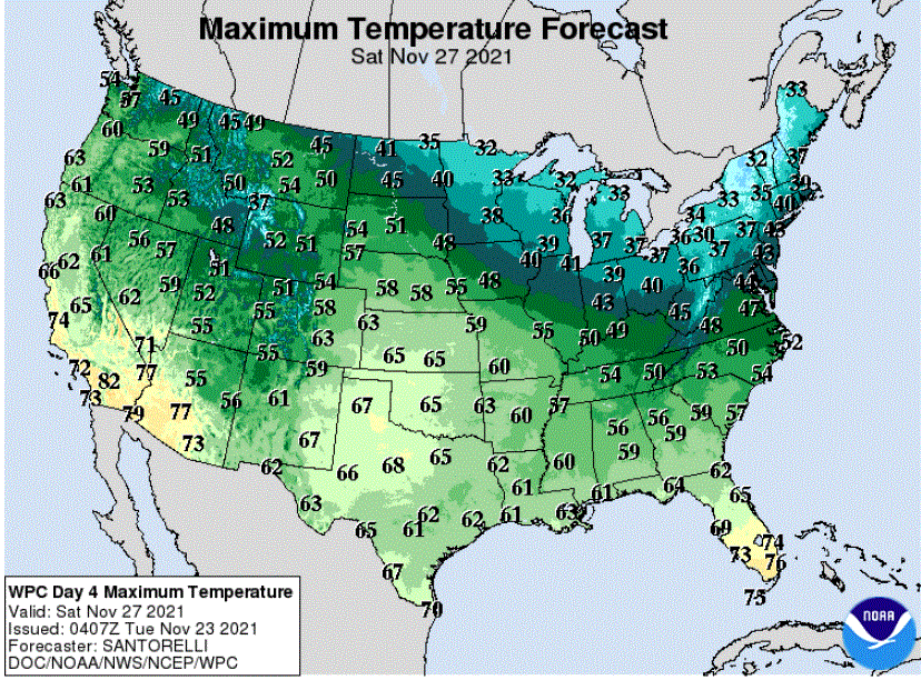
A gradual warmup, at least by late November standards, remains likely from Friday through the weekend.
Next week begins placid
Next week should start out on the slightly mild side before the weather patterns look like they might become more active later in the week.