
Cold sunshine Monday, then much milder
Go Deeper.
Create an account or log in to save stories.
Like this?
Thanks for liking this story! We have added it to a list of your favorite stories.


Canadian high pressure continues to build into Minnesota this chilly Monday morning.
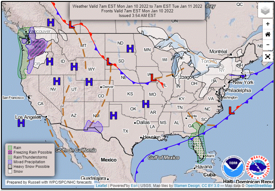
Temperatures will turn milder beginning on Tuesday
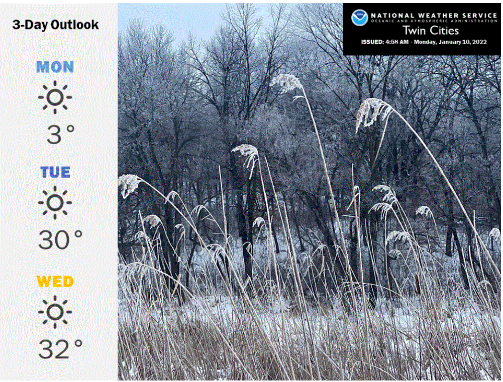
Monday’s weather
Temperatures in the single digits below zero abound across the Twin Cities area this Monday morning. It’s considerably colder to the north where temperatures have slid into the minus 20s at Princeton, Little Falls and Aitkin.
Winds are light, but are just enough to create dangerous wind chills. Wind chill warnings have been out across northern Minnesota and will continue in northwestern portions until noon. Wind chill advisories for central and southeastern Minnesota will expire at various times during the morning. Twin Cities wind chills are in the minus 20s.
Turn Up Your Support
MPR News helps you turn down the noise and build shared understanding. Turn up your support for this public resource and keep trusted journalism accessible to all.
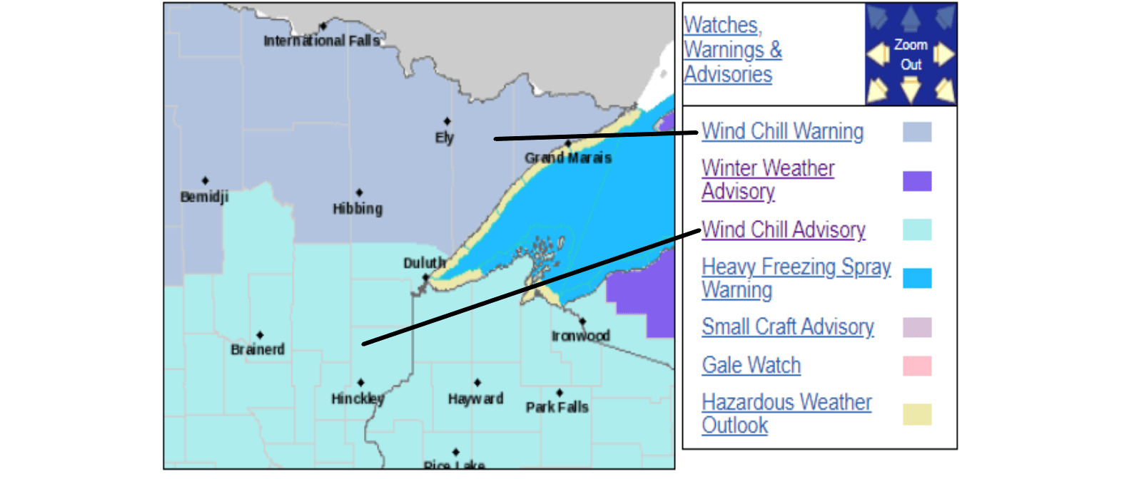
Temperatures will be slow to moderate in spite of bright sunshine. Highs Monday afternoon should range from negative single-digit temperatures across northern Minnesota to positive singles across about the southern half of the state. The warm spots will be in southwestern Minnesota where highs should reach the teens. The Twin Cities might just creep above zero to a high near 3 with a northwest breeze of around 6 to 12 mph. Look for sunshine for most of the day.
Thermal relief beginning on Tuesday
Much milder air will arrive from the southwest on Tuesday and linger through the rest of the workweek.
Highs on Tuesday should be in the 20s in the northeast and warm into the 30s over the southwest.
The Twin Cities should have a high of about 30.
Mini-thaw possible midweek
Wednesday and Thursday seem likely to climb into the low to mid-30s for the metro area for a touch of a January thaw.
Chance of snow late this week
Forecast models are trying to bring an Alberta clipper weather system our way on Friday. Shovelable snow is possible but the likely storm track is fuzzy so many days out. These systems often drop a few inches of powder, sometimes along a rather narrow stripe of fast-moving snow.

