Mild start to the week, cold blast ahead
Go Deeper.
Create an account or log in to save stories.
Like this?
Thanks for liking this story! We have added it to a list of your favorite stories.


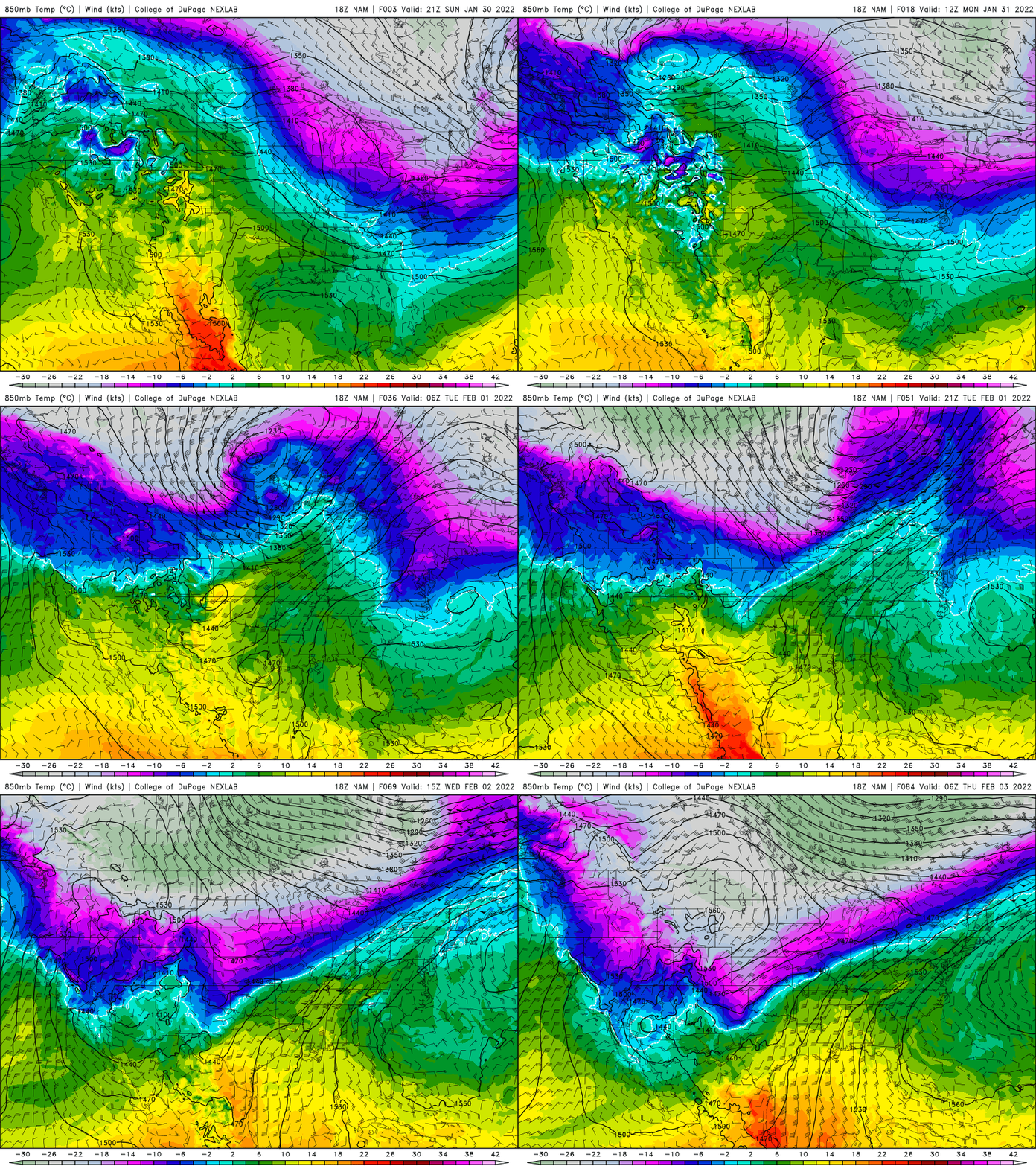
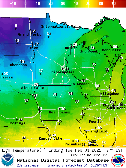
Buckle in for another roller coaster week of temperatures. We start the week mild with 20s and 30s Monday and the first half of Tuesday but another arctic blast is moving in Tuesday afternoon.
Temperatures with this round of cold shouldn’t be as cold as last week or earlier in January. You’ll recall Jan. 7 we dropped to minus 17 in the Twin Cities and minus 16 last Wednesday morning.
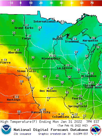
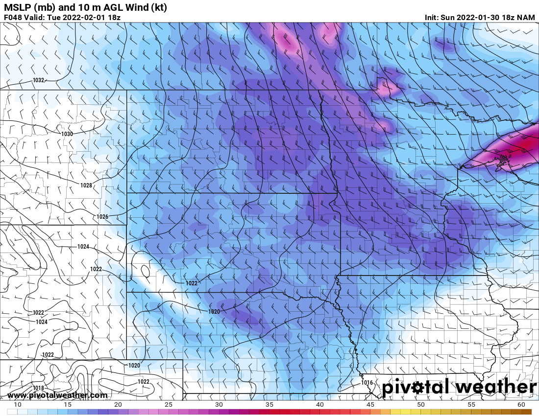
Our high temperature Tuesday will be in the morning, then winds increase from the northwest and temperatures will drop through the afternoon.
Winds will become gusty at 15-25 mph, but gusts will be up to 40-45 mph in western Minnesota.
Turn Up Your Support
MPR News helps you turn down the noise and build shared understanding. Turn up your support for this public resource and keep trusted journalism accessible to all.
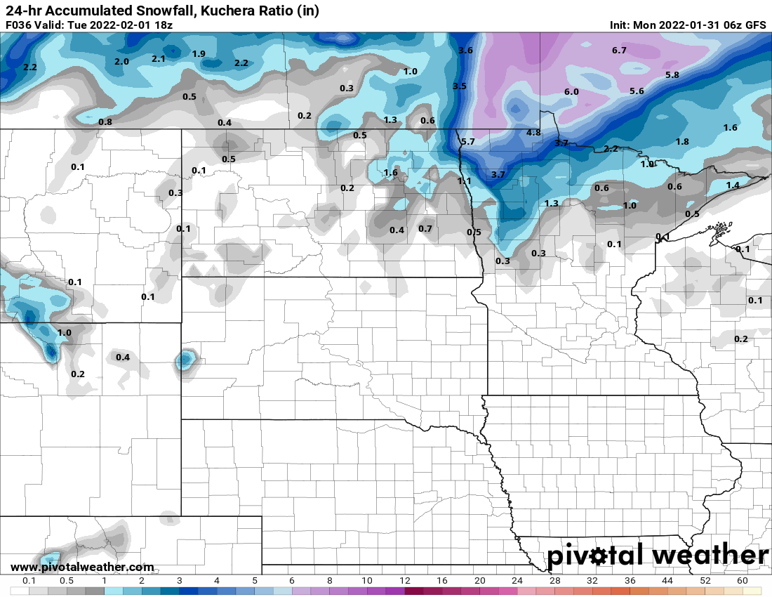
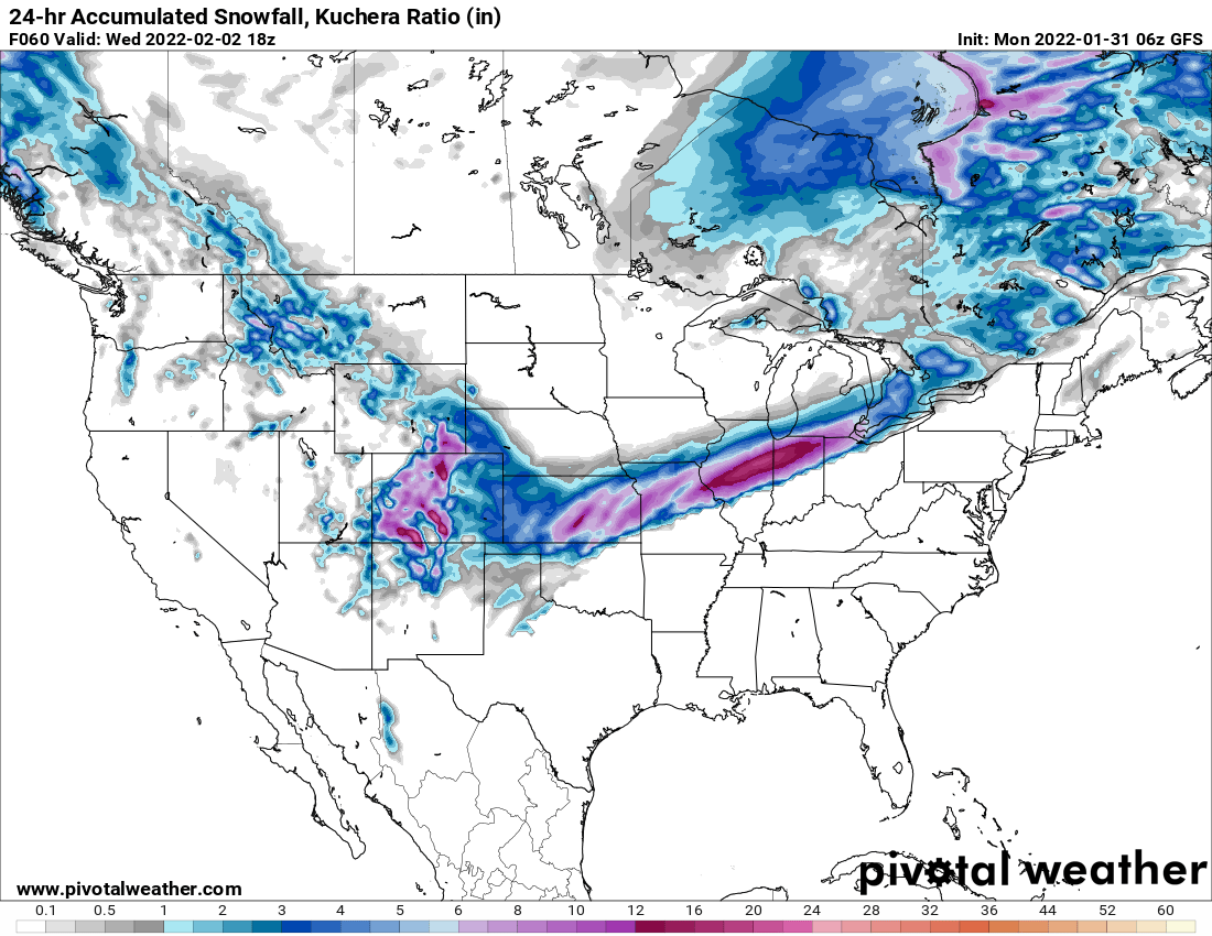
Bad news for snow lovers in southern Minnesota. The cold will move through Minnesota too quickly to produce snowfall for most of us but as it meets moisture further south, a big snowfall will develop from the plains toward Chicago Tuesday night into Wednesday.
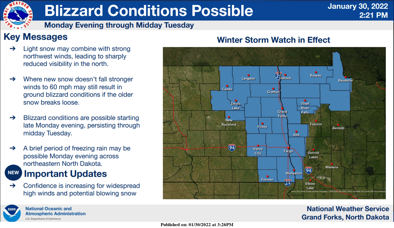
Northwest Minnesota will see some snow Monday night into Tuesday ahead of the cold front.
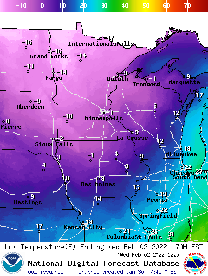
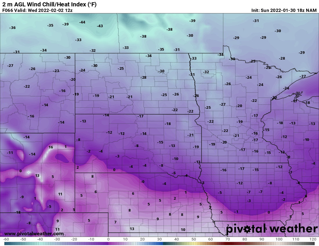
We can expect to wake up to temperatures in the single digits below zero by early Wednesday morning. Wind chills will range from 15 to 35 below zero by early Wednesday. Even colder readings, likely around minus 10 in the Twin Cities both Thursday and Friday mornings. Northern Minnesota will see lows in the 20 to 30 below zero range.