
40 degrees returns Tuesday; mild through the week
Go Deeper.
Create an account or log in to save stories.
Like this?
Thanks for liking this story! We have added it to a list of your favorite stories.


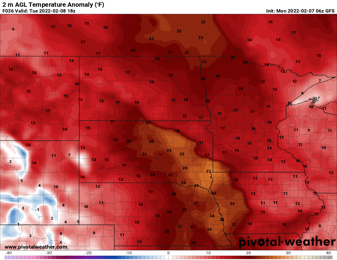
It seems this year so far we rarely get more than two or three days of the same temperature pattern before it changes again. This week should see several days of mild weather starting Tuesday.
We’re mostly in the teens to around 20 Monday afternoon and don’t expect temperatures to budge much overnight Monday night.
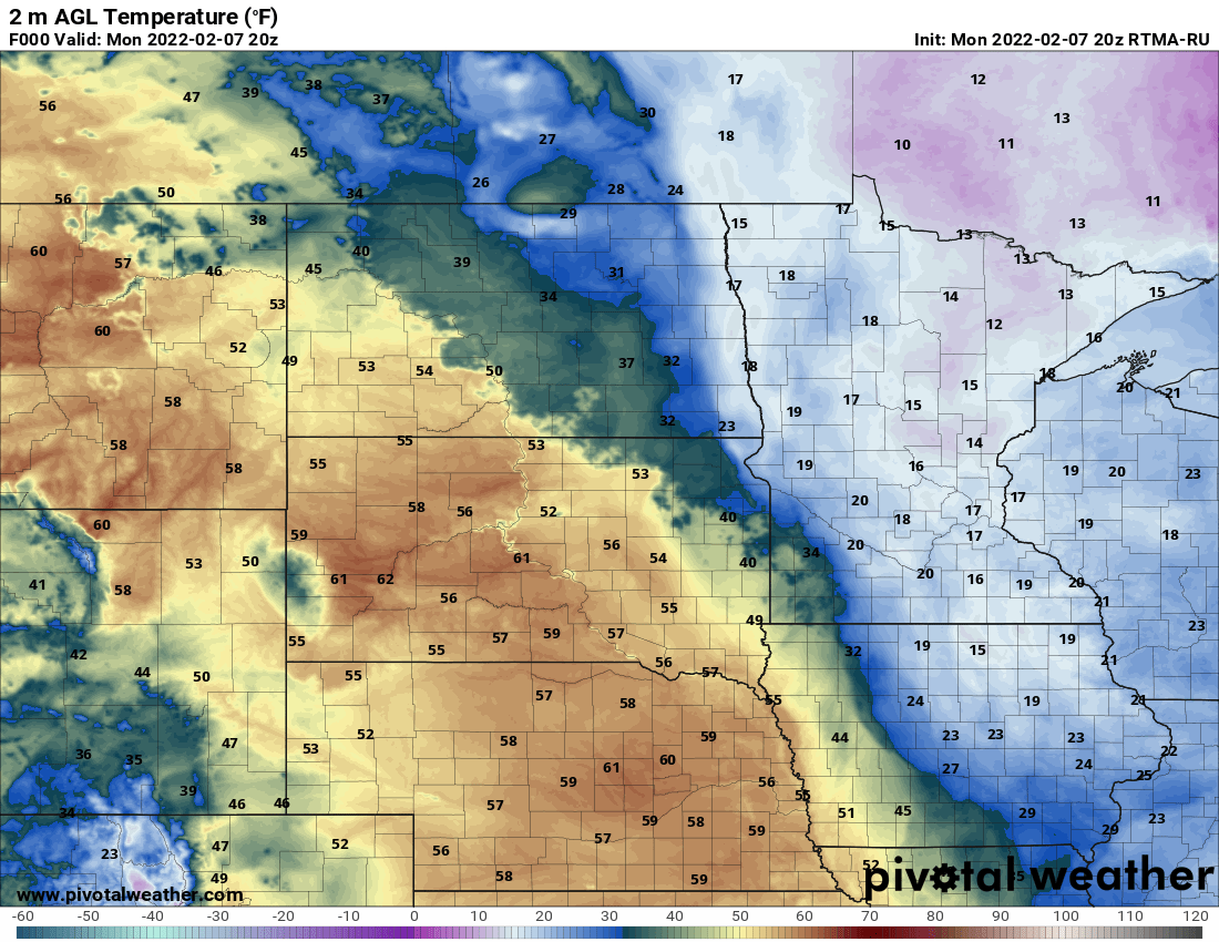
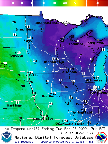
We’ll see temperatures warm up to around 40 in the Twin Cities and even 50 in southwest Minnesota, where a lack of snow cover has allowed them to be consistently warmer. Northern Minnesota even will get in on the thaw with widespread 30s.
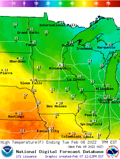
The mild air sticks around through Friday overall, though temperatures will be cooler than Tuesday’s 40 degree high.
Turn Up Your Support
MPR News helps you turn down the noise and build shared understanding. Turn up your support for this public resource and keep trusted journalism accessible to all.
The next system moves through the region Wednesday touching off a few flurries mostly with some possible patchy light accumulation. A more potent system moves in Thursday into Friday.
It looks most likely to bring snowfall of any significance to mainly northeastern Minnesota and northern Wisconsin. In fact, in the Twin Cities we might see a mixture of rain and snow showers on the southwestern edge. Stay tuned as the track of this system is likely to shift.
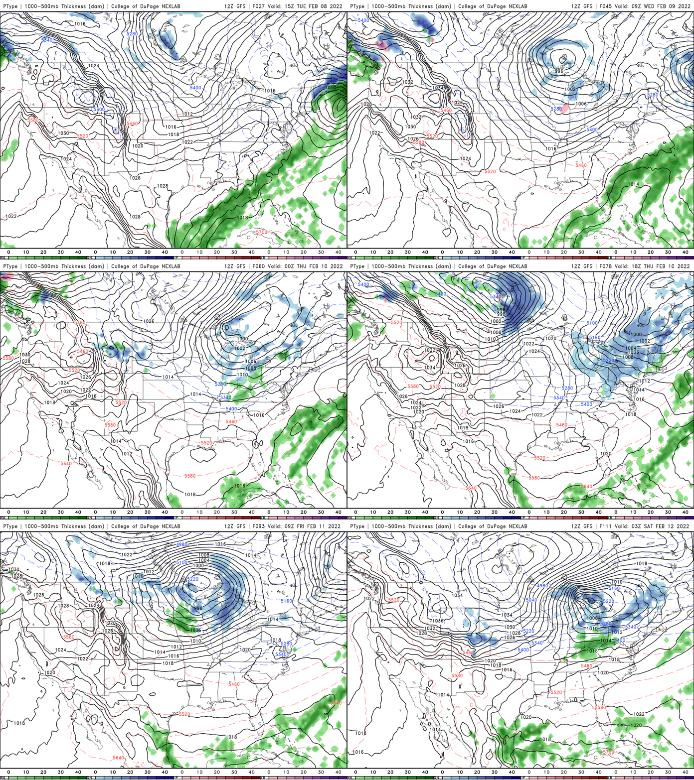
Behind Friday’s snow/rain will come a brief batch of colder air. Highs will be in the teens Saturday with northern Minnesota back below zero early Saturday morning. I do not foresee subzero readings in the Twin Cites for the next seven to 10 days!
A hopeful thing happened over the weekend — solar spring. Yes it may still look and feel like winter, but the darkest quarter of the year is now behind us. We’re in the quarter of the year with the most and fastest daylight gain!


