
Mild workweek weather: 30s and 40s, chance of snow and rain

Go Deeper.
Create an account or log in to save stories.
Like this?
Thanks for liking this story! We have added it to a list of your favorite stories.


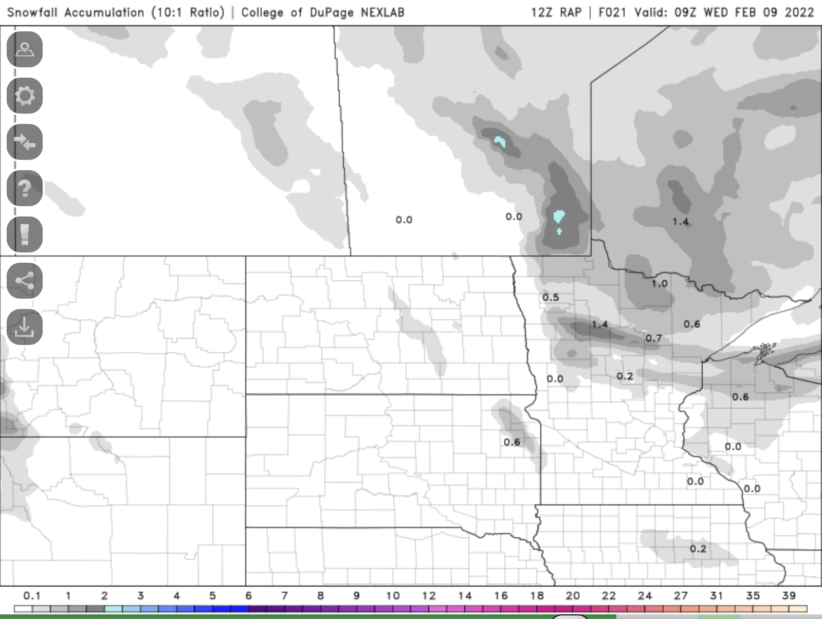
Minnesota sees its warmest day in three weeks, with highs in the 30s across most of Minnesota Tuesday afternoon with highs near 50 in the southwest. Expect a snow coating Tuesday night in northern Minnesota with an evening sprinkle or flurry in the Twin Cities.
4 mild days?
Tuesday’s high temperature, if we reach 40 in the Twin Cities, will be the third of the year so far, which is normal to date.
While a cool front will drop temperatures slightly after Tuesday, we should still see highs above 30 through Friday. If we do that, it’ll be the first time since late December that we’ve had four or more consecutive days above 30 degrees!

As the cool front sweeps across Minnesota Tuesday, winds will increase and switch from the south to the northwest. Winds will be over 20 mph in the west and those blustery winds will spread east overnight Tuesday night into Wednesday.
Turn Up Your Support
MPR News helps you turn down the noise and build shared understanding. Turn up your support for this public resource and keep trusted journalism accessible to all.
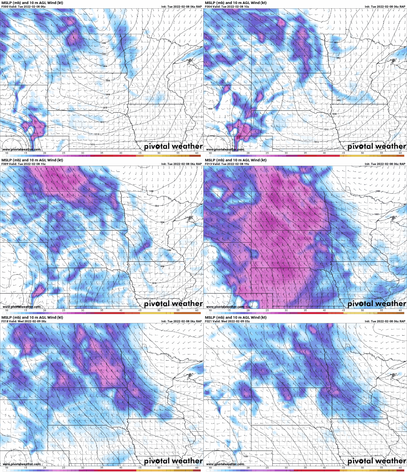
Along with a slight drop in temperatures from Tuesday into Wednesday, we’ll see snow showers in northern Minnesota drop a fresh coating in some spots. In the Twin Cities, we’re likely to just see an evening sprinkle or flurry.
We’ll still see highs in the low 30s Wednesday in the Twin Cities, just several degrees cooler than Tuesday.

A more significant system is developing for Thursday into Friday. That system is more potent and will have access to more moisture.
Northeastern Minnesota into northern Wisconsin stands to see potentially several inches or more of snow. Central and southern Minnesota will be on the southwestern edge of the track and could even see rain and snow mixed showers late Thursday due to the mild air.

Virtually all computer models agree the more significant snow will remain north and east of the Twin Cities area. That doesn’t mean we couldn’t get some lighter amounts however, especially in the cooler overnight hours Thursday night.

The one thing we’ll all see out of the Thursday-Friday storm system is the chunk of colder air it will drag in behind it. Lows will drop below zero for much of central and northern Minnesota again early Saturday morning.

High temperatures statewide will be in the teens Saturday afternoon.

We should warm right back up to seasonable readings in the 20s Sunday and perhaps even 30 again by next Monday.

