
Blowing snow, falling temps Friday; cold Saturday
Go Deeper.
Create an account or log in to save stories.
Like this?
Thanks for liking this story! We have added it to a list of your favorite stories.


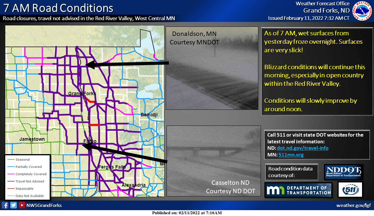
Gusty winds and falling temperatures are spreading across Minnesota. Blizzard conditions are creating treacherous conditions in northwestern Minnesota where no travel is advised. Wind gusts have topped 50 mph for many areas.
Expect blowing, scattered snow showers and temps falling from 30 to the teens later Friday afternoon in the Twin Cities. Saturday will see single-digit highs across most of Minnesota. Conditions will be slightly warmer Sunday.
Wind, snow scrape the state
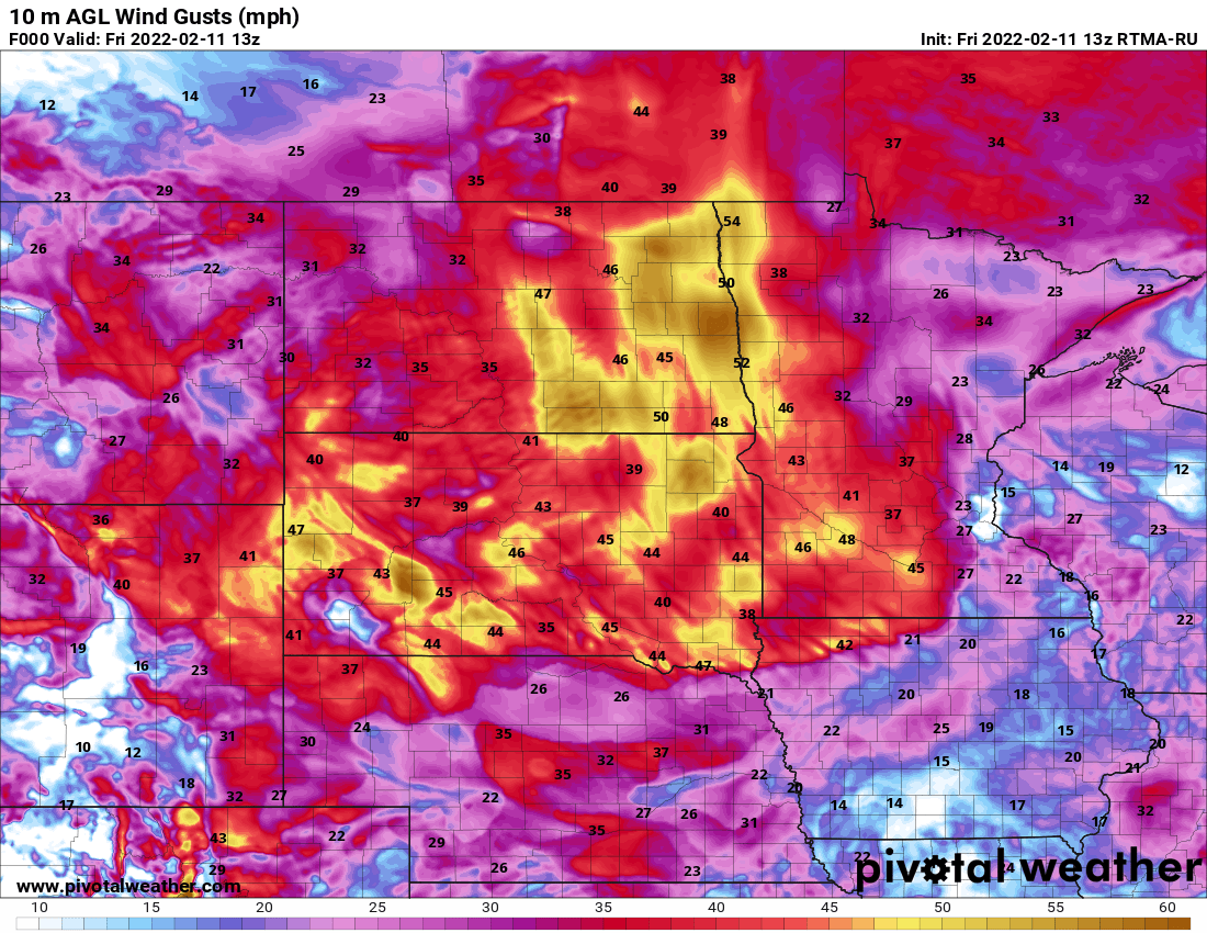
Wind gusts have been as high as 45 mph in the Twin Cities and as high as 55 mph in Grand Forks, N.D. Gusty winds will be with us through the day at sustained speeds of 15 to 25 mph in the east and 25-40 mph.
We’ll continue to see gusts top 55 mph in western Minnesota, creating blizzard conditions. A blizzard warning is posted for northwest Minnesota through 12 p.m. Friday.
Turn Up Your Support
MPR News helps you turn down the noise and build shared understanding. Turn up your support for this public resource and keep trusted journalism accessible to all.
We’ll have scattered flurries and snow showers giving many areas a coating to one-half inch of snow on top of surfaces that will be refreezing.

Temperatures will continue to drop through the day Friday, from the 30s and 20s in the south into the teens by afternoon. Northwestern Minnesota will be subzero by the afternoon:

Wind chills will be well below zero through the day north, and drop below zero by evening in the Twin Cities and areas southeast. Overnight Friday night into early Saturday morning will see our coldest wind chills.

Lows early Saturday morning will bottom out subzero pretty much statewide with temps as cold as the 20s below zero in the northwest and single digits below zero in the Twin Cities and southeastern Minnesota.

Highs Saturday will remain well below normal with single digits above zero for most places.

Conditions will be slightly warmer Sunday, and we should surpass 20 degrees again Monday with even milder temperatures returning for Tuesday and Wednesday. We should see highs near freezing in the south and 20s in the north.
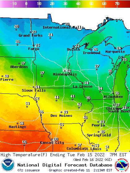
The overall pattern will be one that’s conducive to milder temperatures next week into next weekend, Feb. 18-20.

