
Bright, chilly sunshine Monday; warmer Tuesday
A cool start to the week but near 30 Tuesday and breezy

Go Deeper.
Create an account or log in to save stories.
Like this?
Thanks for liking this story! We have added it to a list of your favorite stories.


Minnesota sees high temperatures Monday afternoon in the teens in the south and single digits north — about 10 degrees below normal. Tuesday highs will reach the low 30s in much of southern Minnesota with upper teens to 20s up north. Weather-wise, it’ll be a quiet week.
Slick, chilly Monday
Monday morning temps are well below zero just north of the Twin Cities and single digits elsewhere. It doesn’t take much when the temperatures are cold to create slick conditions.
Most of us saw around 1 inch of fresh snow, but temperatures were less than ideal for salt and road chemicals to work quickly on roadways.
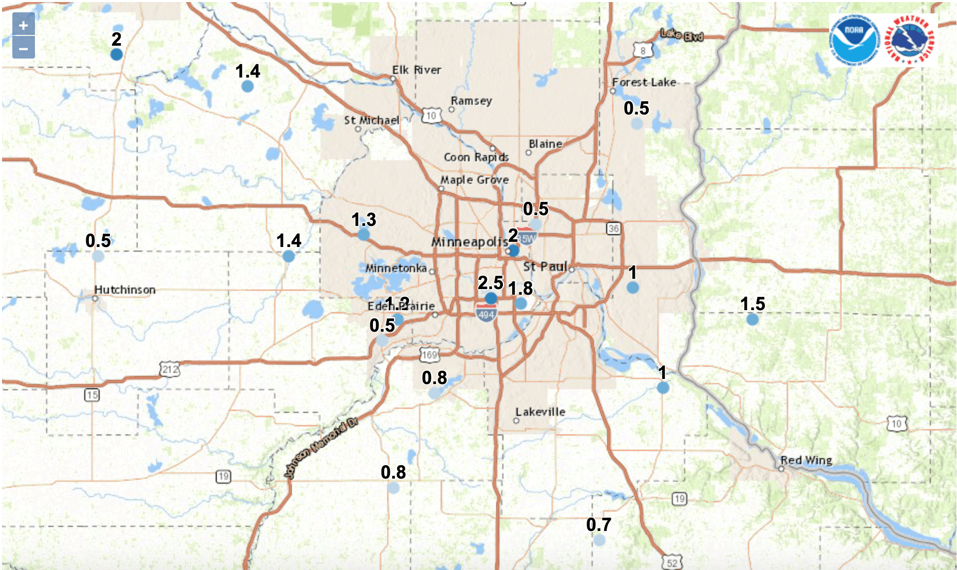
We will have bright sunshine that will help to melt off snow and ice on paved surfaces Monday. Temperatures will be chilly though at about 10 degrees cooler than normal for the date.
Turn Up Your Support
MPR News helps you turn down the noise and build shared understanding. Turn up your support for this public resource and keep trusted journalism accessible to all.
Overnight temperatures will slip again into the single digits for the Twin Cities and areas south while much of central and northern Minnesota will drop below zero.

These temperatures are a far cry from the lows we saw early Sunday morning where temperatures for the second time this season dropped below minus 40 for some places in far northern Minnesota. While unpleasant for humans, it’s crucial to kill off invasive pests like emerald ash borer and the pine bark beetles.

A cool phenomena seen over the weekend in North Dakota was a “snow devil.” Any time you have an upward moving current of air it can take on rotation.
The wide open spaces of the Dakotas are prime for something like this to occur:
One larger and much slower rotation over Minnesota is an area of cold high pressure. Winds will be light Monday, flowing outward and clockwise from the center, keeping things cool with winds from the north and northwest.
As this area of high pressure exits Minnesota, we’ll be on its backside and a southeast flow that will start to bring in warmer air but also increased wind speeds Tuesday.
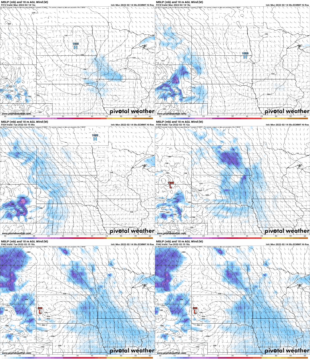
Highs Tuesday will reach into the low 30s in southern Minnesota (with even low 40s in the southwest, snow-free corner of the state). Northern Minnesota will remain in the upper teens to 20s.

In what’s become an all-too-familiar pattern, the high Wednesday will be early in the morning, near freezing in the Twin Cities and fall through the day as colder air moves in for Thursday. Milder air already will push back in for the weekend, however.
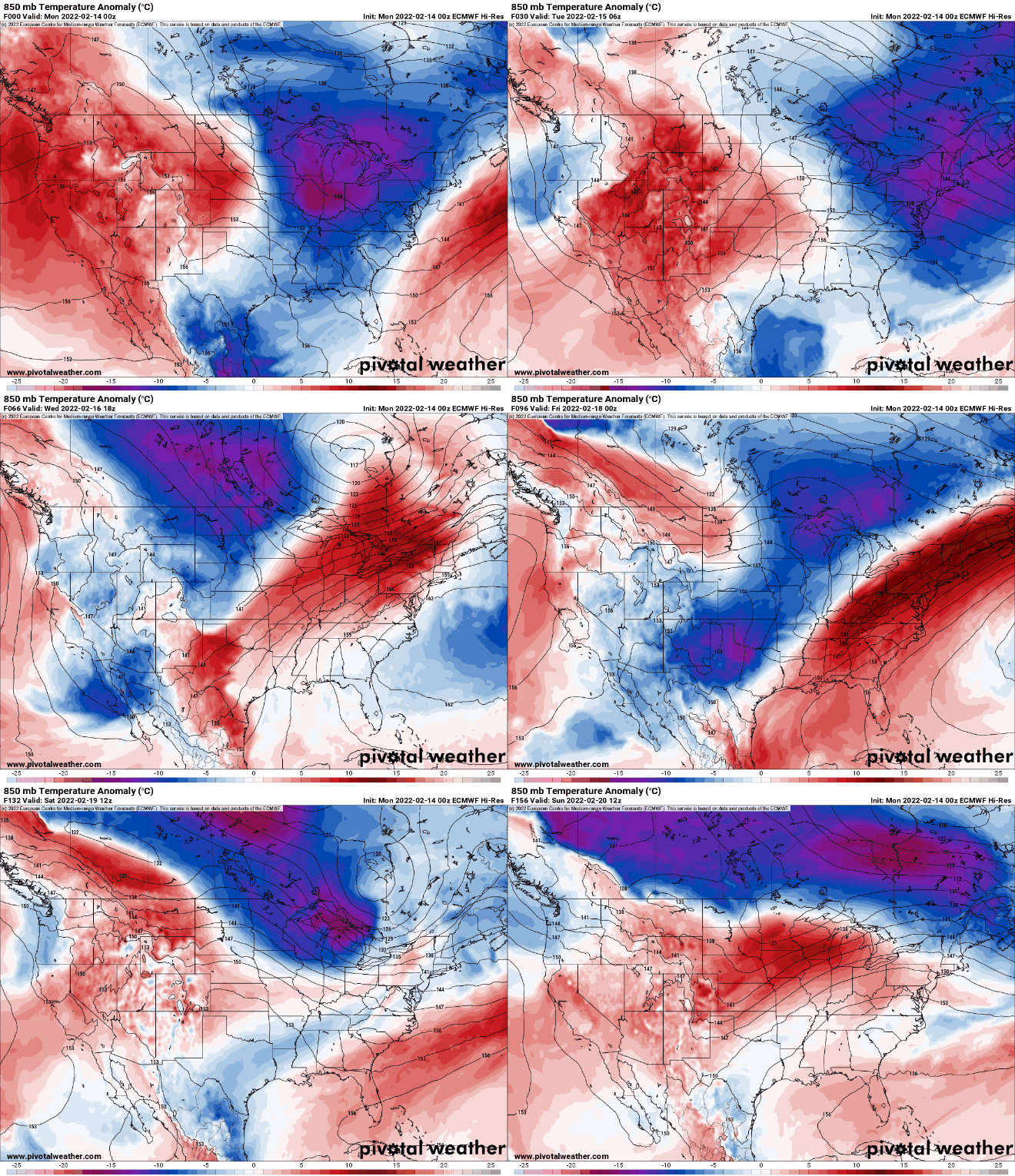
The timing of that next cold front and moisture will produce a large snowfall from Kansas into Missouri, southeast Iowa, and Illinois.

As you can see in the snowfall image of snow totals for the week, most of Minnesota will see any precipitation, making for a relatively quiet week.

