
South winds bring milder air Tuesday; colder Wednesday, Thursday

Go Deeper.
Create an account or log in to save stories.
Like this?
Thanks for liking this story! We have added it to a list of your favorite stories.


Blustery south-southeast winds will push temperatures higher Tuesday but also create some snow showers for northern Minnesota, with most places from Duluth onto the Iron Range seeing a coating to one-half inch. Spots along the international border could see 1-2 inches.
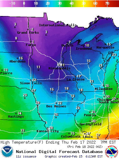
High temperatures today will range from 40 in southwest Minnesota to the upper teens in the arrowhead. Colder air returns Wednesday and Thursday.
Wind puts a chill on mild temps
It’s pretty hard to get a mild day in winter without wind pushing away the cold air and Tuesday will be no exception. While we’ll see afternoon highs in the low 30s in the Twin Cities and even low 40s in the snowless, southwestern corner of Minnesota, the wind will make it feel much cooler. Southeast winds will blow at 15-20 mph at times.
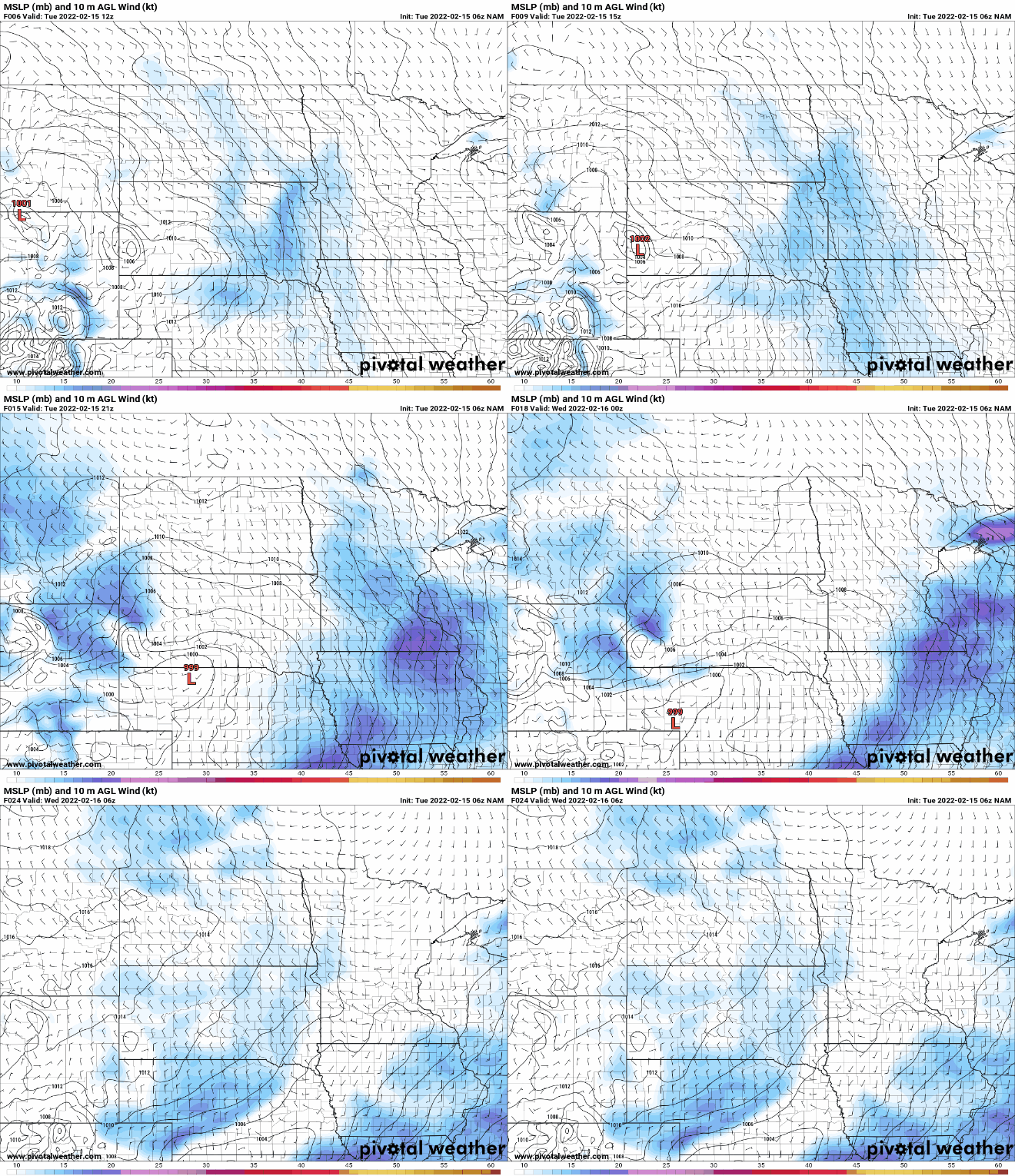
As that warmer air pushes north, up and over some pretty cold air yet in northern Minnesota, snow showers will develop.
Turn Up Your Support
MPR News helps you turn down the noise and build shared understanding. Turn up your support for this public resource and keep trusted journalism accessible to all.
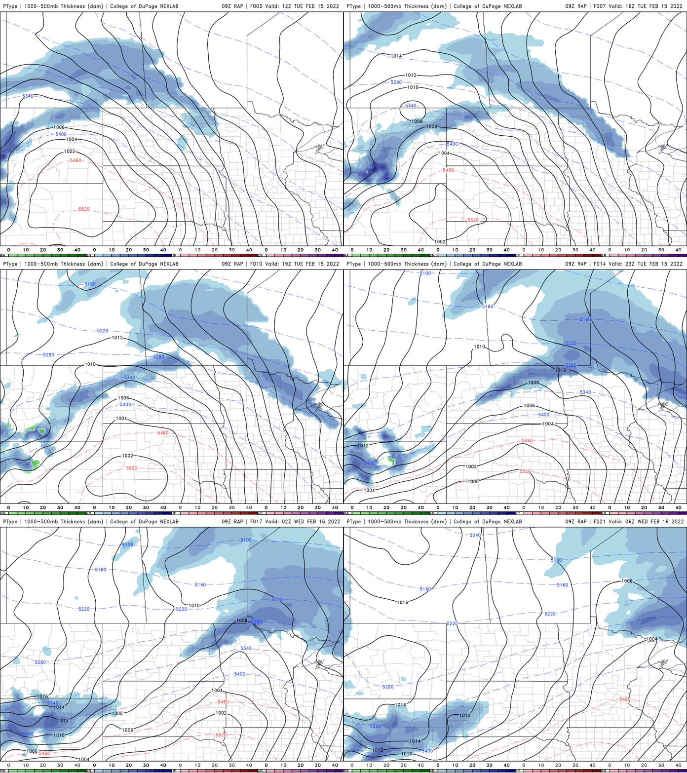
Most areas will see under 1 inch, but some spots along the international border could see up to one to 2 inches.

Our high temperature Wednesday will be just after midnight and then fall through the day as colder air returns for a couple of days.

That cold air will collide with moisture, once again, to our south. A major winter storm will create a mess from the plains to Chicago and Ohio River Valley into the northeast Wednesday into Thursday.
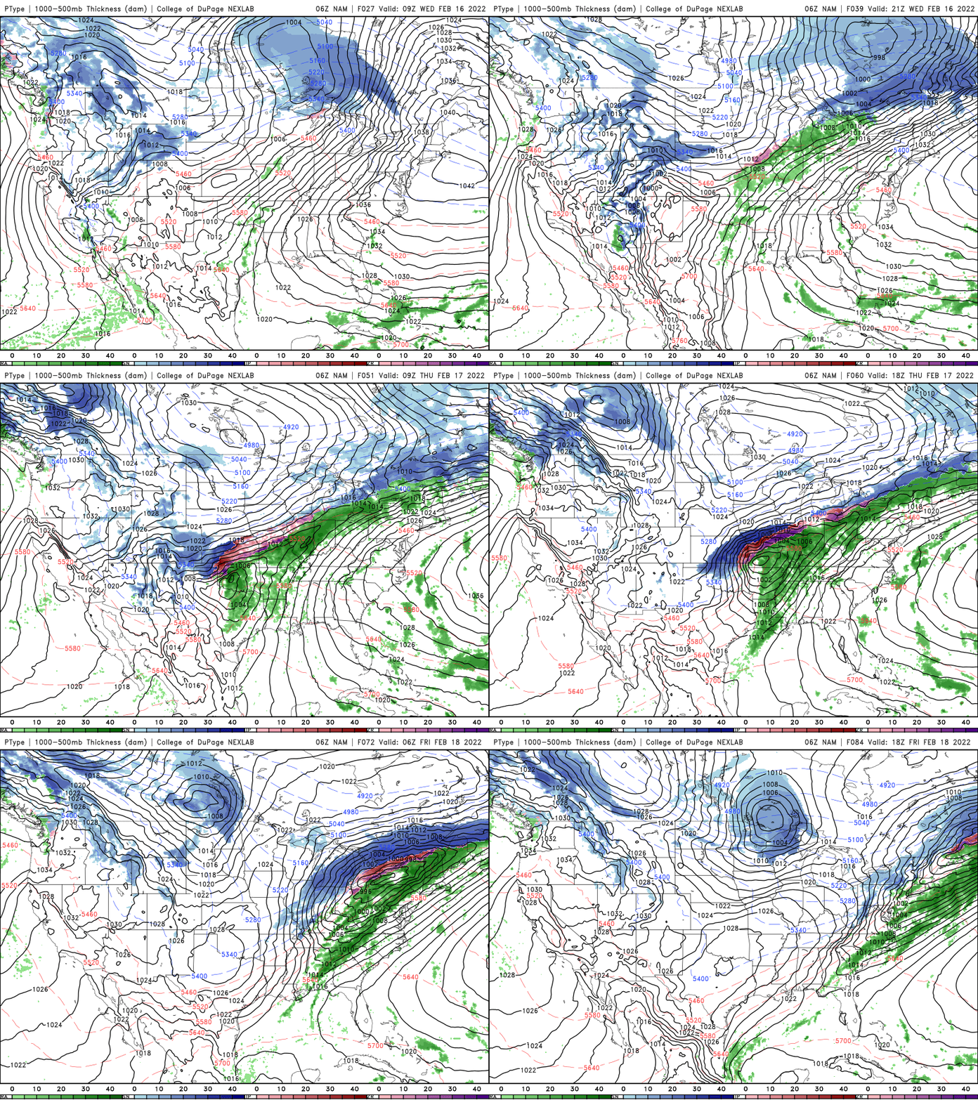
Lows Thursday morning will once again be frigid across Minnesota.
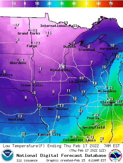
Highs Thursday will once again be chilly. Around 10 degrees in the south and single digits north.
We’ll already warm up into the 30s in southern Minnesota Friday and that will result in the next snow chance as well. A coating is all that looks likely south but northern Minnesota once again could see several inches.
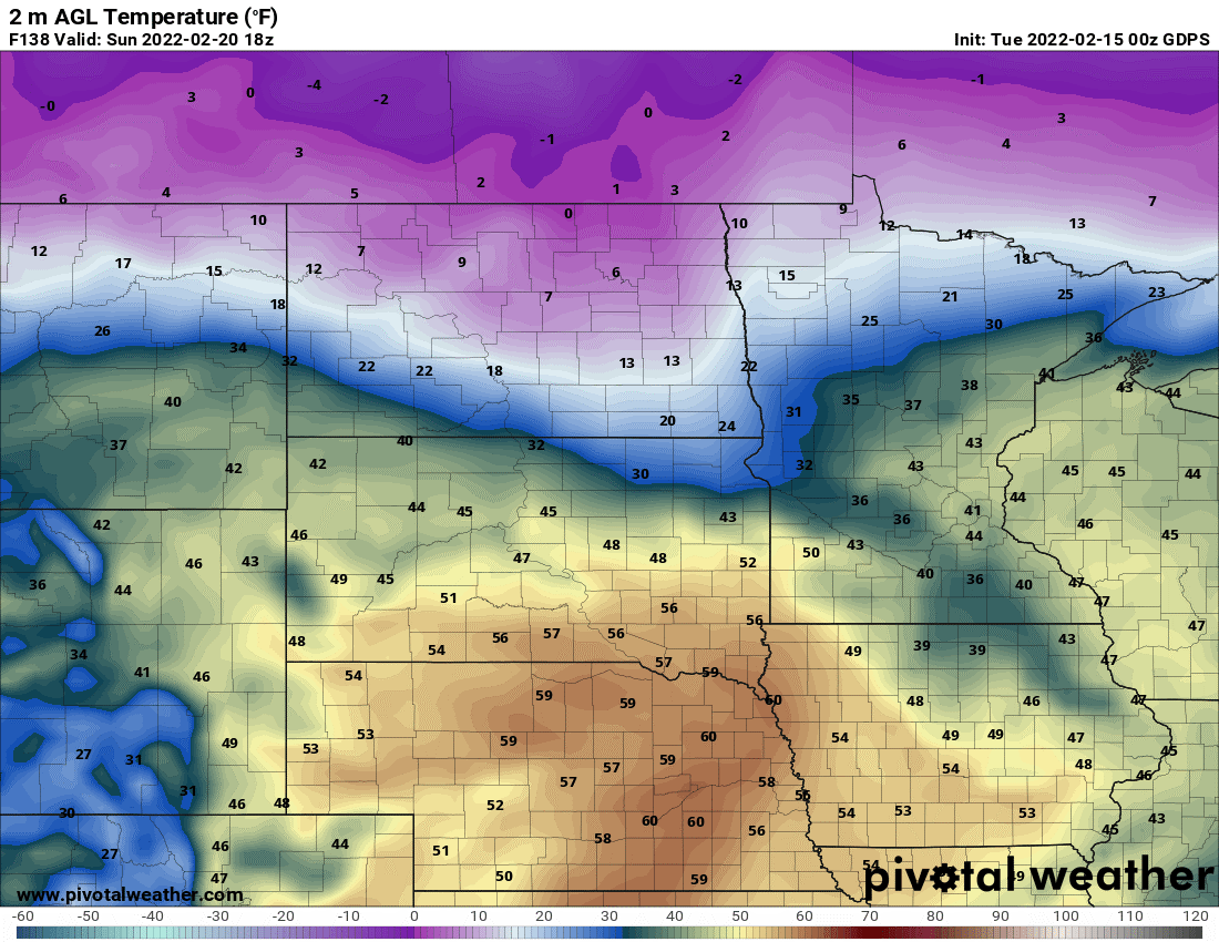
The weekend will bring much milder air, especially by Sunday when highs could reach 40 for much of southern Minnesota.
Sun returns to much of the high arctic
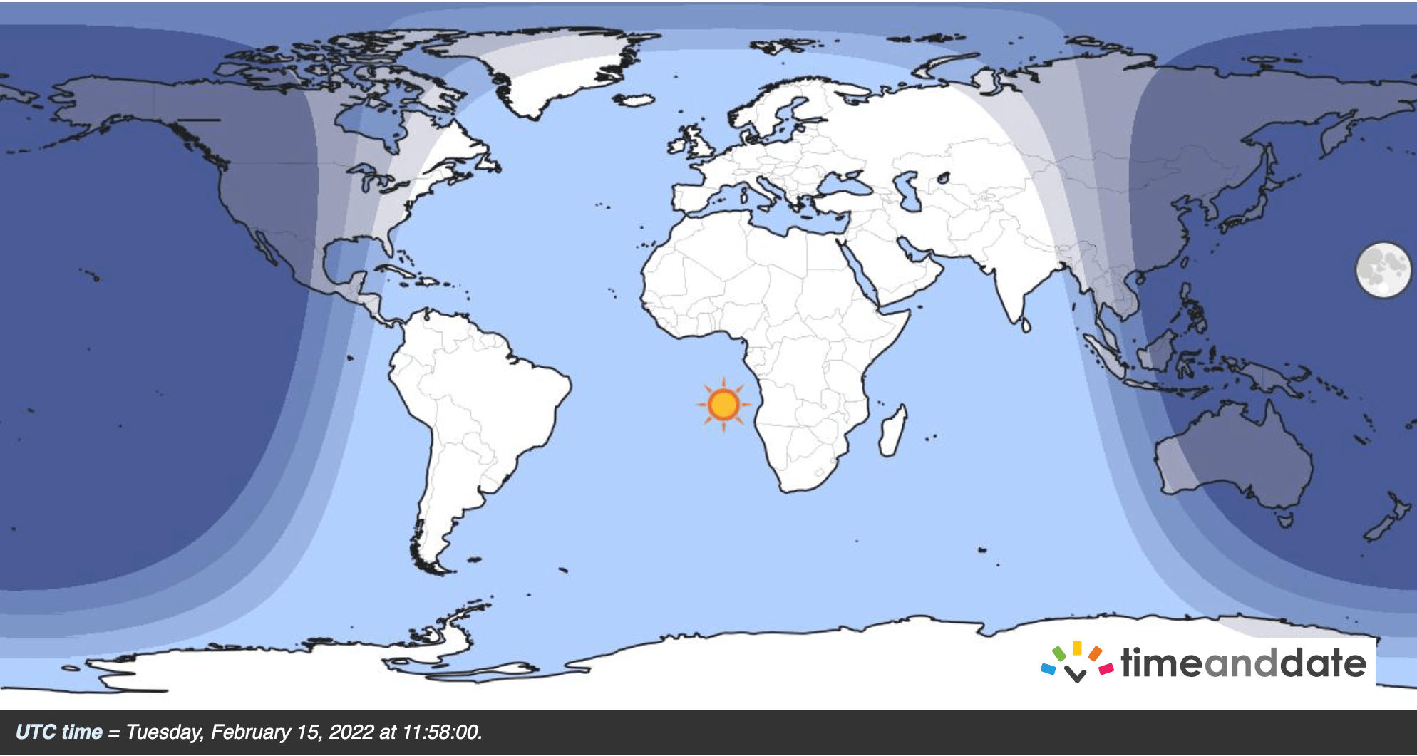
Of course we’re still talking about the back and forth between arctic air and milder air in February but there’s one more hopeful sign that spring will eventually get here and win. Sunshine has returned to Longyearbyen on Norway's Svalbard archipelago.
It’s the northern most settlement (defined by 1,000 or more people) on Earth, high into the arctic and they haven’t seen the sun since late October. The town saw only saw 23 minutes of light in the noon hour Tuesday but they gain light exponentially until finally by late April it’s out all day and night.
The return of sunlight sets off a sequence of events, not just warming the lower levels of the atmosphere (which means we warm up too), but also the stratosphere (more than 10 miles up above) as sunlight reaches ozone again.
The destruction of the stratospheric polar vortex thus begins now through March. That process affects almost all of the Northern Hemisphere’s weather.

