
Temps drop Wednesday, Thursday; big warmup Sunday

Go Deeper.
Create an account or log in to save stories.
Like this?
Thanks for liking this story! We have added it to a list of your favorite stories.


Another cold front brings falling temperatures and breezy conditions to Minnesota Wednesday. Temperatures fall slowly into the teens by evening in the south and well below zero in the north. Sunday will be mild. Significant snow may be on the horizon next week.
Temps set to slide again
Yet another swing in temperatures is blowing across Minnesota Wednesday. Temperatures will slowly fall today on breezy northwest winds at 10-20 mph, with higher gusts in western Minnesota.

Look for temperatures overnight to drop below zero for much of the state north and west of the Twin Cities. In fact, northwestern Minnesota will see lows as cold as 10 to 20 below zero. In the Twin Cities we will probably hang onto around zero early Thursday morning.

Highs Thursday will definitely be colder than normal statewide.
Turn Up Your Support
MPR News helps you turn down the noise and build shared understanding. Turn up your support for this public resource and keep trusted journalism accessible to all.

Our colder air is colliding with moisture to the south to once again, creating a big winter storm for the areas to Minnesota’s south and east, where significant snow, ice and rain will fall Wednesday into Thursday.
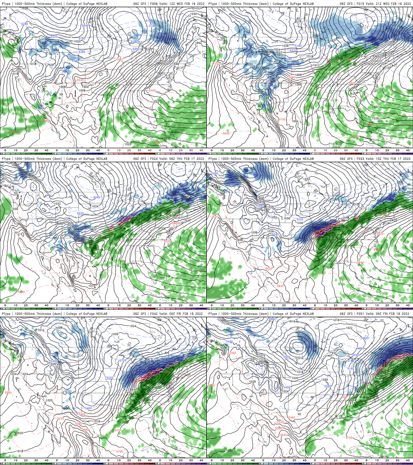
Warmer air moves in Friday already with highs in the 30s in the south, 20s in the north but a clipper system will bring clouds and snow showers.

Northern Minnesota could see several inches along the international border. Central and southern Minnesota likely will just see a coating.
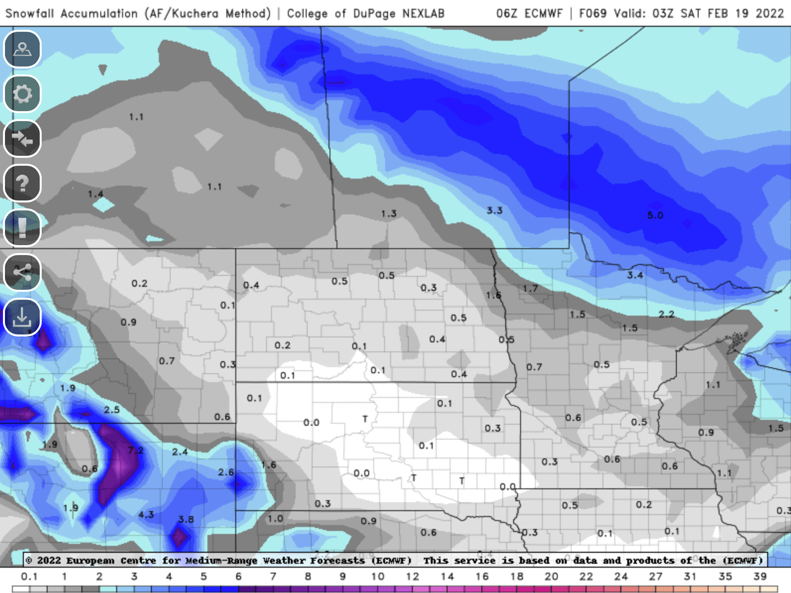
We’ll cool off slightly behind Friday’s clipper for Saturday, putting Minnesota largely back into the 20s south and teens in the north.
Much warmer air moves in for Sunday:

Snow potential next week
A few factors will be taking shape over the weekend into early next week that may finally change our fortunes as far as snowfall is concerned in southern Minnesota.
The jet stream is shifting north, which not only brings in the warmer air for Sunday but lines us up with the more significant storm track much of next week.
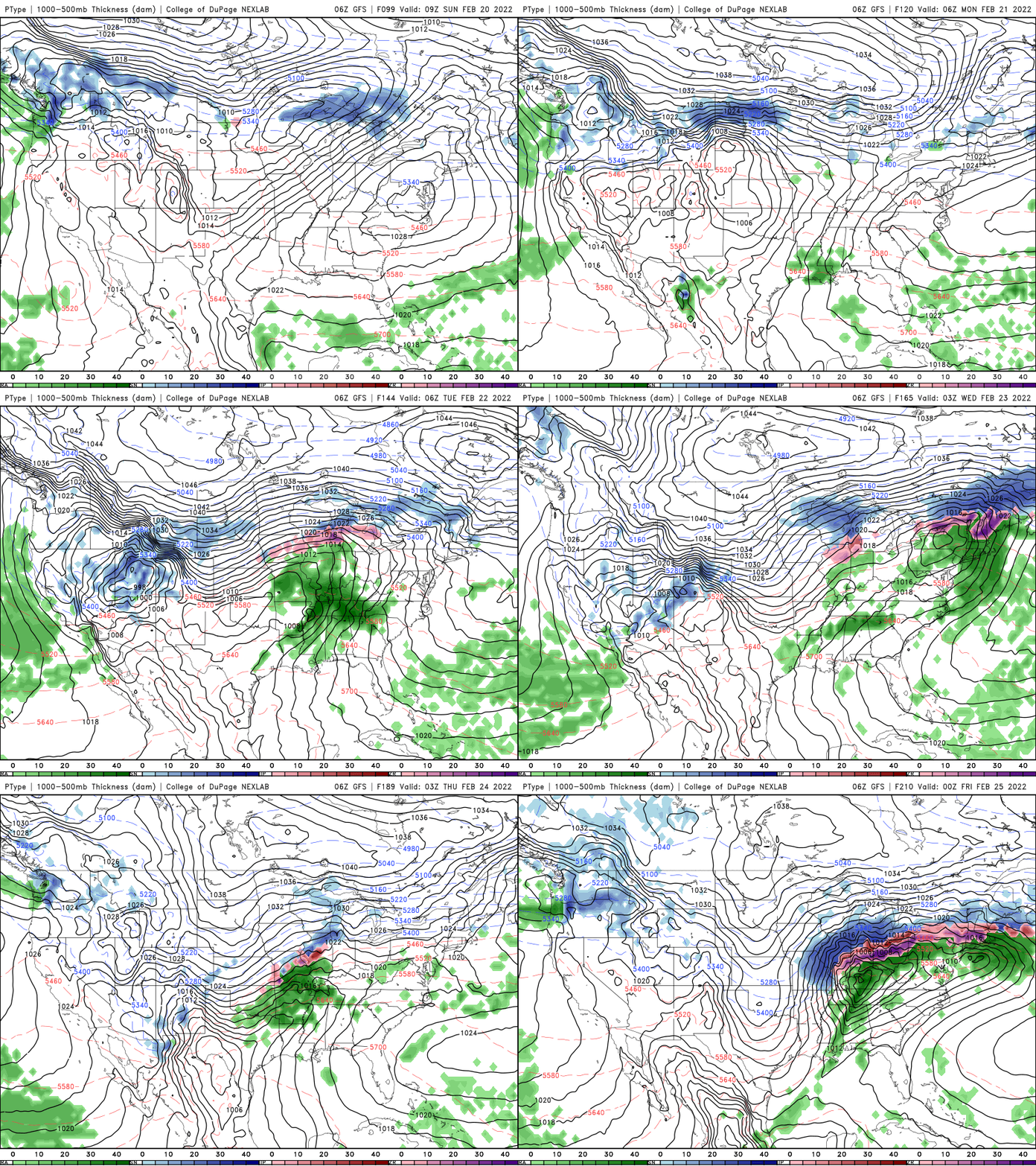
We stand to potentially see more than one snowfall of note early to mid next week.
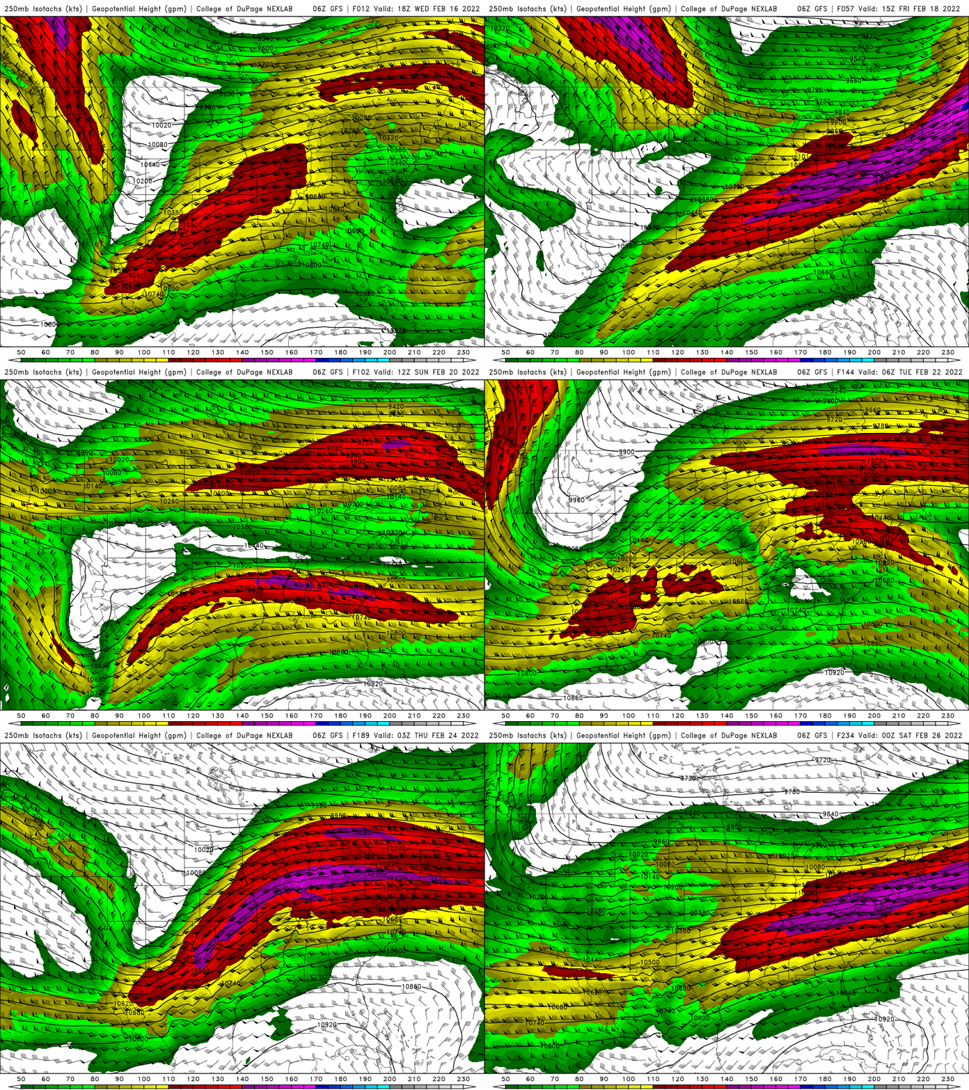
While there are certainly no guarantees and lots of possibilities at this point, the northward shift in the storm track is encouraging for the potential for real snowfalls, rather than meager clipper systems.
The National Oceanic Atmospheric Administration’s Climate Prediction Center is forecasting higher odds of above normal precipitation for much of Minnesota and Wisconsin next week.

