Chilly Thursday; snow showers Friday
Cold Thursday morning, Light snow Friday
Go Deeper.
Create an account or log in to save stories.
Like this?
Thanks for liking this story! We have added it to a list of your favorite stories.


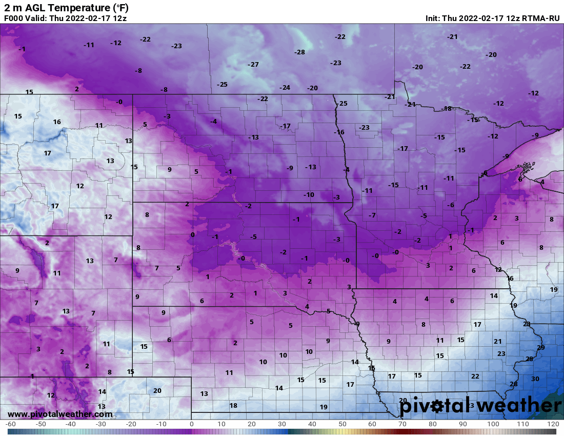
It’s a cold one again, especially for the northern half of Minnesota. Temperatures are in the teens below zero and even 20s below zero in northwest Minnesota. From the Twin Cities and south we’re hanging on to around zero or single digits above.
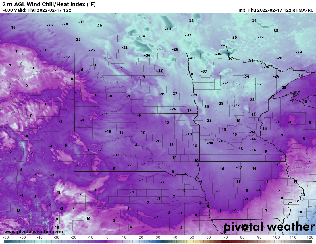
Wind chills however are in the teens below zero in the south and 20s and 30s below zero in the north. A wind chill advisory is out through the morning for northern Minnesota.
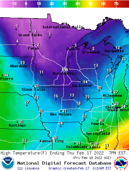
It’ll remain a chilly but sun-filled day Thursday. High temperatures will be about 15 to 20 degrees colder than normal (which is 29 for the Twin Cities).
Temperatures Thursday will drop initially then slowly rise late in the night for most of us. Friday will be much warmer for most of us, especially in southern Minnesota.
Turn Up Your Support
MPR News helps you turn down the noise and build shared understanding. Turn up your support for this public resource and keep trusted journalism accessible to all.
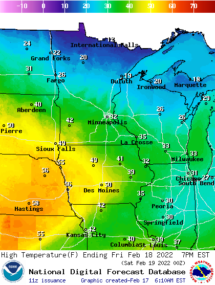
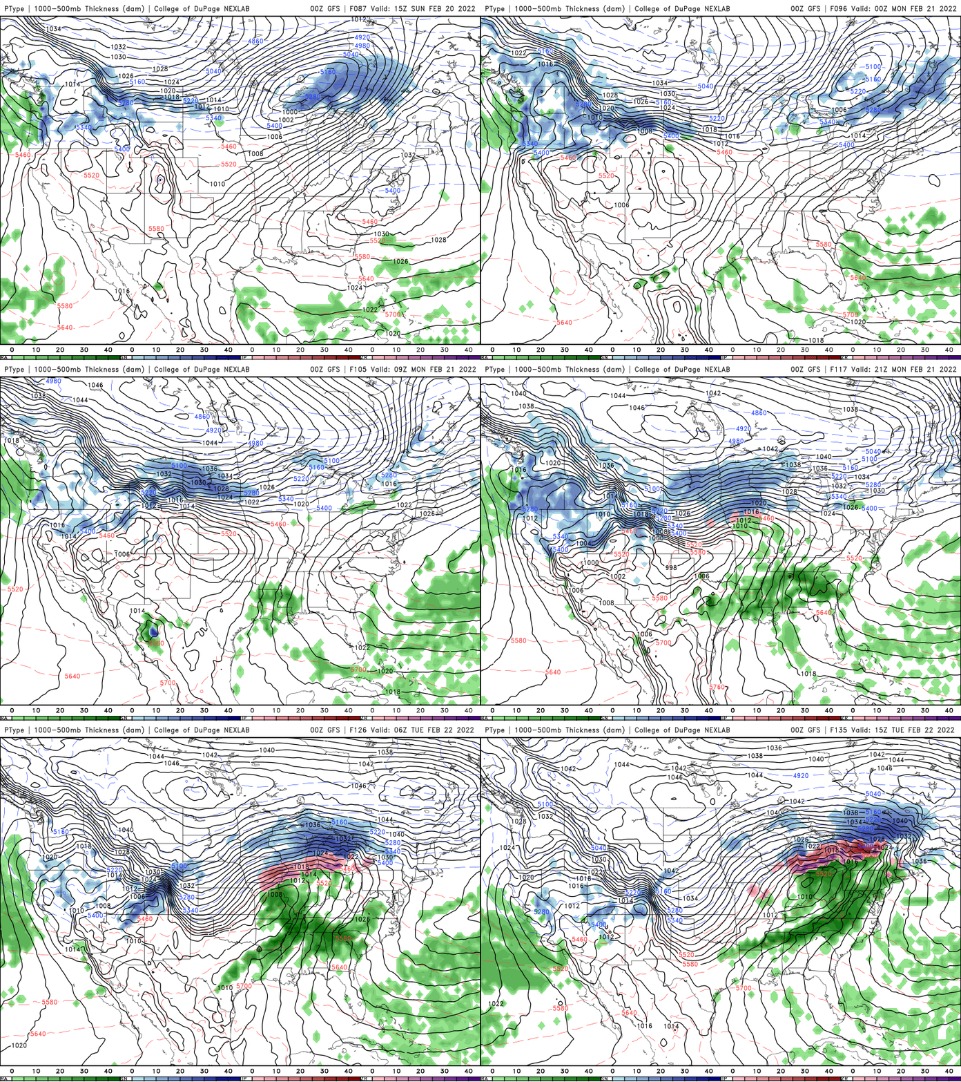
A clipper system is bringing that warmth and then wind behind it along with snow showers. Northern Minnesota again, will stand to see the most accumulation.
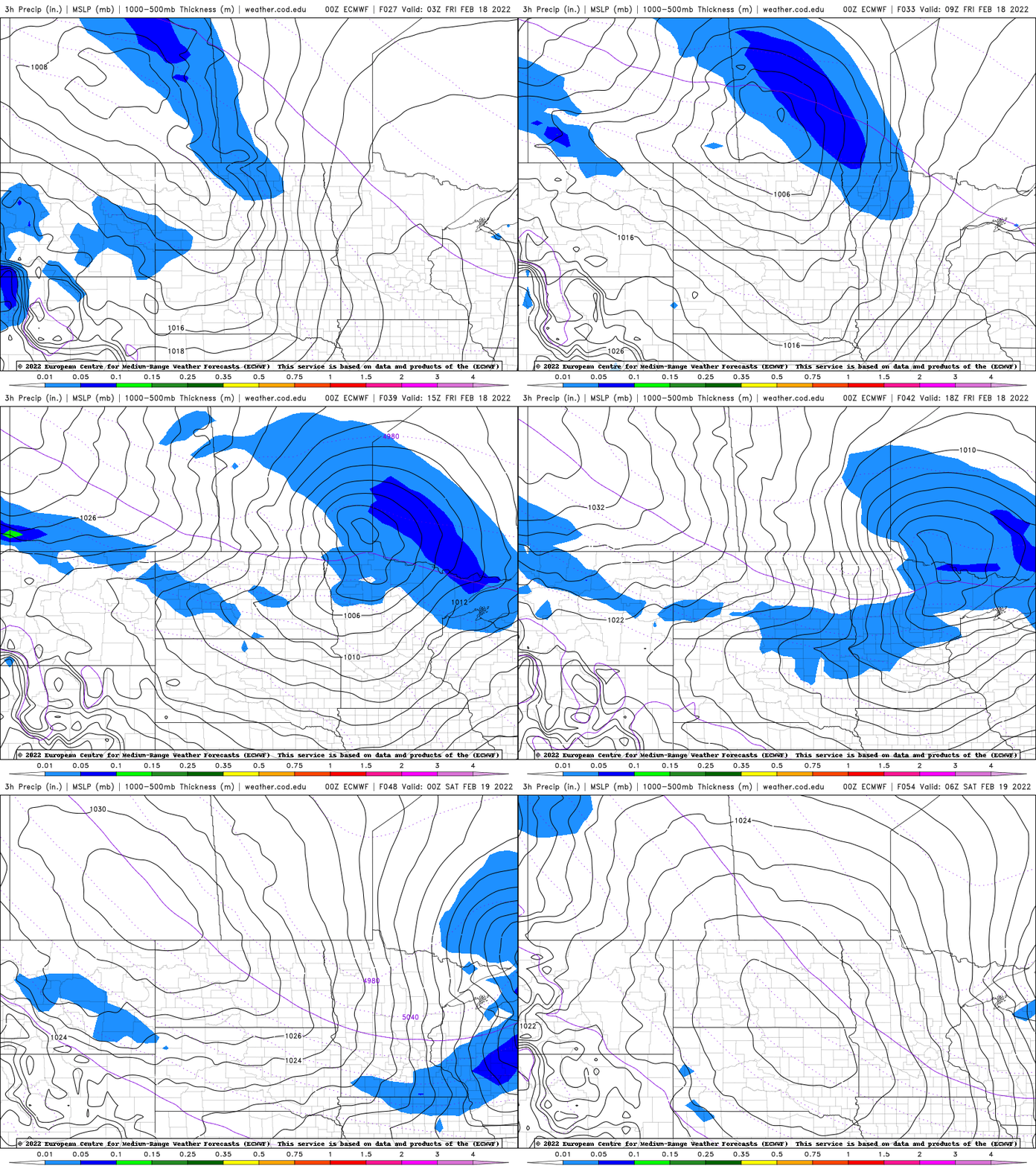
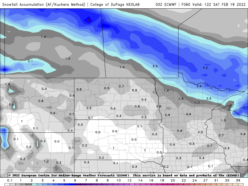
As much as 2 to 4 inches could fall on parts of the Iron Range up toward the international border. Southern Minnesota will likely just see a late afternoon/evening coating.
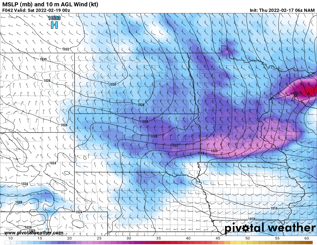
Behind the clipper, winds will really pick up. 20 to 30 mph winds with gusts of up to 50 mph in some places are possible Friday evening.
It will be slightly cooler Saturday before we are mild again Sunday with a chance of snow again Monday into Tuesday. That one could be more significant.