System brings high winds, snow, blizzard conditions

Go Deeper.
Create an account or log in to save stories.
Like this?
Thanks for liking this story! We have added it to a list of your favorite stories.


While the southern half of Minnesota will see rather little snowfall Friday, we’ll all get the intense wind with this low pressure sweeping across the state.
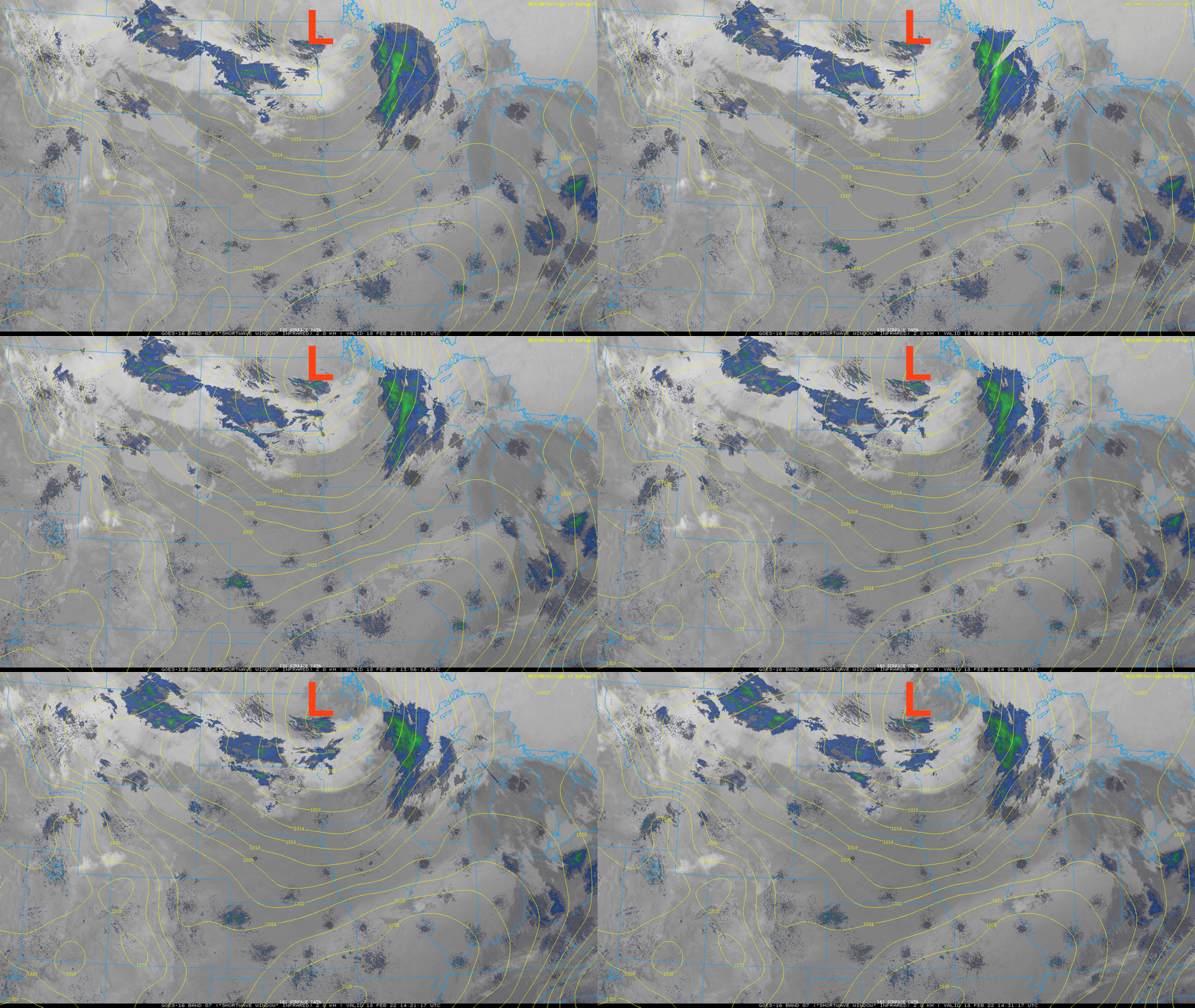
It’ll be the wind as much as anything creating issues. The highest winds will trail behind the center of low pressure from east to west and push southeast Friday through the day.
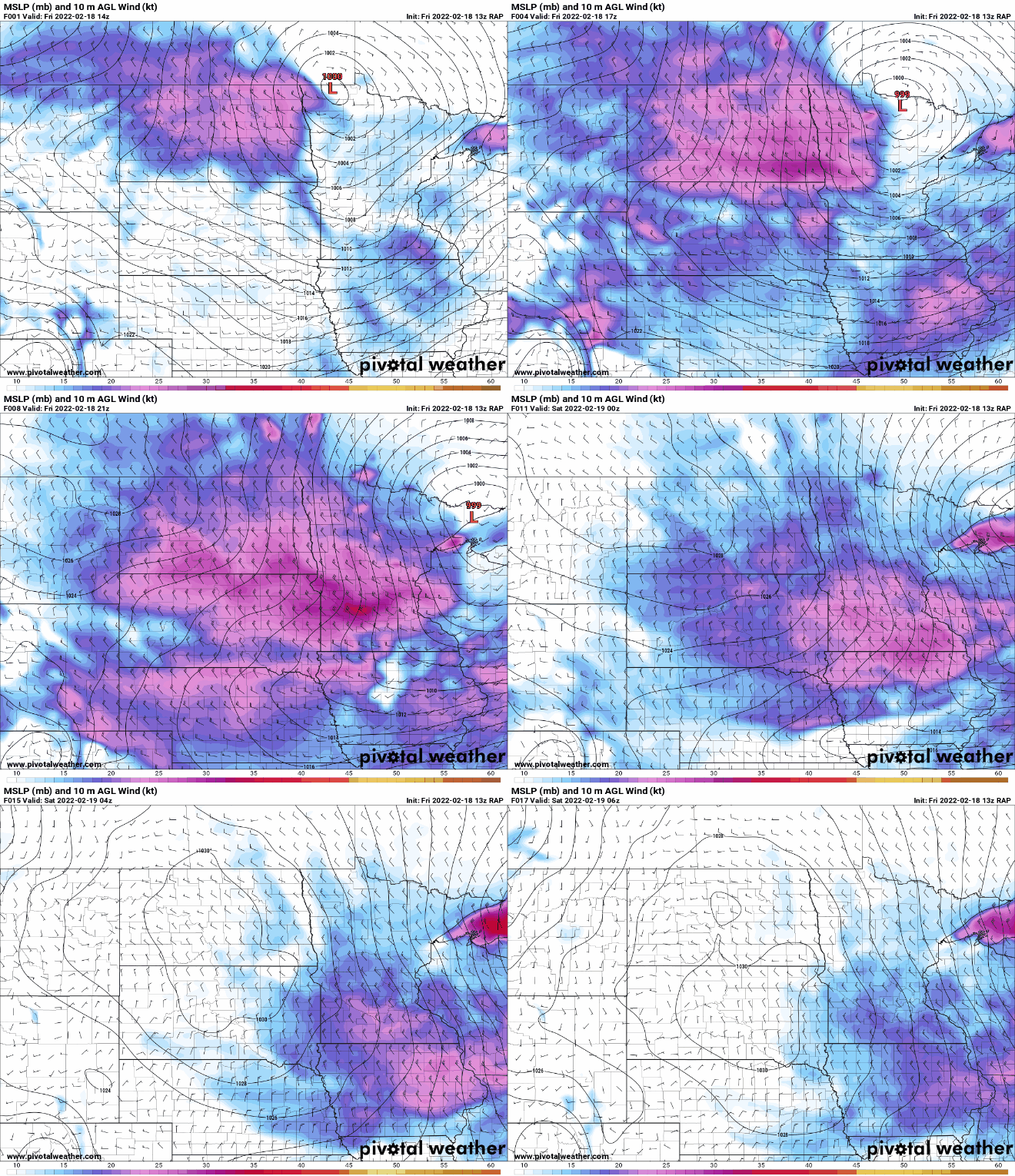
In northwest Minnesota, the 1 to 2 inches of snow will be whipped around by the highest wind speeds of up to 60 mph or even higher creating blizzard conditions.

The most significant snowfall amounts will be in northeast Minnesota. Parts of the north shore could see up to 5 inches, while most places see anywhere from 1 to 4 inches.
Turn Up Your Support
MPR News helps you turn down the noise and build shared understanding. Turn up your support for this public resource and keep trusted journalism accessible to all.

Farther south, the Twin Cities and much of southern Minnesota will only see a brief, midday coating of snow. Then the wind will really pick up in its wake this afternoon.

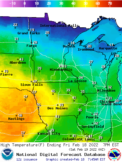
Temperatures will be mild Friday for a narrow window of time midday. Highs will reach the 30s in southern Minnesota and 20s north.
Behind Friday’s clipper and wind, it will be cooler Saturday, but not dramatically so. We’ll see highs mainly in the 20s south and teens north. Sunday will already be much warmer. Much of southern Minnesota will be near or into the 40s, with 30s spreading far into north-central Minnesota.
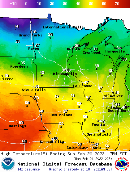
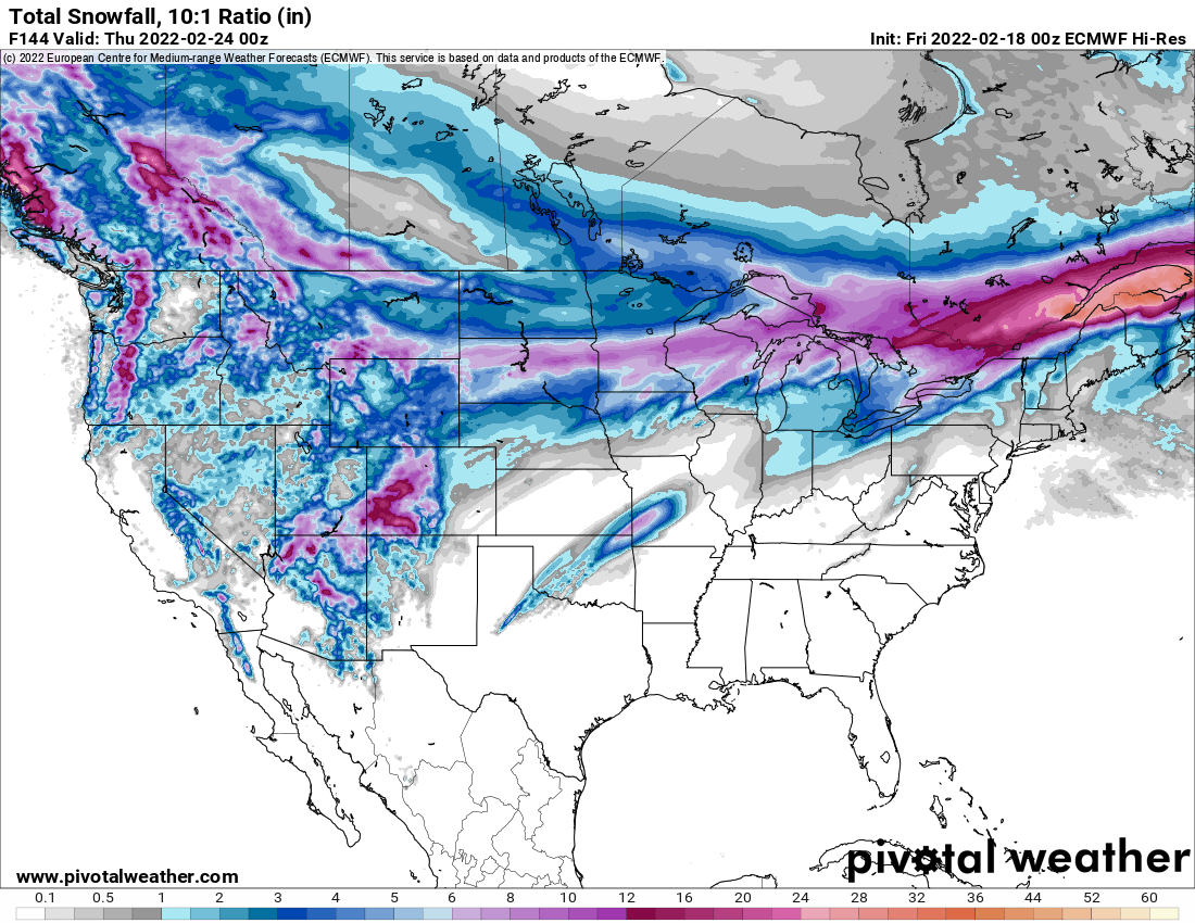
The big focus then is early to midweek next week. The odds are increasing of significant and prolonged snowfall. A plume of Gulf of Mexico moisture will meet with the edge of cold and milder air right across the upper Midwest leading to a narrow (north to south) but wide (west to east) area of snowfall starting early Monday morning and wrapping up late Tuesday night.
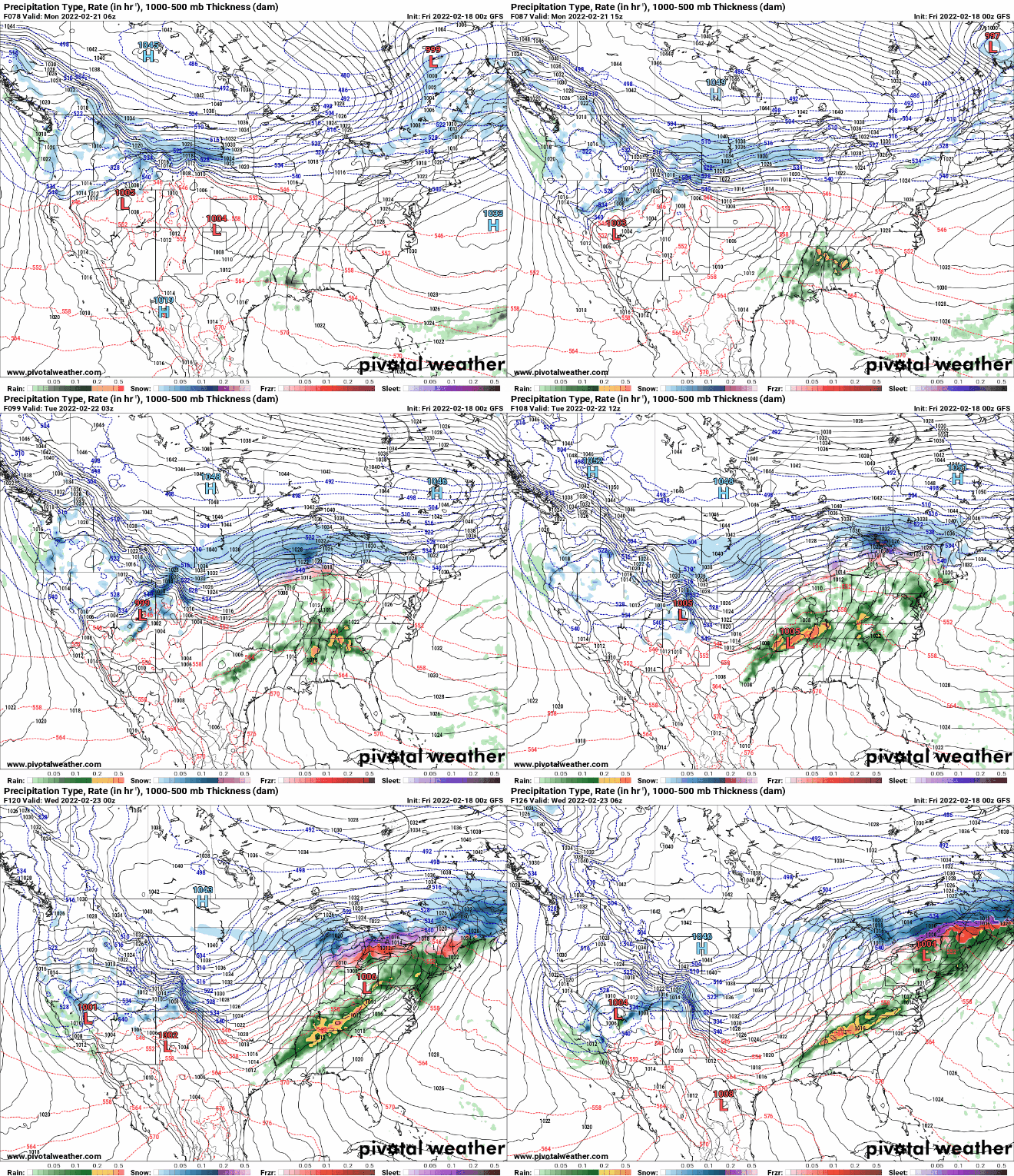
It’s entirely possible that some spots in Minnesota could end up with a two-day total of 12 or more inches of snow. The thing to watch will be where that cold/warm boundary sets up and what our ratio of snow to water is. We could see some pretty high ratios on the cold side of that boundary where snow will be fluffy and add up quickly.