
Heavy snow for central Minnesota Monday, statewide Tuesday
Go Deeper.
Create an account or log in to save stories.
Like this?
Thanks for liking this story! We have added it to a list of your favorite stories.


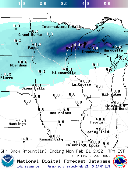
Most snow of any significance will remain in central and northern Minnesota into northwest Wisconsin Monday. Southeastern Minnesota could see a wintry mix of sleet and freezing drizzle late this afternoon and evening.

Areas under a winter storm warning for Monday and Tuesday will see the most snowfall.
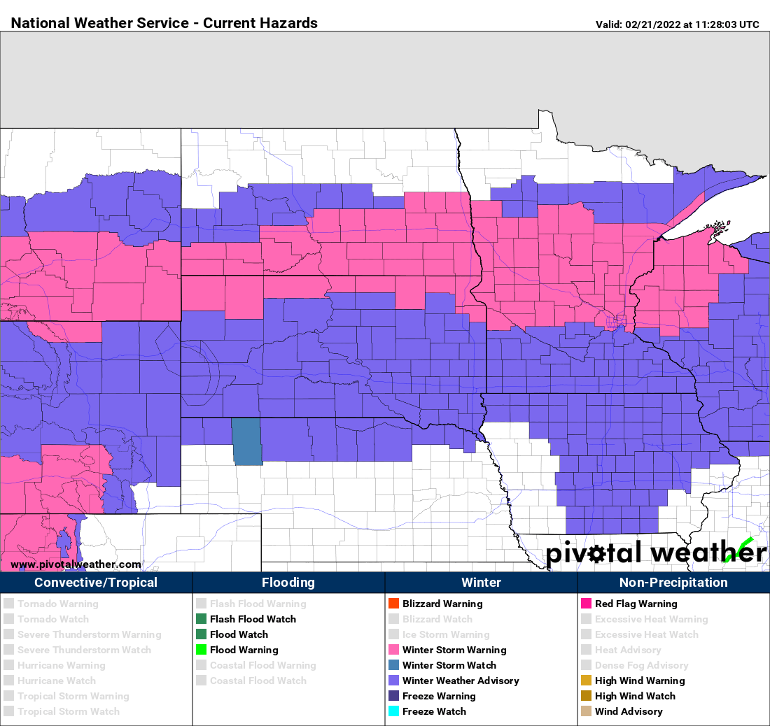
Total snowfall Monday will be significant in central and northern Minnesota where up to 8 inches will fall.

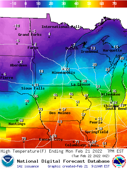
There will be a big contrast in temperatures Monday and Tuesday, which is what is helping to fuel the wide west to east, but narrow (north to south) snow.
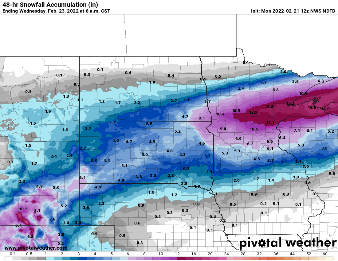
Overnight Monday, snow showers will be less intense but a second round of snow that will affect a larger area Tuesday will move in. That is when most of southern Minnesota and the Twin Cities will see a fast accumulating, fluffy snow. The Twin Cities can expect about 4 to 6 inches of snow Tuesday with some additional light accumulation Tuesday night. In total, portions of north central Minnesota will see 12 to 18 inches in some locations.
As the snow winds down, the cold will sink a little more south. Temperatures will be subzero for most of Minnesota come early Wednesday, Thursday, and Friday mornings.

Temperatures will remain well below normal (which is in the low 30s for the Twin Cities this week), largely in the teens south and single digits north. We should see 20s again by Saturday and above freezing readings again next week as we start March.
Turn Up Your Support
MPR News helps you turn down the noise and build shared understanding. Turn up your support for this public resource and keep trusted journalism accessible to all.

