Snowstorm recap; very cold Wednesday
Thursday p.m. snow potential
Go Deeper.
Create an account or log in to save stories.
Like this?
Thanks for liking this story! We have added it to a list of your favorite stories.
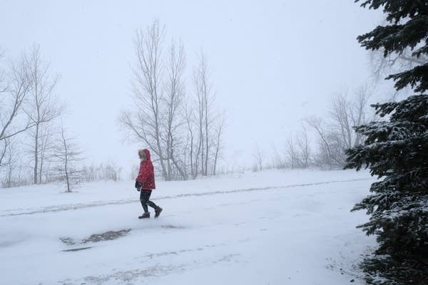
Tuesday’s snow total through 6 p.m. was 4.9 inches at the Minneapolis-St. Paul International Airport. This was the first day since Dec. 10, 2021, with 4 inches or more of snow at the airport.
I saw snow reports of 4.8 inches in Minneapolis, 6.8 inches in Cottage Grove, and 6.1 inches in Hudson, Wis. We’ll see more totals after the light snow ends.
Snow reports from Monday and Tuesday can be found here. This is how the National Weather Service snow report plot looked at 7 p.m. Tuesday:

You can go to the linked site and zoom in to see snow totals. Hovering over a given report on the linked site will give you the exact location and time of the snowfall measurement.
Turn Up Your Support
MPR News helps you turn down the noise and build shared understanding. Turn up your support for this public resource and keep trusted journalism accessible to all.
The two-digit snow totals that extend from central Minnesota into northeastern Minnesota and northwestern Wisconsin include the heavy snow from Monday.
Tuesday evening and overnight
Periods of light snow are possible Tuesday evening from the Twin Cities metro area into west-central Wisconsin. Additional snow accumulations will be over 1 inch in northeastern Minnesota and parts of of northwestern Wisconsin. The highest Tuesday night snow totals are expected in the portions of northwestern Wisconsin closest to Lake Superior.
A winter storm warning continues until 6 a.m. Wednesday in Wisconsin counties along the south shore of Lake Superior.

The winter storm warning in northeastern Minnesota expires at midnight Tuesday night.
Updated Minnesota road conditions can be found here. Wisconsin road conditions can be found here.
Cold temps
Lows will be well below zero across much of Minnesota late Tuesday night and early Wednesday morning:

Wind chill advisories cover much of northern and western Minnesota into Wednesday morning:


Portions of far northwestern Minnesota have a wind chill warning overnight and Wednesday morning for wind chills as low as minus 45 degrees.
Wednesday highs will be mainly in the single digits:

Thursday p.m. snow chances
A low pressure system will track to our southeast Thursday afternoon and evening, bringing a chance of light snow to southeastern Minnesota and parts of western Wisconsin.
The National Oceanic and Atmospheric Administration’s North American Mesoscale (NAM) forecast model shows the potential precipitation pattern from noon Thursday to 6 a.m. on Friday:

Temperature trends
Twin Cities metro area highs are expected to be in the mid-teens Thursday and Friday, followed by lower 30s Saturday and lower 20s Sunday. It’ll be a great weekend for outdoor activities!
Dear reader,
Your voice matters. And we want to hear it.
Will you help shape the future of Minnesota Public Radio by taking our short Listener Survey?
It only takes a few minutes, and your input helps us serve you better—whether it’s news, culture, or the conversations that matter most to Minnesotans.