
Bitter cold early Wednesday; more light snow possible Thursday
Go Deeper.
Create an account or log in to save stories.
Like this?
Thanks for liking this story! We have added it to a list of your favorite stories.


The fresh snow of the last couple days will keep us chilly Wednesday. While the sun is definitely stronger now in late February, up to 90 percent of it will be reflected away thanks to the bright, white, fresh snow. Twin Cities totals ranged from 3 to 6 inches mainly. We officially saw 5.1 inches at the Minneapolis-St. Paul International airport. That’s our biggest snowfall in two months.

The highest totals were near Lake Superior where lake enhancement really boosted totals. As much as 30 inches fell in Washburn, Wis.

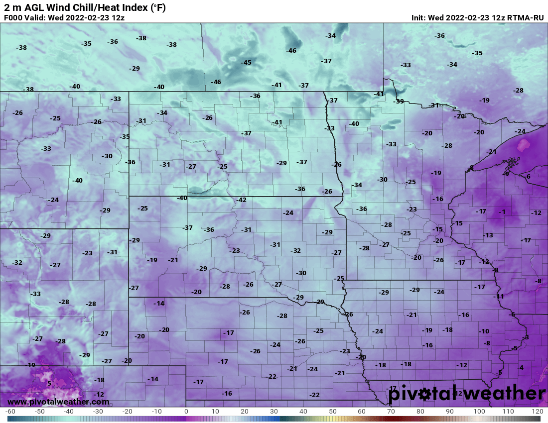
It’s a cold start early Wednesday with temperatures subzero statewide mainly and wind chill values ranging from 10 to 20 below zero in the south to as cold as 40 below zero in northwest Minnesota.
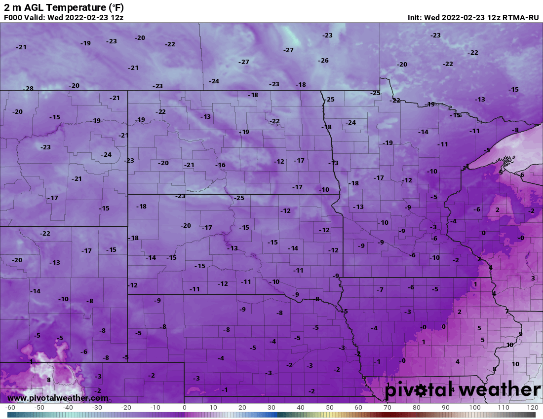
Highs Wednesday afternoon will only be in the single digits and parts of northern Minnesota will stay subzero.

Expect another cold night Wednesday night with lows early Thursday, once again, below zero for most.

We have another shot at light snow on Thursday. It will be a mainly afternoon/evening snowfall. Some spots in southern Minnesota could see 1 to 2 inches, while the Twin Cities likely sees 1 inch or less.

We should see temperatures rebound by the weekend with highs near freezing by Saturday.
Turn Up Your Support
MPR News helps you turn down the noise and build shared understanding. Turn up your support for this public resource and keep trusted journalism accessible to all.

