Light snow, chilly Thursday; early March warmup ahead
Go Deeper.
Create an account or log in to save stories.
Like this?
Thanks for liking this story! We have added it to a list of your favorite stories.


High temperatures Wednesday managed to make it to the low teens in a couple of spots, including the Twin Cities. Most places were in the single digits. Some spots in northwestern Minnesota stayed below zero all day.
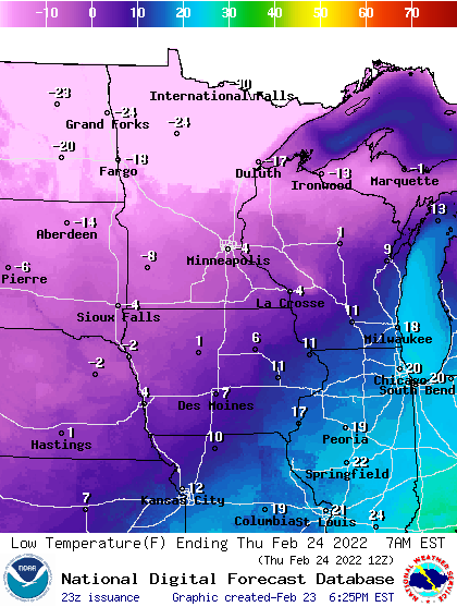
It will be cold overnight Wednesday into early Thursday again. Temperatures will be subzero statewide.
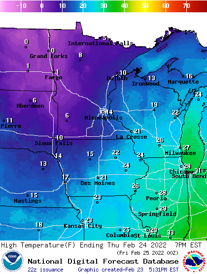
High temperatures Thursday afternoon will once again be chilly, with most places nearly 20 degrees below normal.
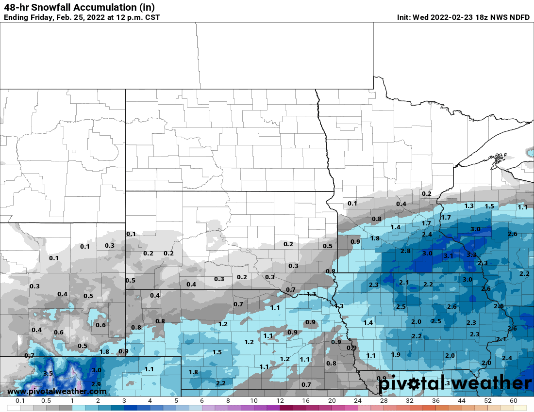
A larger storm system to our south will graze the southern third of Minnesota into western Wisconsin, bringing some snow but not a repeat of Tuesday. The snow starts in the early afternoon for the Twin Cities through the evening hours.
Turn Up Your Support
MPR News helps you turn down the noise and build shared understanding. Turn up your support for this public resource and keep trusted journalism accessible to all.
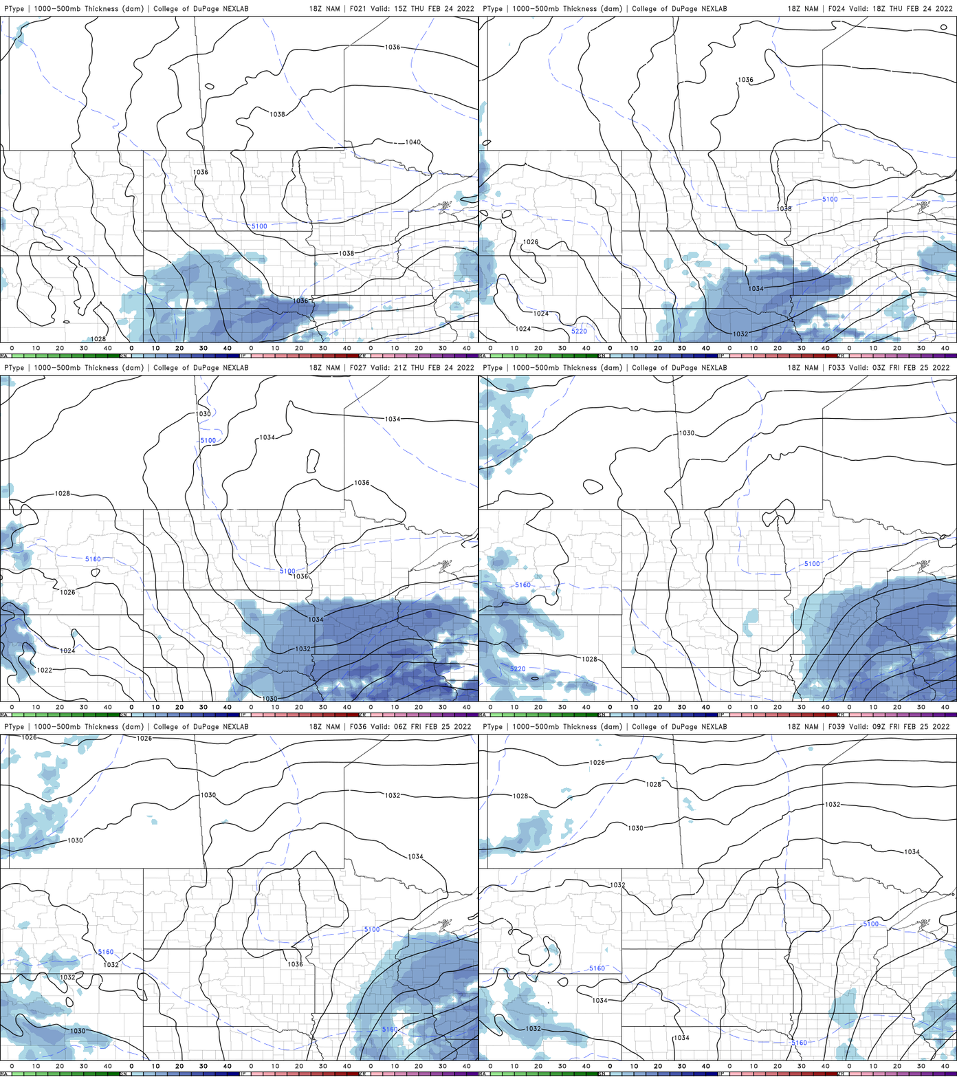
Most of the Twin Cities stands to see about 1 inch of snow but parts of southeastern Minnesota could see 2 to 3 inches with even isolated 4-inch amounts.
Friday will yield another chilly day, but by Saturday we see temperatures climb to seasonable levels; low 30s in the south and 20s north.
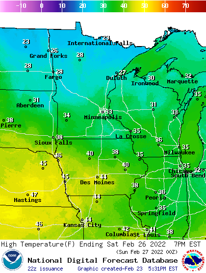
Sunday will be just a few degrees cooler and both days will see sunshine. It will be the perfect weekend (and perhaps one of the last?) to enjoy the fresh snowpack.
Warmup near?
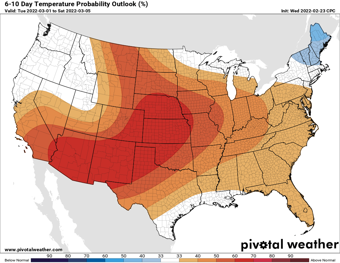
The computer models increasingly are hinting at a warmer pattern next week. We’ll likely be consistently above freezing, but also two of the three longer-range models are forecasting our first 50-degree high temperature!
The normal date for the first 50 is March 2, so this would be almost on schedule.
The climate prediction center is forecasting above-normal temperatures as well for next week as we begin the month of March.