
Cooler Thursday; wintry mix Friday night with thunder Saturday?

Go Deeper.
Create an account or log in to save stories.
Like this?
Thanks for liking this story! We have added it to a list of your favorite stories.


It feels like winter is back after several milder days. Temperatures are below zero all across northern Minnesota and back in the teens in the south. It’ll be a cooler day with highs in the 20s in the south and teens in the north. There’s also some light snow in the far southwest corner of Minnesota early morning.

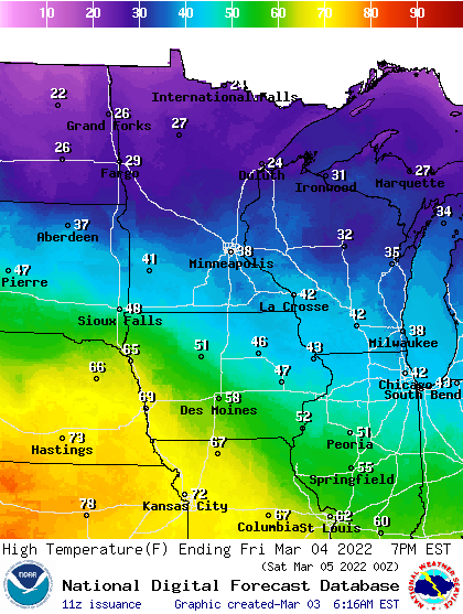
Highs will be warmer Friday, back in the 30s to near 40 south and 20s north.
The bigger story is the storm system arriving Friday night bringing a wintry mix of sleet, freezing drizzle and some snow showers mixed with rain. It will transition to rain on Saturday in the south with even some thunder possible before turning to some snow Saturday night.
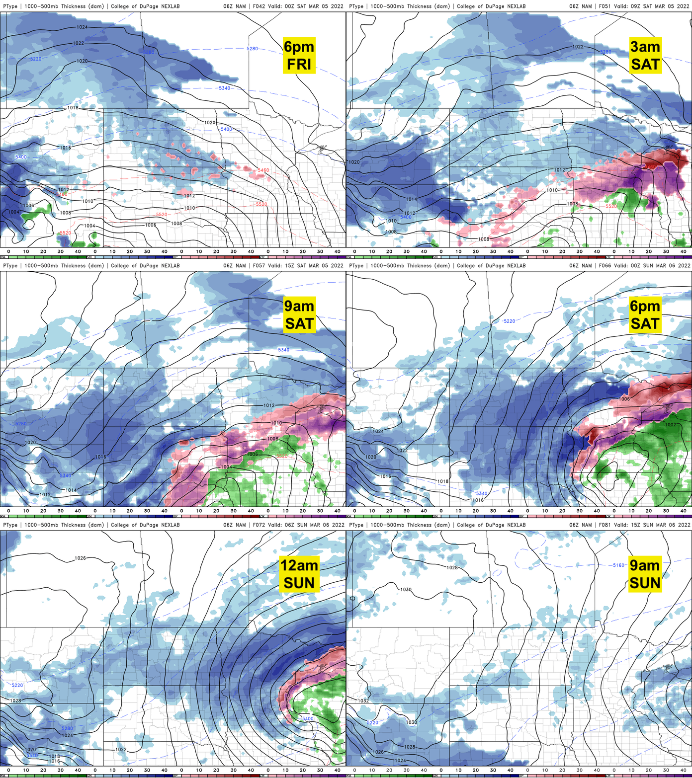
The best chances of heavy, significant snow will be across west-central Minnesota through northern Minnesota.

Turn Up Your Support
MPR News helps you turn down the noise and build shared understanding. Turn up your support for this public resource and keep trusted journalism accessible to all.

