
Cool Monday, milder Tuesday, then the cold bites again

Go Deeper.
Create an account or log in to save stories.
Like this?
Thanks for liking this story! We have added it to a list of your favorite stories.


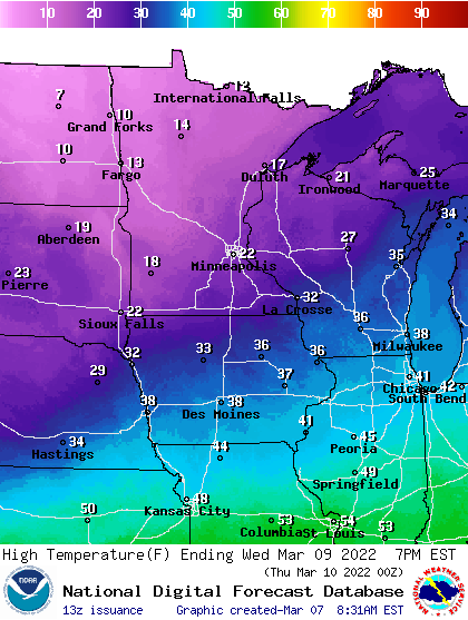
Minnesota sees sunshine Monday with temperatures primarily in the 20s to near 30. Tuesday will be the warmest day of the week, with temperatures in the 30s for most of the state.
Temps fall after that. The Twin Cities might not crack 20 degrees Friday or Saturday. We should see temperatures back into the 30s and 40s by Sunday
Chilly, mild, cold, really cold
We’re in for a case of winter whiplash this week as far as temperatures are concerned. Monday brings a nice quiet day day with sunshine, though temperatures will be cooler than normal. Expect highs in the 20s for most of us. The normal high is about 37 in the Twin Cities.

Overnight Monday night temperatures will again be on the chilly side of normal mainly in the teens.
Turn Up Your Support
MPR News helps you turn down the noise and build shared understanding. Turn up your support for this public resource and keep trusted journalism accessible to all.

Tuesday brings a temporarily mild day for most of central and southern Minnesota. Colder air will already be moving into northern Minnesota but highs in the southern half of the state will be well into the 30s, even near 40 with the Minnesota-Iowa border.

That cold front Tuesday will touch off snow showers across northern Minnesota, where up a coating to 1 inch could fall in some spots. As the front moves southeast, we’ll see mainly just flurries and a few light snow showers in the south.
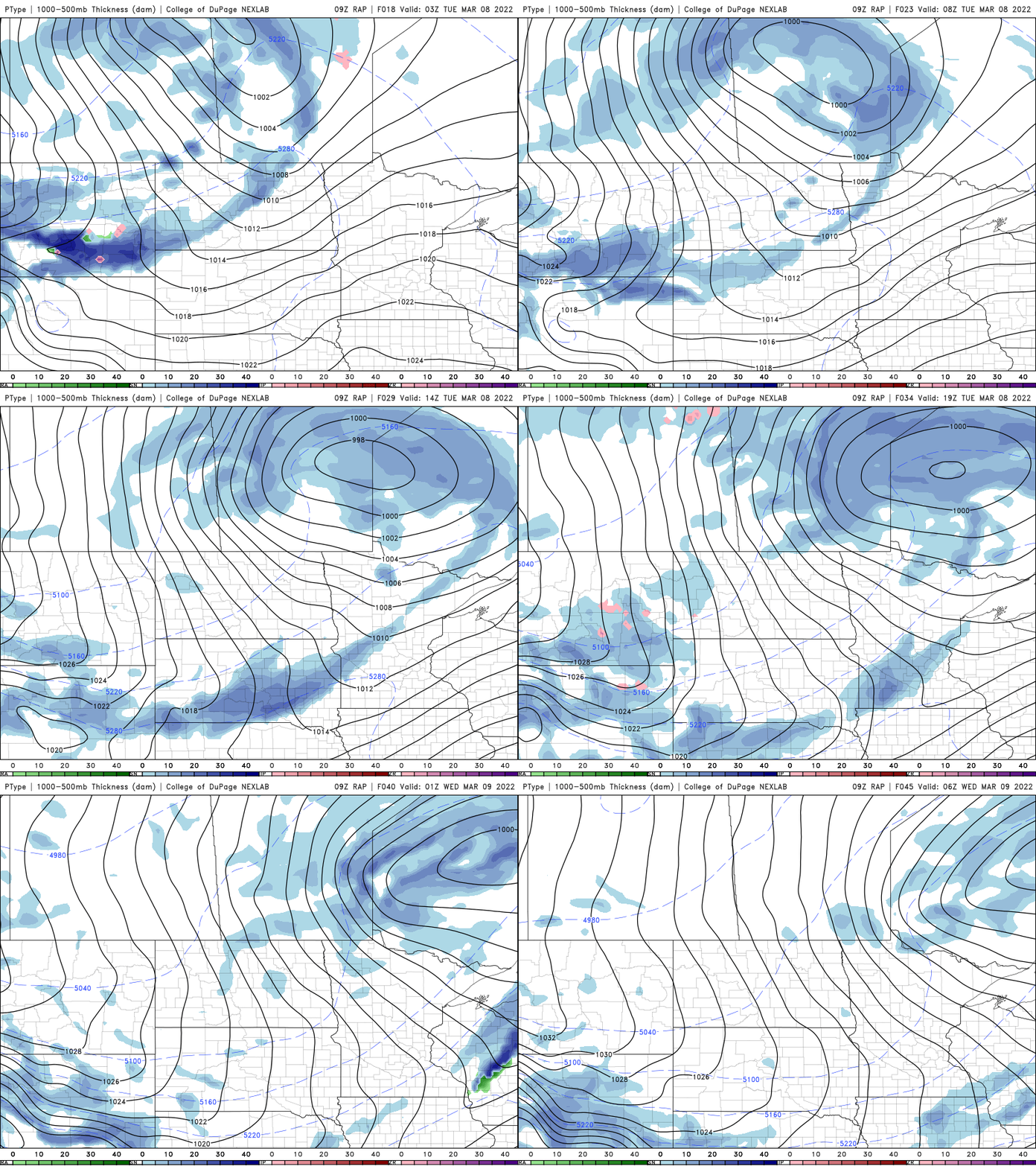
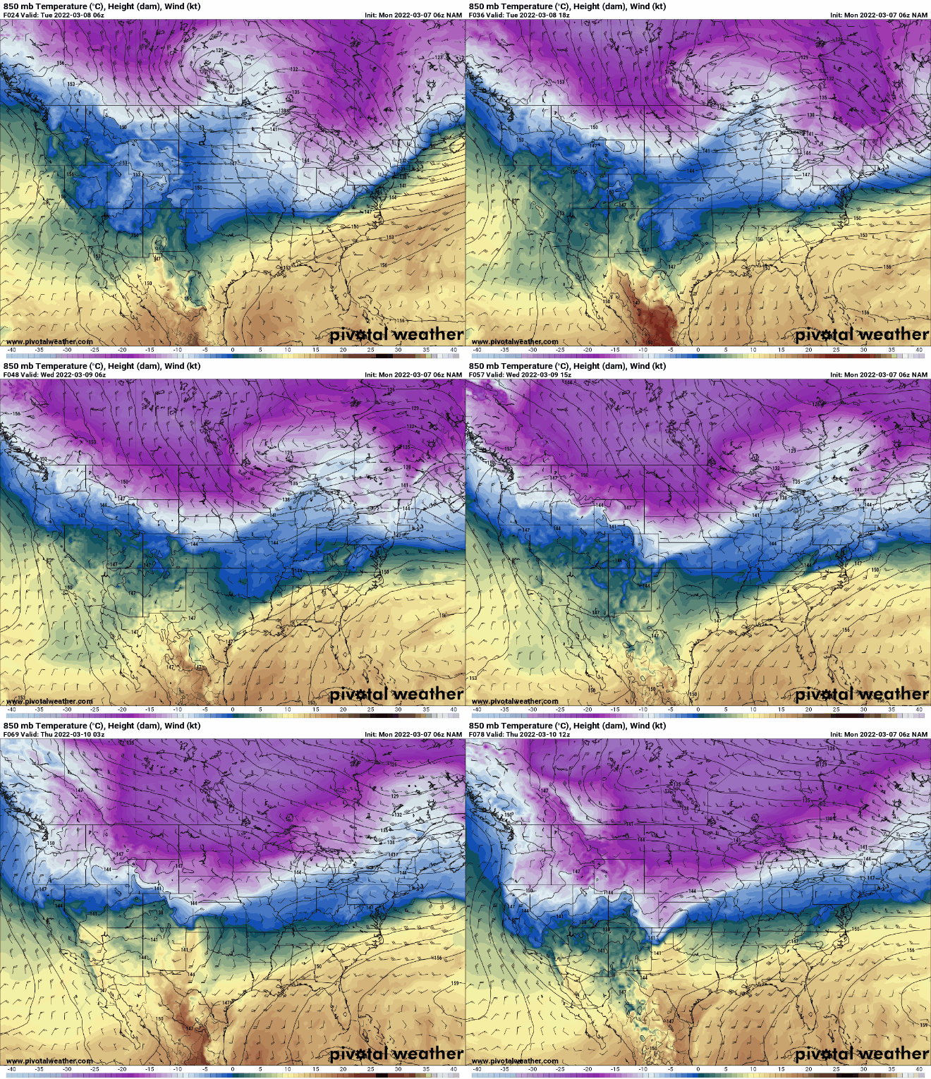
We have two shots of cold moving through. That first one Tuesday night will drop temperatures into the teens and 20s for Wednesday’s highs.
A second blast of even slightly colder air will determine the track of the next, more significant system. As colder air dives south that will push the overall storm track south as well.
Snow will fall mainly in Iowa and perhaps the southern most counties of Minnesota Thursday.
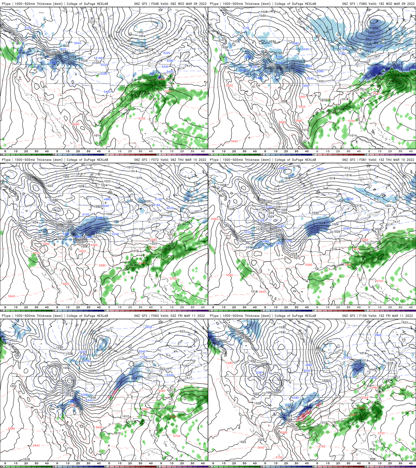
Temperatures will drop even a bit more for most of Minnesota for Friday and Saturday. We may not even crack 20 in the Twin Cities Friday or Saturday and our coldest low temperatures are likely to come Friday and Saturday mornings when most of northern Minnesota will be below zero.
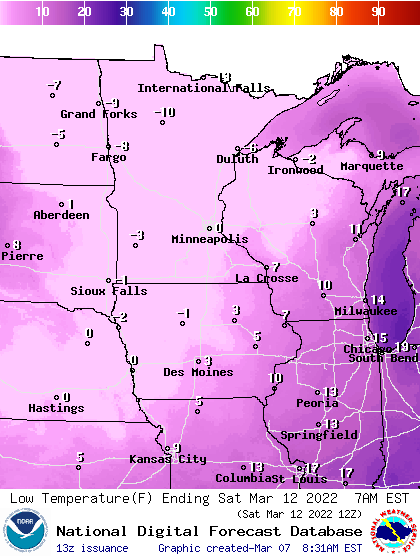
We should see temperatures back into the 30s and 40s by Sunday and milder overall again next week.

