
A milder start and day Tuesday, colder Wednesday
Go Deeper.
Create an account or log in to save stories.
Like this?
Thanks for liking this story! We have added it to a list of your favorite stories.


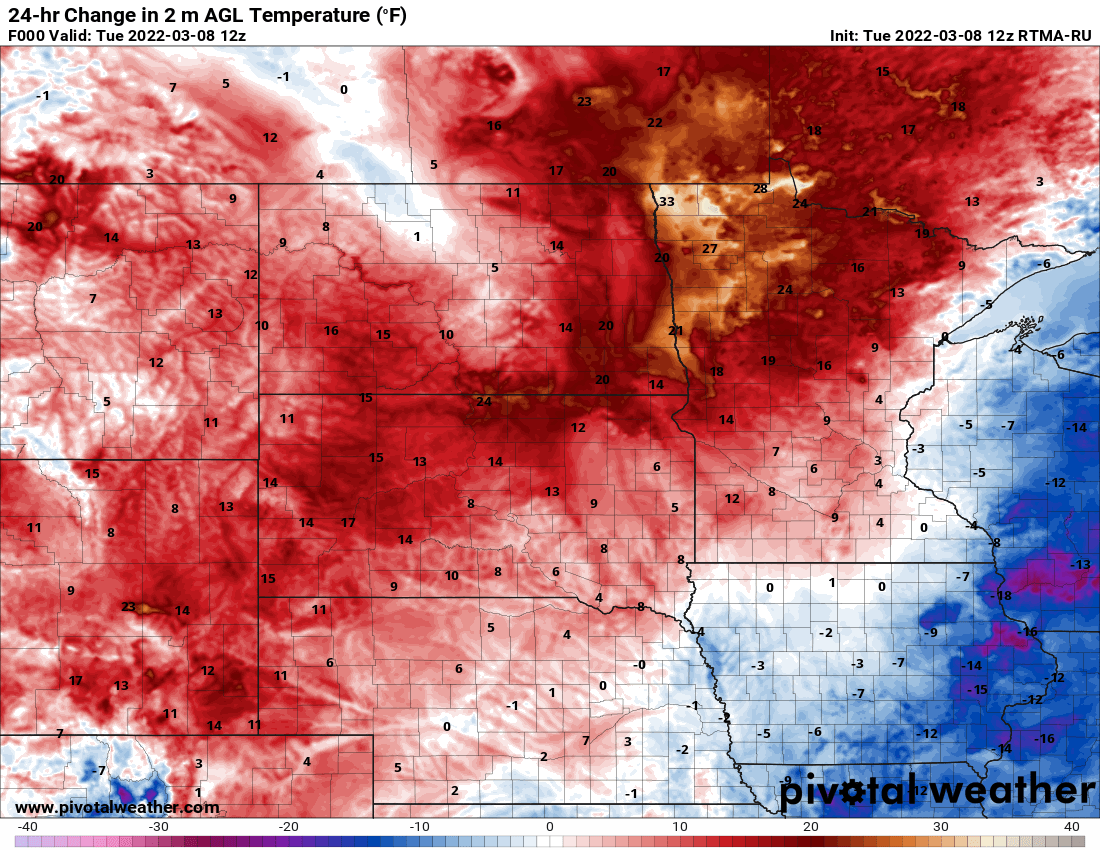
The roller coaster of temperatures is set in motion Tuesday. It will be a milder day Tuesday with morning temperatures already up considerably from Monday for northern and western Minnesota.
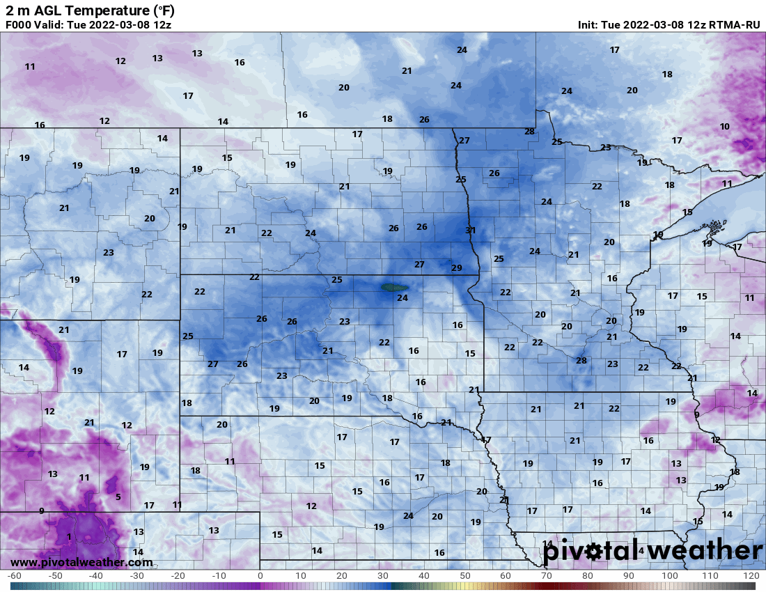
We’ll see highs in the 30s for most of the state to near 40 in the south.

A cold front is already moving out of North Dakota into northwest Minnesota. It will produce some light snow showers and flurries ahead of it by late this morning in the north and later in the afternoon in the south.

Most accumulations will be in the dusting to one-half-inch range at most.

Behind the cold front, temperatures will be cooler Tuesday night into early Wednesday.

Wednesday will see a return to high temperatures in just the teens and 20s, a full 15 degrees colder than normal for the date.

The colder pattern still looks to push the next system of significance south Thursday into Iowa and northern Missouri into Illinois. We stay chilly through Saturday before 40 degrees returns for many by Sunday.
Turn Up Your Support
MPR News helps you turn down the noise and build shared understanding. Turn up your support for this public resource and keep trusted journalism accessible to all.

