
Drizzle and snow showers Monday morning; first 50 Tuesday
A fresh coating of snow and drizzle gives way to milder weather

Go Deeper.
Create an account or log in to save stories.
Like this?
Thanks for liking this story! We have added it to a list of your favorite stories.


Winter is giving us a little reminder Monday morning that despite the spring like temperatures this week, it’s far from solidly spring across Minnesota just yet.
We’ll have scattered snow showers, mixing with drizzle/light rain across the Twin Cities with mainly all snow in central Minnesota. Temperatures from the Twin Cities heading south are near or above freezing early Monday morning.
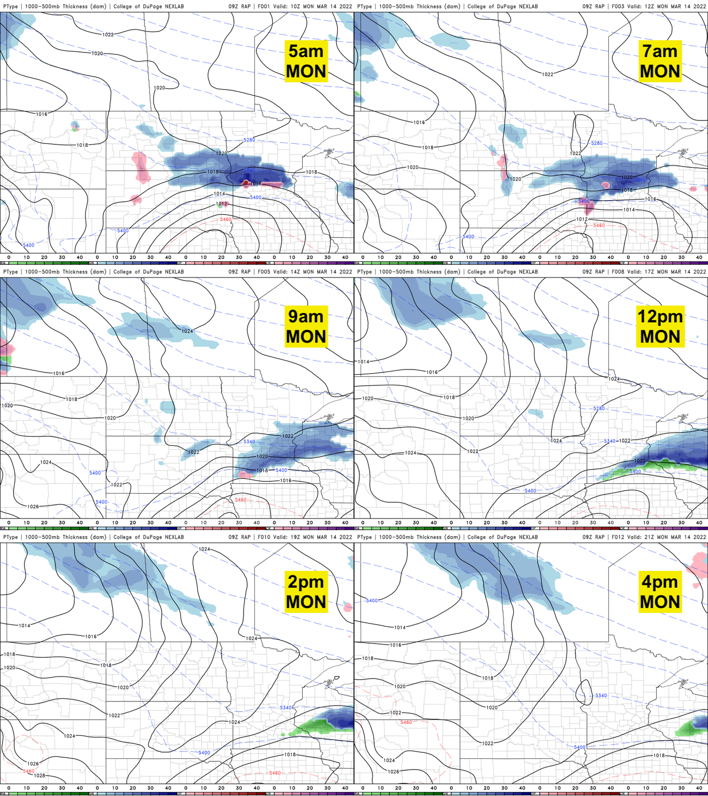
Some areas from St. Cloud to North Branch to Balsam Lake, Wis., could see up to 2 to 3 inches of snowfall. Most of the Twin Cities will see 1 inch or less of snow, though some northern suburbs could see 1 to 2 inches.

Highs Monday afternoon will be slightly cooler than Sunday with the cloud cover. Expect mainly low 40s south to near 30 north.

Sunshine and much warmer temperatures settle in for Tuesday. Highs will be near 50 for the Twin Cities (for the first time this season) and near 60 in southwest Minnesota, while northern Minnesota sees high temperatures in the 40s.

We’ll be even warmer Wednesday with highs well into the 50s and more widespread low 60s across southern Minnesota. The pattern remains overall dry and quiet the remainder of the week.
Turn Up Your Support
MPR News helps you turn down the noise and build shared understanding. Turn up your support for this public resource and keep trusted journalism accessible to all.

