
Cool still Thursday; more rain/snow Friday
North winds continue to keep things cool and decrease cloud cover
Go Deeper.
Create an account or log in to save stories.
Like this?
Thanks for liking this story! We have added it to a list of your favorite stories.


The large storm system that’s given Minnesota rain, snow and ice the last couple days will ease its grip as it slowly pulls away. There will be a few leftover rain/snow showers Thursday morning rotating in from northeast to southwest but the whole system will overall continue east.
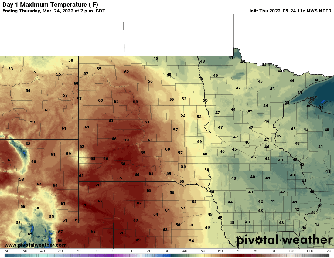
We’ll see clearing skies working its way from northeast to southwest too. Clearing skies may not reach the Twin Cities until very late in the day.
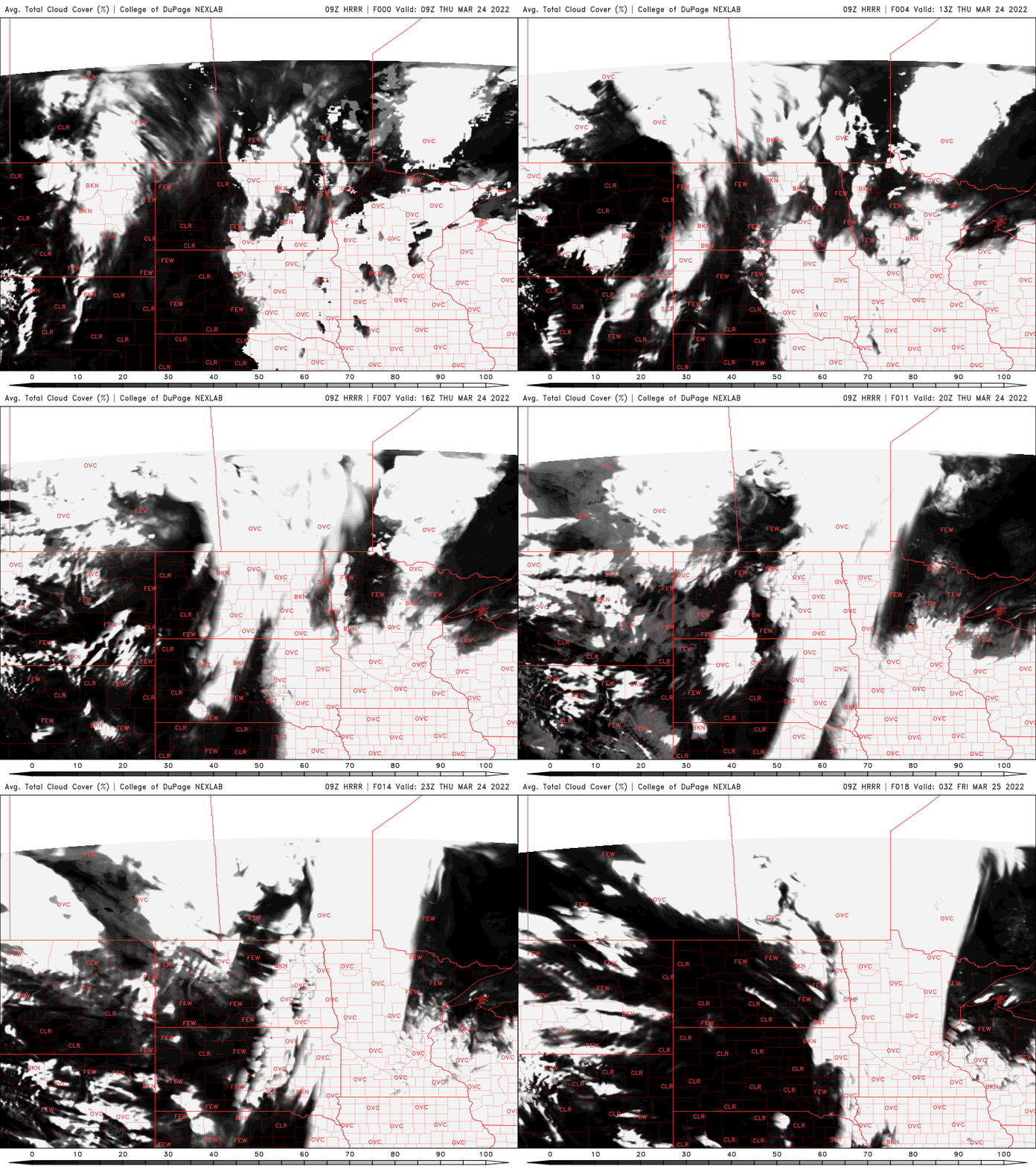
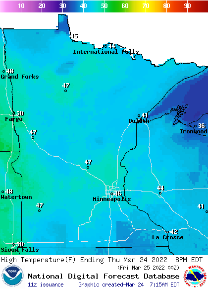
Temperatures will remain on the cool side (but closer to normal), but will actually be several degrees warmer Thursday thanks to drier conditions and the departure of cold air aloft.
A fast-moving clipper system will bring the next chance of precipitation already Friday. While we’ll be on the warm side of the clipper early Friday we’ll mainly see a few rain showers south, snow showers north then scattered snow showers later in the day as cold air flows into the system’s wake.
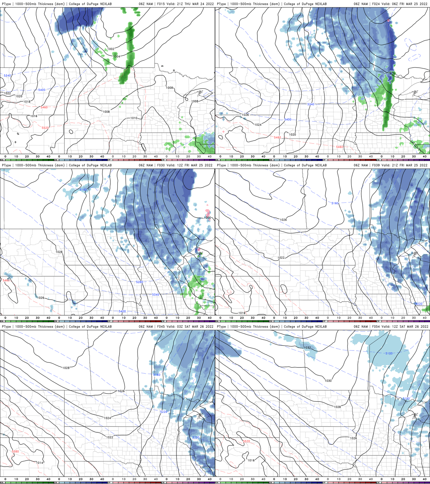
The best chance of snowfall will be in northeast Minnesota again, but we could see some slush on the grass Friday.
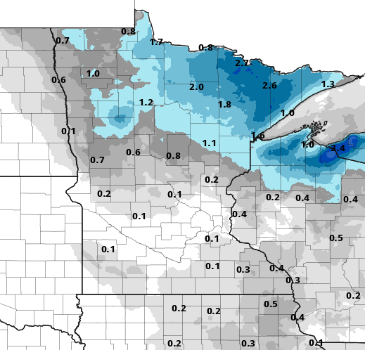
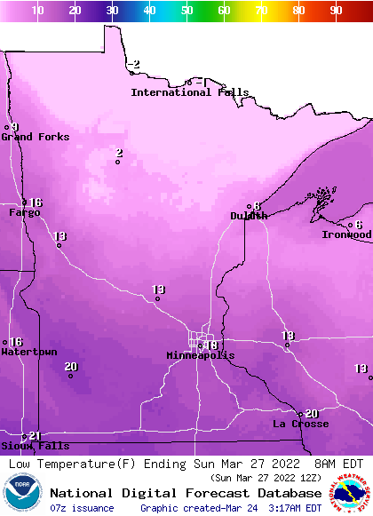
We’re even colder heading into the weekend as the clipper draws down some pretty chilly air. Highs even in the Twin Cities will be just in the upper 30s Saturday and Sunday, 20s north. Overnight lows will slip into the teens south and single digits across northern Minnesota.
We could be dealing with another storm system midweek next week as well as March winds down.
Turn Up Your Support
MPR News helps you turn down the noise and build shared understanding. Turn up your support for this public resource and keep trusted journalism accessible to all.

