
Another spring storm takes aim at Minnesota
A milder Monday with rain, wintry mix on the way late Tuesday
Go Deeper.
Create an account or log in to save stories.
Like this?
Thanks for liking this story! We have added it to a list of your favorite stories.


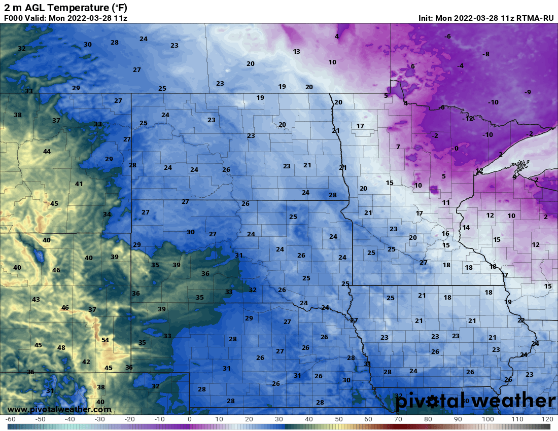
It’s another chilly morning across the region early Monday but we’ll see the weekend’s coldest air retreat north and east allowing for temperatures to warm up some.
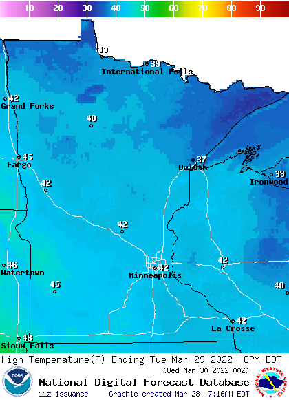
Highs will be in the low 40s south and 30s north Monday with a mix of sunshine and some high/mid level clouds.

Tuesday will bring warmer temperatures with increasing clouds ahead of another major spring storm.
A wintry mix of rain (south), possible ice (east central) and snow (northeast) will develop Tuesday night into Wednesday, gradually turning to snow for all by Wednesday evening into Thursday.
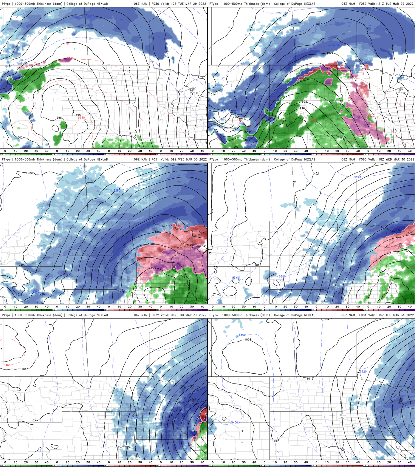
Southern Minnesota into western Wisconsin stands to see near 1 inch of precipitation and some snow by late Wednesday into Thursday. Northern Minnesota has the best chance of significant snow totals.

Turn Up Your Support
MPR News helps you turn down the noise and build shared understanding. Turn up your support for this public resource and keep trusted journalism accessible to all.

