Midweek mess on the way: Rain south, ice and snow north
Go Deeper.
Create an account or log in to save stories.
Like this?
Thanks for liking this story! We have added it to a list of your favorite stories.


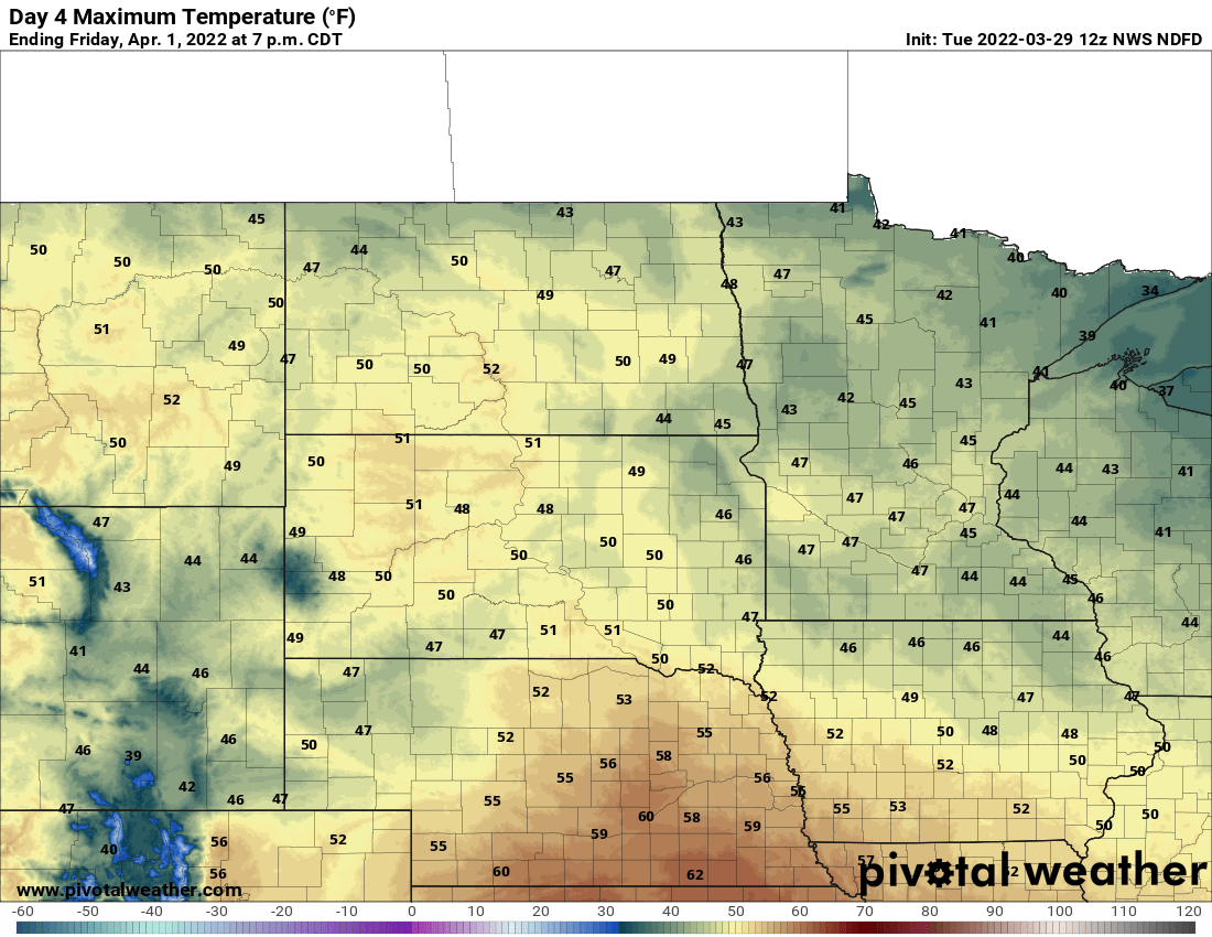
A windy, milder Tuesday gives way to evening rain. Most will see highs in the 40s. Rain may turn to ice north of the Twin Cities. Snow will fall across northern Minnesota Tuesday night into Wednesday. Warmer air is still on track for the weekend with highs near 50.
Midweek mess
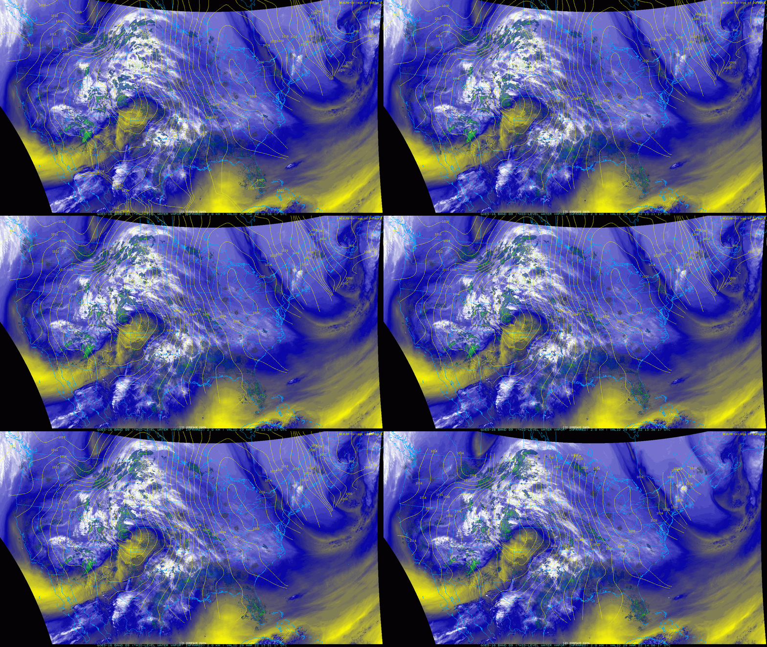
It was already warmer early Tuesday as a spring storm draws air north ahead of it. Moisture will fill in quickly as the storm tracks east toward Minnesota.
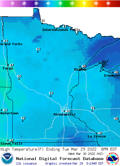
Highs Tuesday afternoon will be in the 40s for most.
Rain showers will march north out of Iowa by Tuesday evening. We could even have some lightning and thunder in southern Minnesota.
Turn Up Your Support
MPR News helps you turn down the noise and build shared understanding. Turn up your support for this public resource and keep trusted journalism accessible to all.
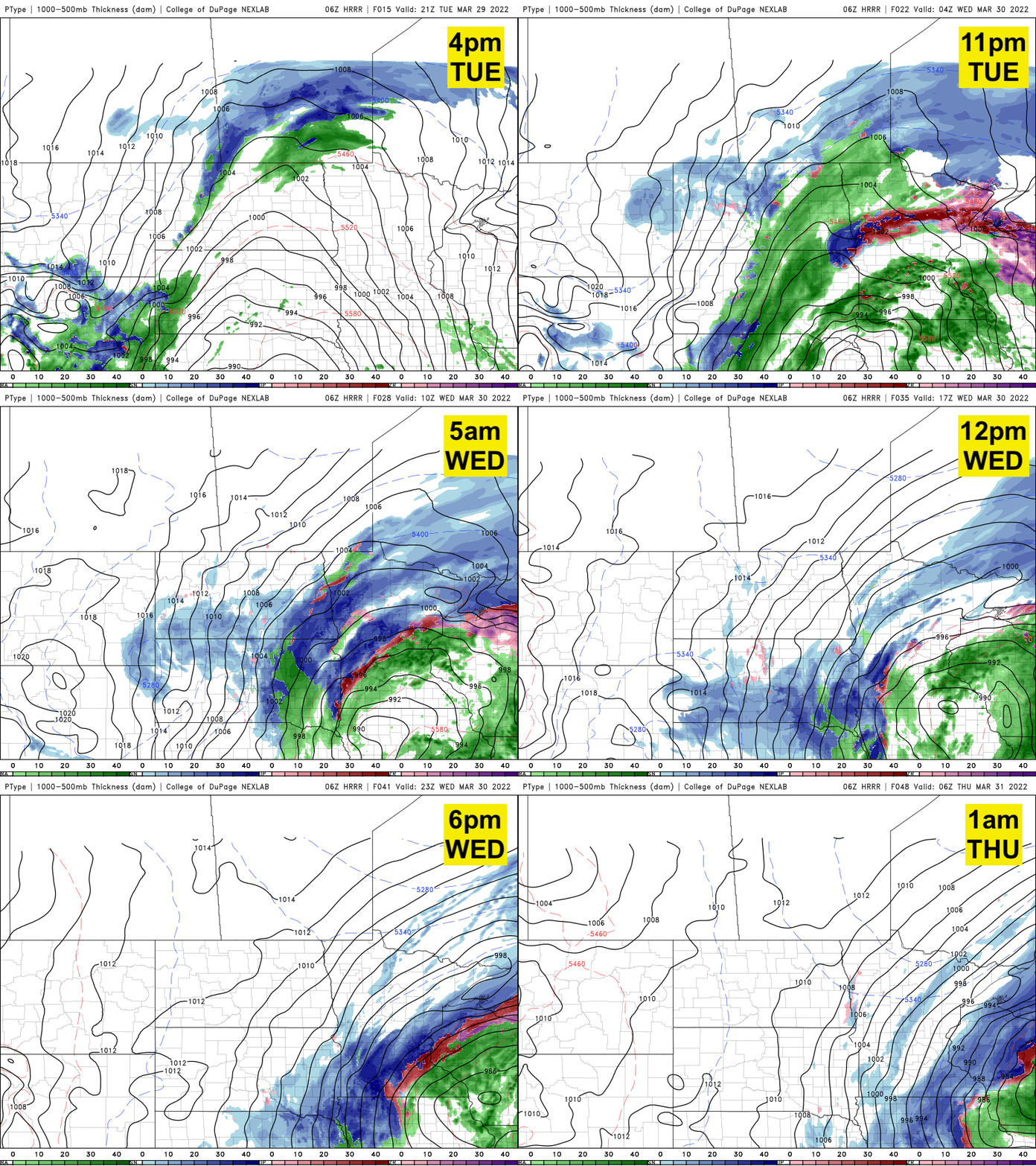
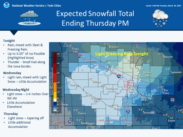
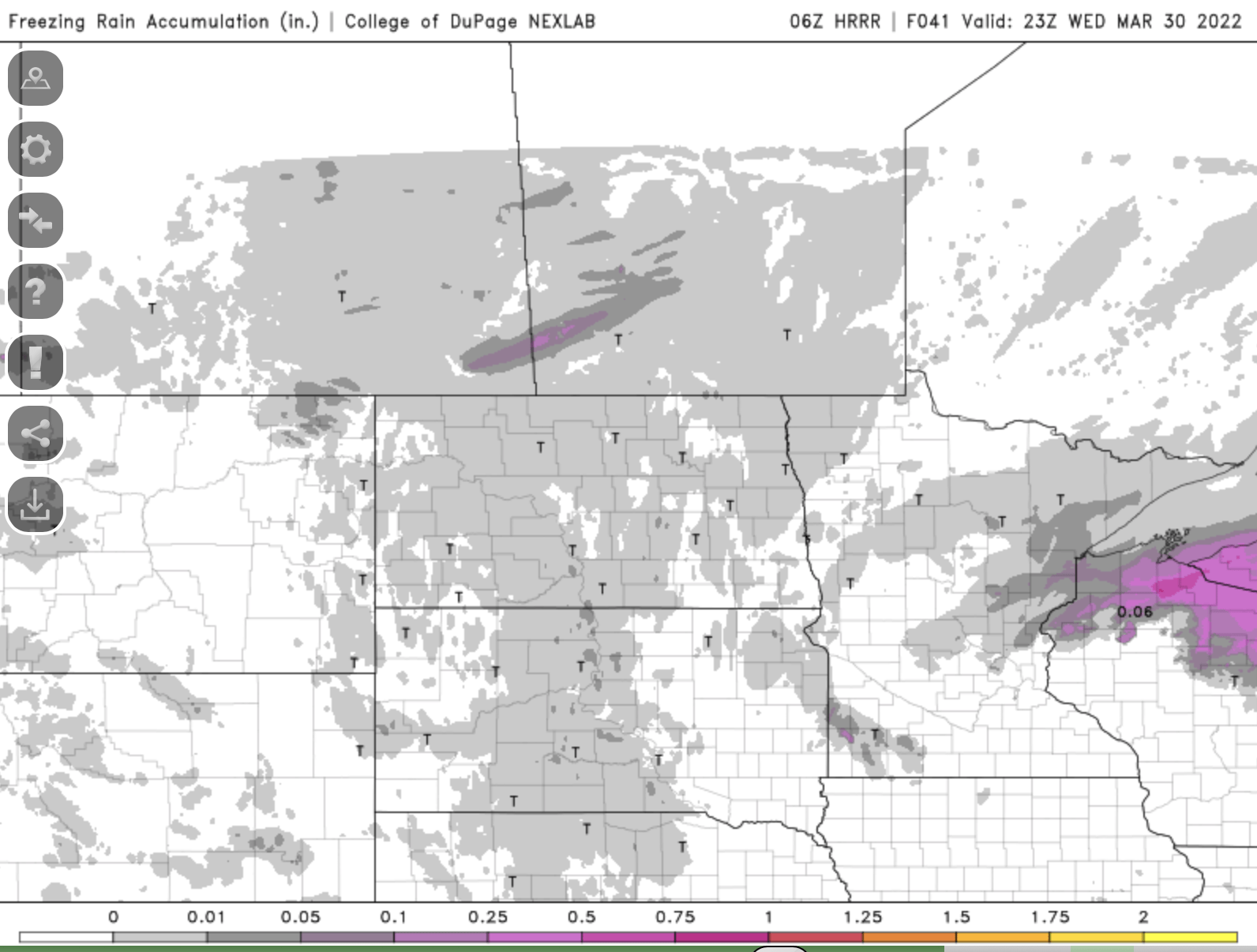
As temperatures drop Tuesday night, the potential for ice exists in east central Minnesota up the North Shore.
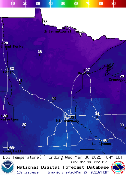
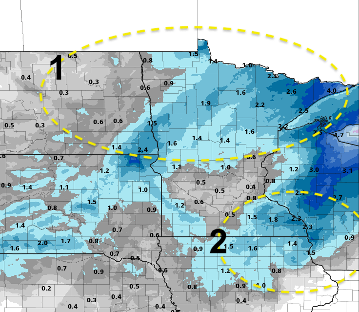
Snowfall will come in two rounds with this storm system. The first round will fall mainly across the northern third of Minnesota Tuesday night into Wednesday morning. The second develops late Wednesday into Wednesday night across southeastern Minnesota into western Wisconsin.
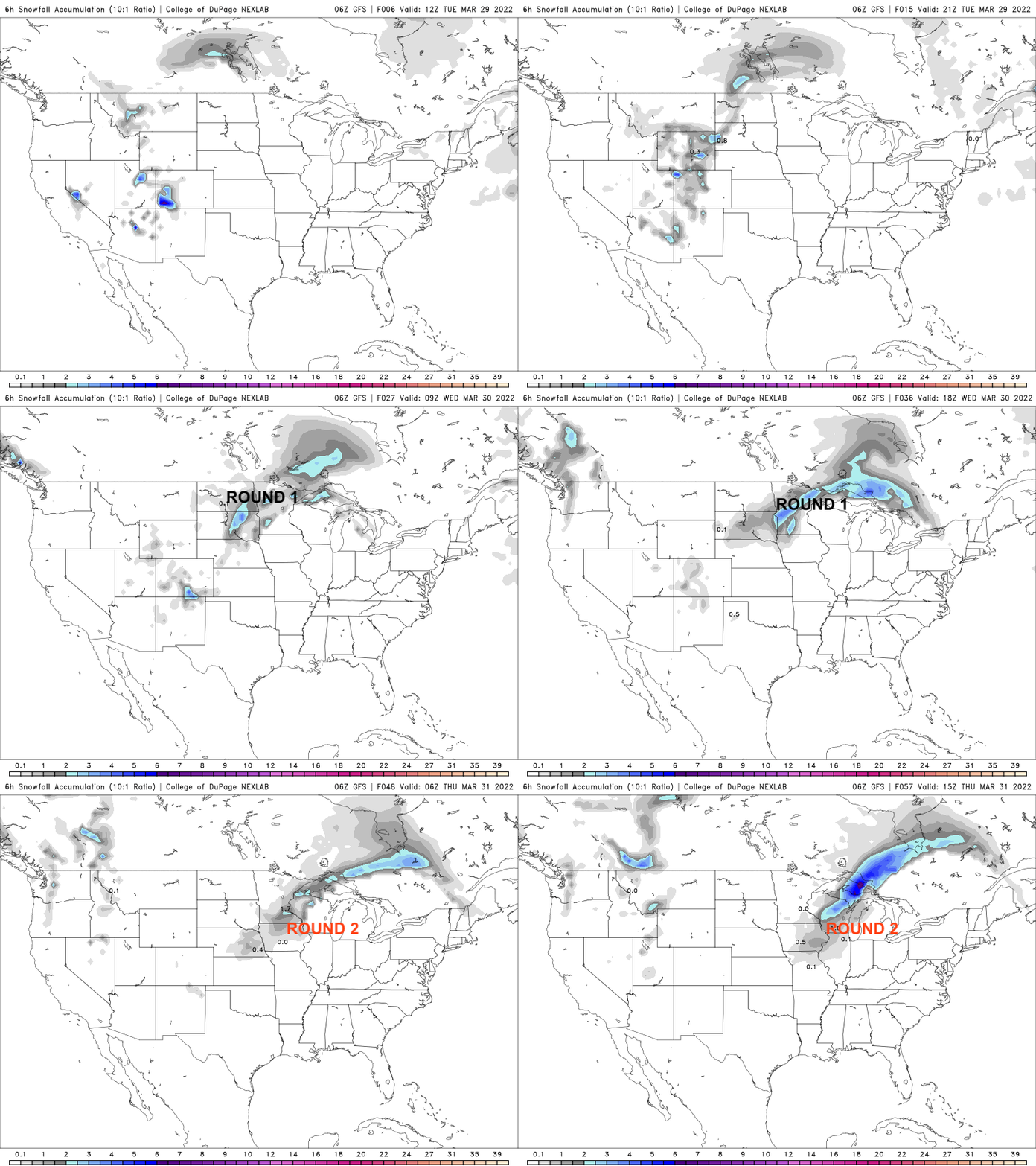
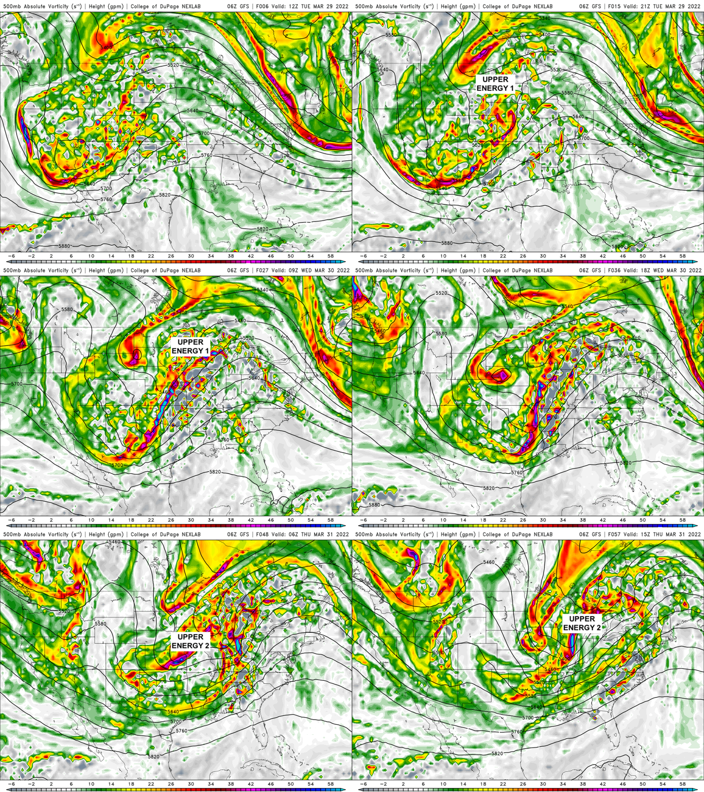
The reason for the two main rounds of snow is the size and fractured nature of this large storm system. The first piece of upper-level energy moves ahead of the upper-level low Tuesday night and then a lagging piece of upper-level energy comes in later Wednesday.
This will allow for much of the state to see some snow, but places like the Twin Cities could end up between these two main areas with just a coating to up to 2 inches.
Warmer air is still on track for the weekend when we should see highs near 50 again!