
Chilly Thursday, clearing; 50 returns Saturday
Clouds clear northwest to southeast, still below normal Thursday
Go Deeper.
Create an account or log in to save stories.
Like this?
Thanks for liking this story! We have added it to a list of your favorite stories.


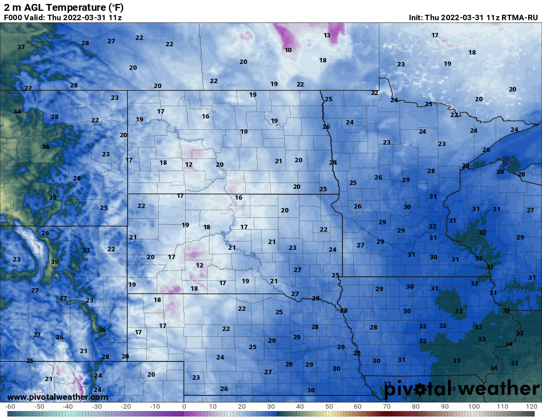
Be wary of ice as temperatures are back below freezing for most of the state early Thursday morning.
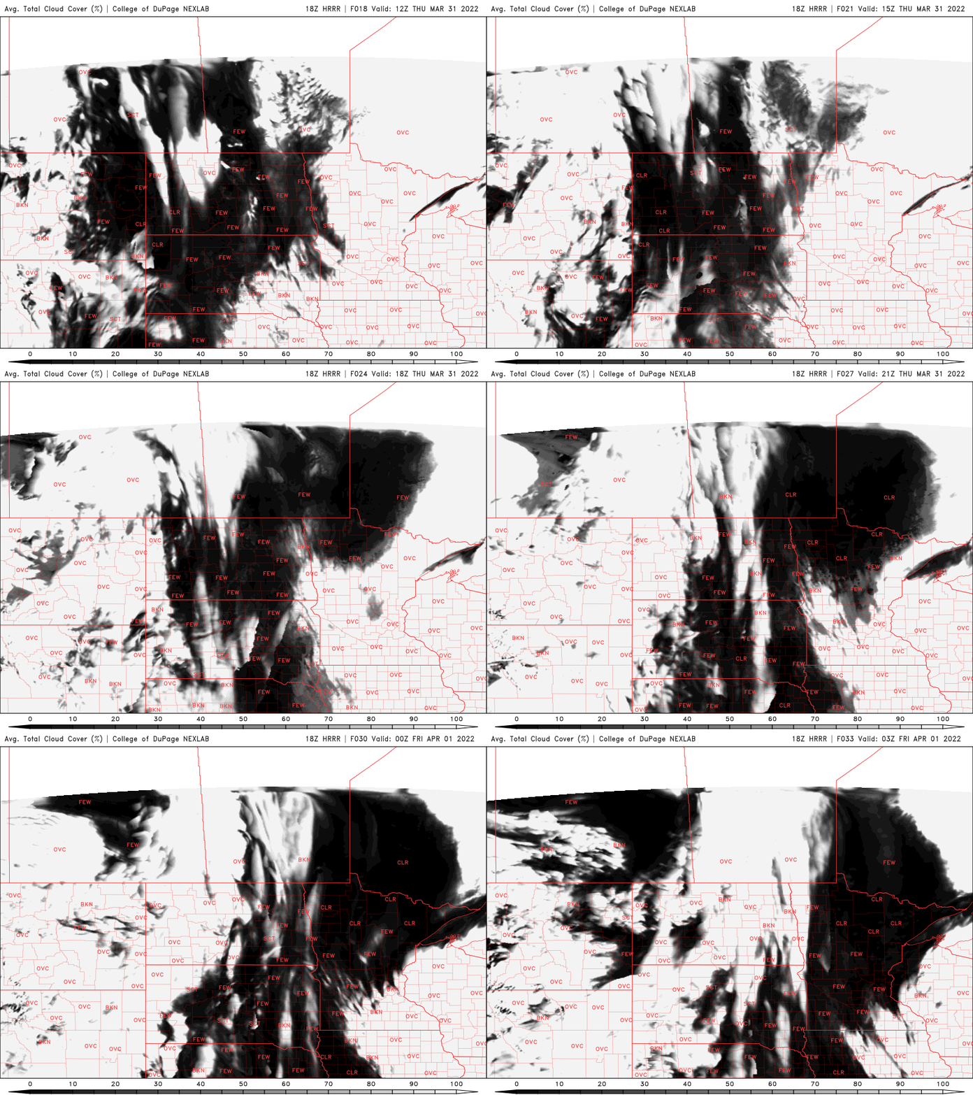
There’s a little leftover drizzle and a few flurries in parts of southeast Minnesota and western Wisconsin that will diminish early on. We’ll see clouds slowly move from northwest to southeast through the day. Northwest Minnesota will see the sun by late morning but southeast Minnesota will not until evening.
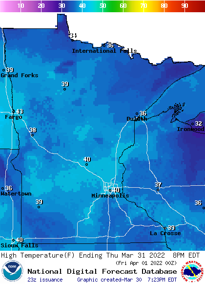
It’ll still be chilly and below normal Thursday with highs mainly in the 30s statewide. Normal highs for the last day of March range from 42 in International Falls to 50 in the Twin Cities. Winds will continue to be a bit blustery as well at 15-20 mph from the north-northwest.
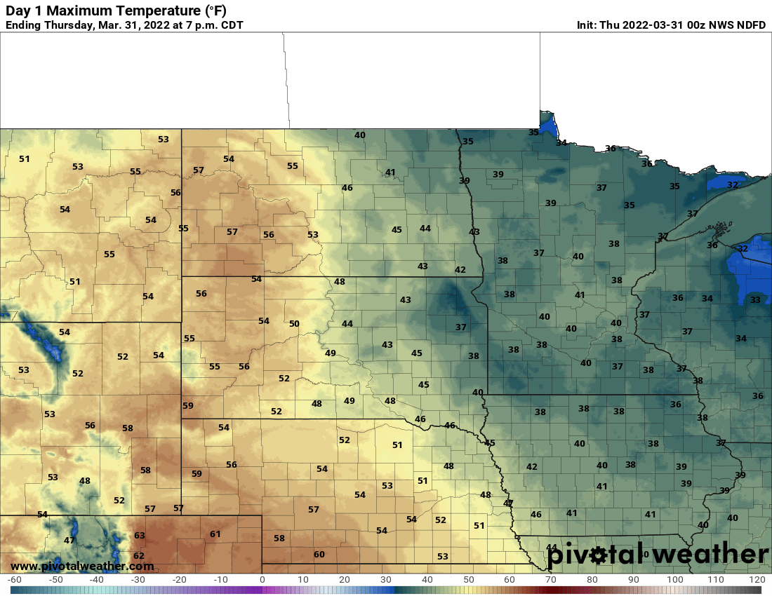
Friday will bring warmer temperatures, upper 40s for southern Minnesota with already a few low 50s to near 40 in the north. We have a fast-moving clipper system that will bring a few rain and snow showers across the region late Friday into Friday night.
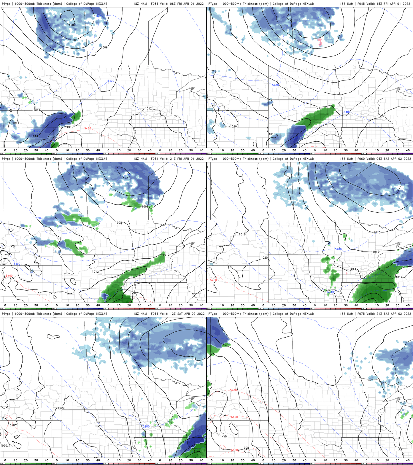
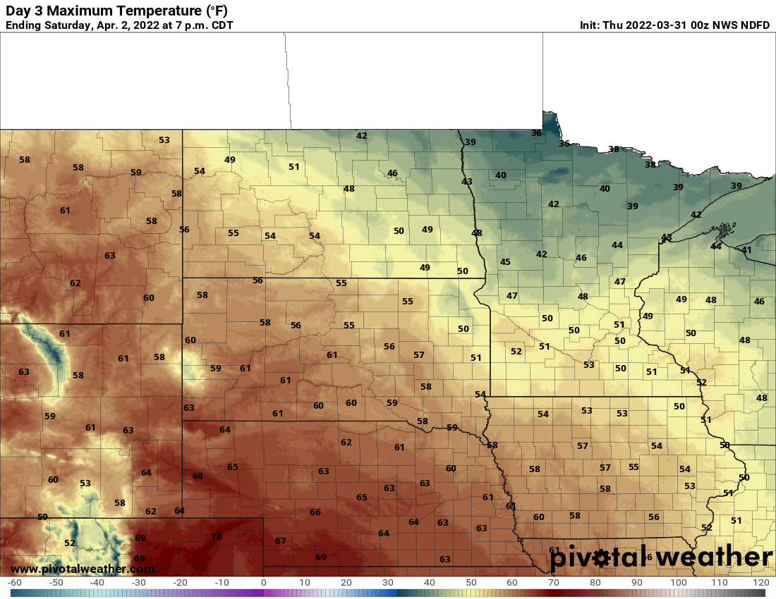
The real treat is the weekend; we should see a fair amount of sun and temperatures topping out at near 50 or warmer! Watch out though, another storm system is on the way potentially for the middle of next week yet again — our third in a row possibly.
Turn Up Your Support
MPR News helps you turn down the noise and build shared understanding. Turn up your support for this public resource and keep trusted journalism accessible to all.

