A milder weekend between rain and snow chances
Clouds increase Friday with showers by evening; milder Saturday
Go Deeper.
Create an account or log in to save stories.
Like this?
Thanks for liking this story! We have added it to a list of your favorite stories.


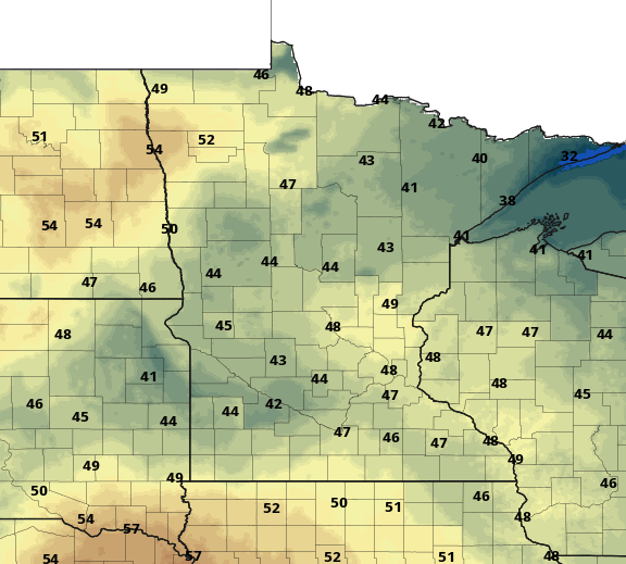
With clear skies overnight and a ridge of high pressure making for light winds, it was a cold one to start Friday. Lows were in the 20s south, but northeast Minnesota was barely above zero in many spots.
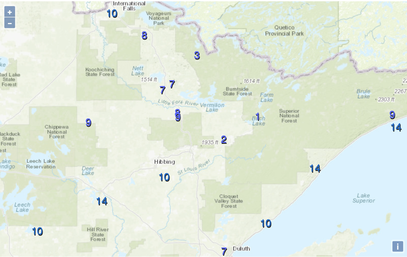
Despite the chilly start, it’ll be a milder day Friday with highs well into the 40s.
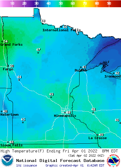
Increasing afternoon cloud cover will keep us from likely reaching 50 Friday afternoon. A clipper system is already in the Dakotas ready to move through Minnesota late Friday into Friday night.
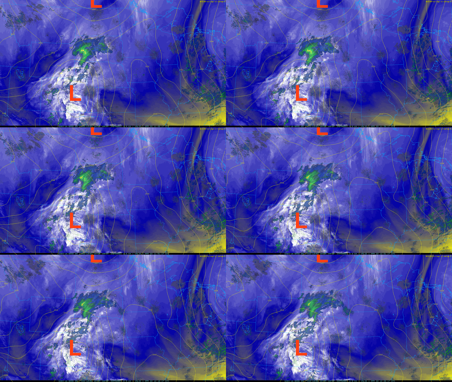
Showers will move in across west central Minnesota by late afternoon Friday. Showers will reach the Twin Cities and eastern Minnesota through the evening.
Turn Up Your Support
MPR News helps you turn down the noise and build shared understanding. Turn up your support for this public resource and keep trusted journalism accessible to all.
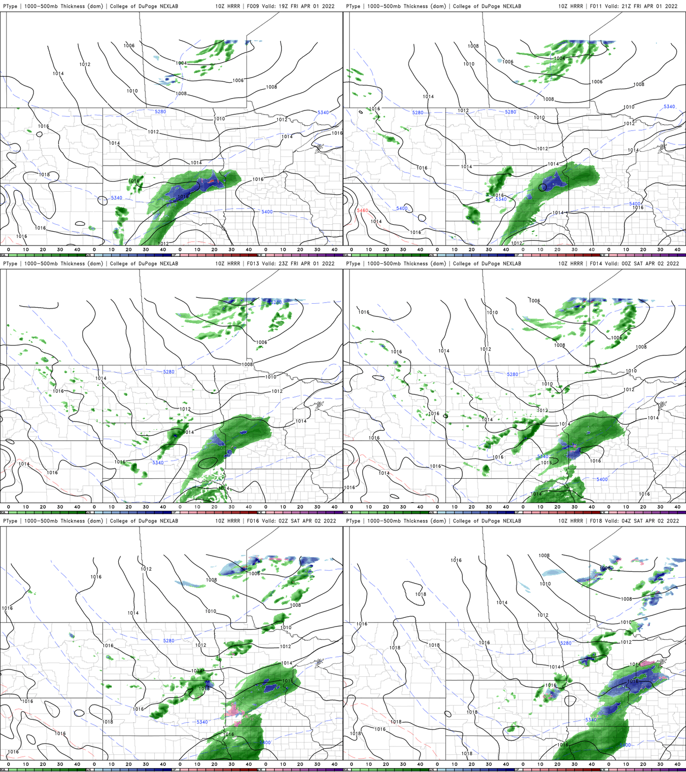
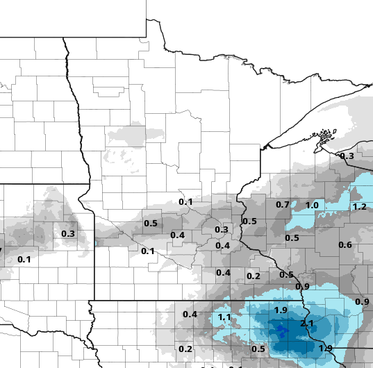
A slushy coating of snow is even possible late in the evening for some spots as temps cool down after dark, especially in far southeast Minnesota.
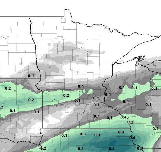
Overall precipitation amounts will be rather light, under 0.10 inches for most.
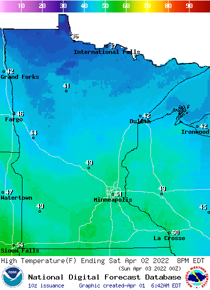
In between the clippers, Saturday looks like the nicest day of the weekend with more sun than clouds and highs in the low 50s from the Twin Cities south, and 40s elsewhere.
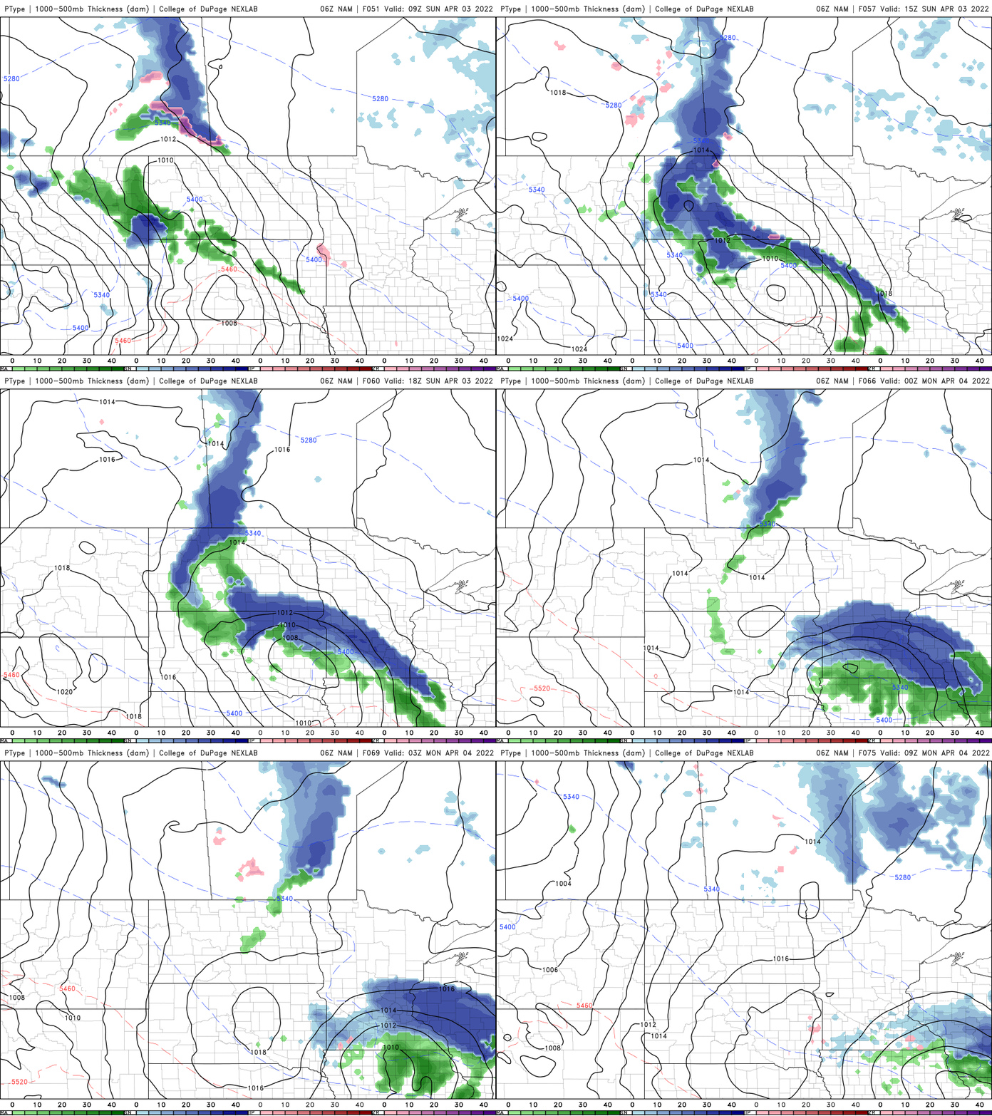
Clouds increase Sunday with showers moving in for the afternoon and evening and once again, some slushy snowfall is possible in spots.
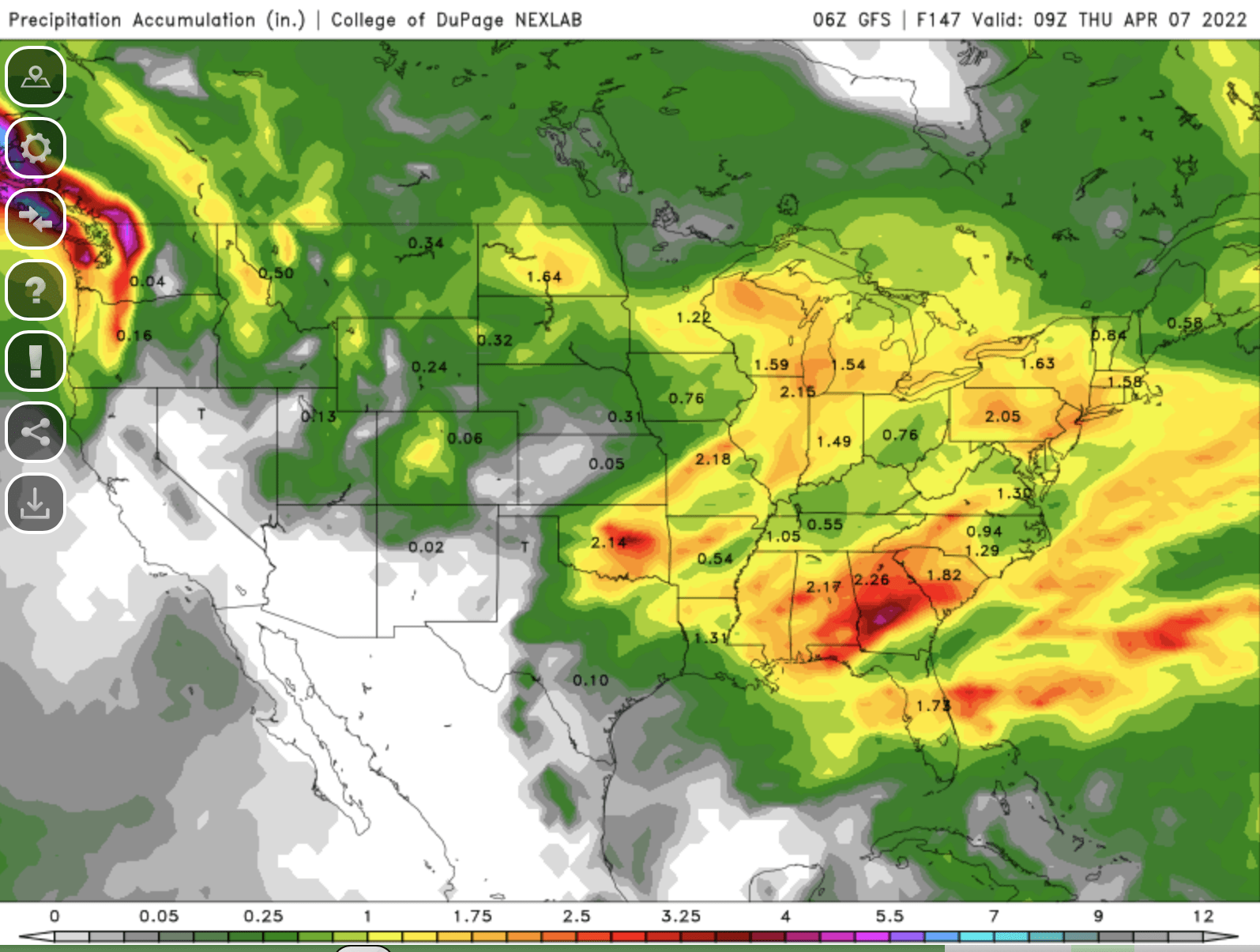
Next week brings yet another big midweek storm system with the potential for substantial rain and possibly snow.
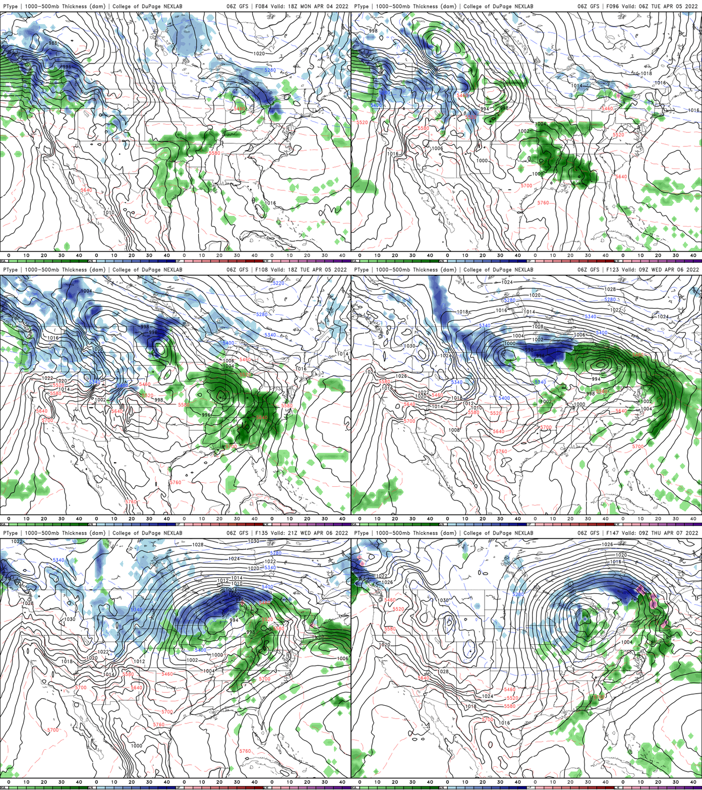
Many models give us over 1 inch of precipitation possibly again but some areas could see snowfall too.